Lakewest Snomo Trail
- 5.3 mi
- round trip
- 1,150 ft
- climb
- 5,442 ft
- high point
- Out and back
- route
- Jun–Sep
- best months
Is LAKEWEST SNOMO TRAIL open right now?
Alert in the area
The Forest Service lists 5 alerts for Diamond Lake Ranger District.
Fall Prescribed Burning
Agency alert covering Diamond Lake Ranger District · USFS · Diamond Lake Ranger District
Fall Prescribed Burning
Agency alert covering Umpqua National Forest · USFS · Umpqua National Forest
Poole Creek Campground Closed for the 2026 Season
Agency alert covering Umpqua National Forest · USFS · Umpqua National Forest
National Forest Service Road 28 Roadwork
Agency alert covering Umpqua National Forest · USFS · Umpqua National Forest
Blue-Green Algae Precaution for Diamond and Lemolo Lakes
Agency alert covering Umpqua National Forest · USFS · Umpqua National Forest
As of · Source: USFS · Diamond Lake Ranger District. Agencies don't list every closure — check before you go.
Lake West Sno Trail is a 10.6-mile out-and-back hike in the Diamond Lake Ranger District of Oregon's Umpqua National Forest, managed by the Forest Service. The trail starts at about 5,400 feet and climbs to a high point of 5,442 feet, with a total gain of 1,150 feet over the course of the round trip. The route is rolling, and the steepest stretch comes at about 4 miles in, where the grade reaches 14 percent. Summer is the most comfortable time to go. Typical averages from a nearby weather station at Crater Lake show July and August highs around 69°F with only about four wet days a month, while winter months bring highs in the low 30s and rain on most days. Several other trails lie within a couple of miles, including the Southern Oregon Intertie Trail - Oregon, Mount Bailey Trail and Boundary Springs. For an overnight stay, Broken Arrow Campground is about 3 miles away.
- Southern Oregon Intertie Trail - OregonHiking1.9 mi
- Mount Bailey TrailHiking2 mi
- Boundary SpringsHiking2.2 mi
- Silent CreekHiking2.3 mi
 Broken Arrow CampgroundCampingPhoto: Recreation.gov (RIDB) / public domain3 mi
- South Shore Hiker/Biker CampCamping3.4 mi
- South Shore PavilionCamping3.4 mi
 Diamond LakeCampingPhoto: Recreation.gov (RIDB) / public domain4.9 mi
Source: Roamze catalog (indexable pages within 10 miles, PostGIS distance)
 LAKE WEST SNOMOHiking · ~6 min drivePhoto: OregonDOT, CC BY 2.0 (via Flickr)
 Mount Thielsen TrailHiking · ~8 min drivePhoto: Forest Service Pacific Northwest Region, Public Domain Mark (via Flickr)
- Porcupine Creek NatureHiking · ~8 min drivePhoto: Forest Service Pacific Northwest Region, Public Domain Mark (via Flickr)
- Pct - Oregon Section DHiking · ~8 min drive
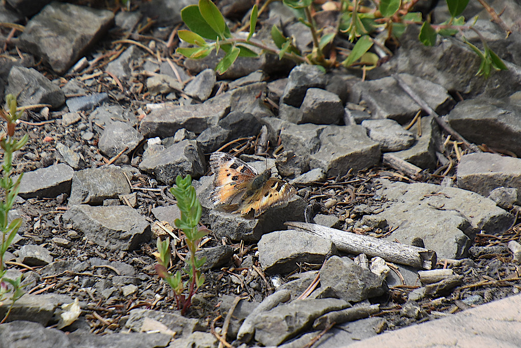 Spruce Ridge TrailHiking · ~11 min drivePhoto: Don Henise, CC BY 2.0 (via Flickr)
 Dellenback Bike PathHiking · ~10 min drivePhoto: Forest Service Pacific Northwest Region, Public Domain Mark (via Flickr)
- Boundary SpringsHiking · ~4 min drive
- HAMAKER LOOP SNOMOHiking · ~13 min drive
- Spruce RidgeHiking · ~12 min drivePhoto: Don Henise, CC BY 2.0 (via Flickr)
 Mt. ThielsenHiking · ~11 min drivePhoto: U.S. Forest Service- Pacific Northwest Region, Public domain (via Wikimedia Commons)
Best time to visit LAKEWEST SNOMO TRAIL
Best months: June–September. Best months have typical highs of 55–85 °F, lows of 30 °F or warmer (32 °F where the station doesn't record snow), at most one snowy day and no more than 12 wet days.
Jan
33° / 20°
18 wet
Feb
34° / 19°
17 wet
Mar
36° / 20°
18 wet
Apr
40° / 23°
16 wet
May
49° / 29°
12 wet
Jun
57° / 34°
7 wet
Jul
69° / 41°
4 wet
Aug
69° / 42°
4 wet
Sep
63° / 37°
6 wet
Oct
51° / 30°
10 wet
Nov
38° / 23°
16 wet
Dec
33° / 19°
18 wet
Typical high / low (°F) and days with rain or snow, 1991–2020. Measured at Crater Lake Nps Hq, OR, 14.1 mi away at 6,485 ft. The station sits about 1,000 ft higher than this place, so expect it a little warmer here. This station doesn't record snowfall. Source: NOAA NCEI U.S. Climate Normals 1991–2020.

