Keeton
- 16.8 mi
- round trip
- 4,972 ft
- climb
- 5,991 ft
- high point
- Out and back
- route
Is Keeton open right now?
Closure in the area
There's a closure order in Ochoco National Forest. It doesn't name Keeton, so check the source for the area it covers.
Rowe Creek Complex Emergency Closure Order
Agency closure covering Ochoco National Forest · Order 06-07-26-04 · USFS · Ochoco National Forest
Blue-Green Algae Information
Agency alert covering Ochoco National Forest · USFS · Ochoco National Forest
Prescribed Fire information
Agency alert covering Ochoco National Forest · USFS · Ochoco National Forest
As of · Source: USFS · Ochoco National Forest. Agencies don't list every closure — check before you go.
Keeton is a hard hike of about 16.8 miles in the Paulina Ranger District of Oregon's Ochoco National Forest, managed by the Forest Service. The trail is out and back, starting at roughly 5,872 feet and rising to about 5,991 feet before returning to the same starting point. The total climb is about 4,972 feet round trip, with the steepest stretch around mile 2.6, where the grade reaches about 32%. The route is on natural surface, and both bikes and horses are allowed. The closest nearby stops include the Barnhouse hike about 5 miles away, Scotts Camp at roughly 6 miles, and the canoeing on Mountain Creek and Deep Creek, each about 6 miles off.
Keep exploring — more trails worth the drive
 Photo: xtaxta, CC BY 2.0 (via Wikimedia Commons)
Owl Creek Trail #820A
~28 min drive
1.1-mile out-and-back trail in Oregon with 449 ft gain
Photo: xtaxta, CC BY 2.0 (via Wikimedia Commons)BLACK CANYON
~30 min drive
9.84-mile out-and-back in Oregon with 2,770 ft gain and 6,315 ft max elevation.
Photo: xtaxta, CC BY 2.0 (via Wikimedia Commons)Coffee Pot Trail #820B
~31 min drive
2.18-mile out-and-back trail in Oregon with 952 ft elevation gain
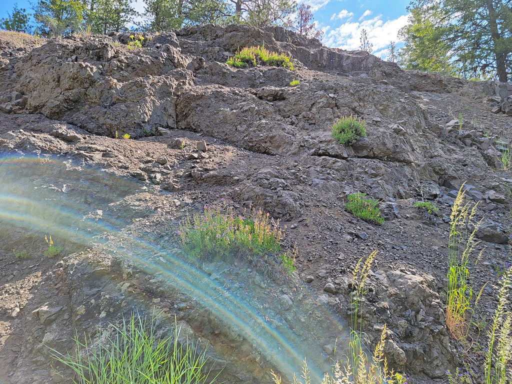 Photo: AndreyZharkikh, CC BY 2.0 (via Flickr)
Lookout Mountain
~30 min drive
0.90-mile out-and-back trail on Lookout Mountain in Oregon with 12 ft gain.
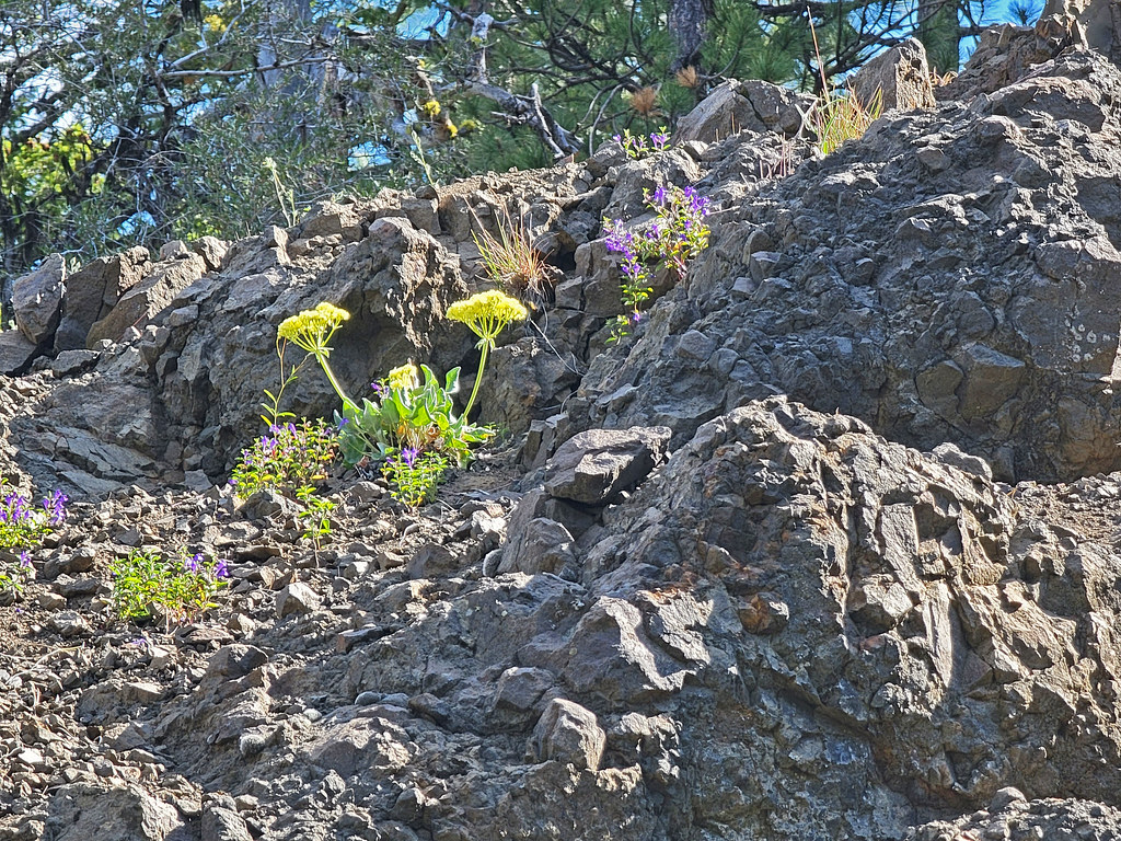 Photo: AndreyZharkikh, CC BY 2.0 (via Flickr)
Independent Mine
~31 min drive
Historic 14.55-mile out-and-back mining trail in Oregon.
 Photo: lamblukas, CC BY 2.0 (via Flickr)
Carroll Rim
~32 min drive
Carroll Rim is a 0.80-mile out-and-back trail in Oregon with 232 ft of elevation gain.
Photo: AndreyZharkikh, CC BY 2.0 (via Flickr)Baneberry Trail
~30 min drive
Baneberry Trail is a 0.32-mile point-to-point trail in Oregon.
HIKE
Ochoco Mountain
~23 min drive
47-mile out-and-back trail in Oregon with 3,938 ft gain
HIKE
Barnhouse
~9 min drive
4.80-mile out-and-back trail in Oregon with 838 ft gain.
Photo: AndreyZharkikh, CC BY 2.0 (via Flickr)Baneberry
~31 min drive
1.58-mile out-and-back trail to Baneberry waterfall in Oregon.

