Hiker/ biker
Campground
Campground · 5.3 mi from the trail
 Photo: Bureau of Land Management Oregon and Washington, Public domain (via Wikimedia Commons)
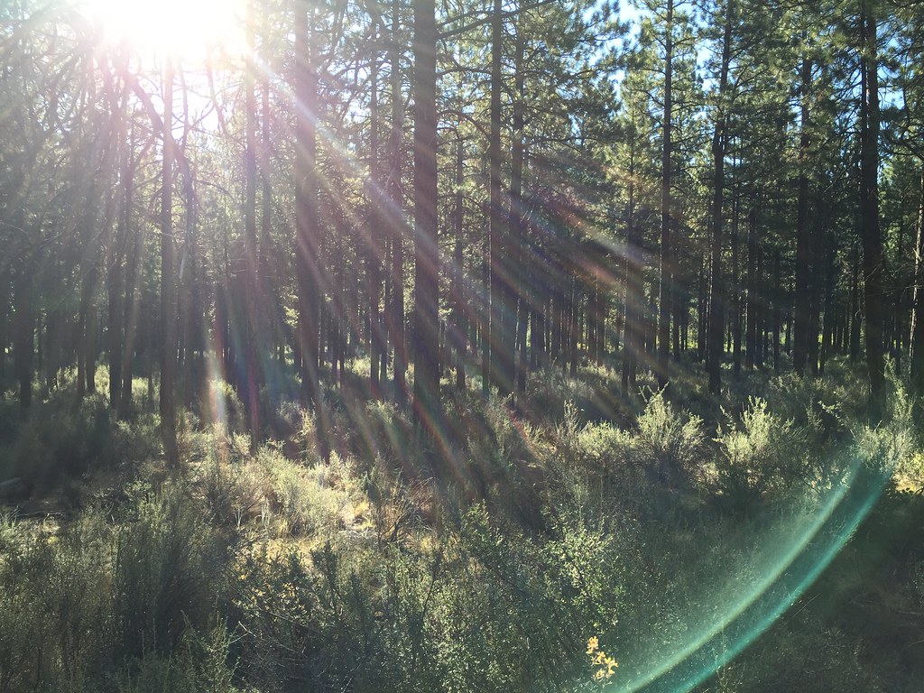
Huntington Wagon Road Trail is a short, easy hike on Bureau of Land Management land in Oregon's Prineville Deschutes Field Office, about 1.16 miles long and roughly 2.3 miles round trip. The trail is an out-and-back with a flat profile, rising about 22 feet one way to a high point of 3,359 feet from a starting elevation of 3,346 feet. The steepest stretch comes at about 0.8 miles in, with a grade of about 2 percent. Summer is the most comfortable time to go. Typical averages from a nearby weather station in Bend show July and August highs around 82°F with lows near 49°F and only two or three wet days a month. Winter is much colder, with January highs around 42°F and lows near 24°F. The hike takes about an hour. The trail is on natural surface, and the surrounding area offers more to explore. Perimeter Trail is about 4.9 miles away, Deschutes River Trail about 5.5 miles, and A La Rockbar Trail about 5.7 miles. Climbers can find Stevens Cave about 7.1 miles off.
Hiker/ biker
Campground
Places © OpenStreetMap contributors, Places © Overture Maps Foundation
More in SistersNot on Roamze yet. Their page has how to reach them.
 Perimeter TrailHikingPhoto: m01229, CC BY-SA 2.0 (via Flickr)4.9 mi
Source: Roamze catalog (indexable pages within 10 miles, PostGIS distance)
Perimeter TrailHiking · ~8 min drivePhoto: m01229, CC BY-SA 2.0 (via Flickr) Pilot Butte Nature TrailHiking · ~10 min drivePhoto: Robert Ashworth from Bellingham, WA., USA, CC BY 2.0 (via Wikimedia Commons)
 Dog PathHiking · ~12 min drivePhoto: Bonnie Moreland (free images), Public Domain Mark (via Flickr)
 Fat Rabbit Loop TrailHiking · ~13 min drivePhoto: Kris Arnold from New York, USA, CC BY-SA 2.0 (via Wikimedia Commons)Wrangler RoadHiking · ~13 min drivePhoto: Kris Arnold from New York, USA, CC BY-SA 2.0 (via Wikimedia Commons)
 Tumalo Creek TrailHiking · ~14 min drivePhoto: igb, CC BY 2.0 (via Flickr)Unnamed BLM TrailHiking · ~14 min drivePhoto: Kris Arnold from New York, USA, CC BY-SA 2.0 (via Wikimedia Commons)
Best months: May–October. Best months have typical highs of 55–85 °F, lows of 30 °F or warmer (32 °F where the station doesn't record snow), at most one snowy day and no more than 12 wet days.
Jan
42° / 24°
8 wet
Feb
45° / 25°
6 wet
Mar
51° / 28°
6 wet
Apr
57° / 31°
7 wet
May
65° / 38°
7 wet
Jun
72° / 43°
5 wet
Jul
82° / 49°
3 wet
Aug
82° / 49°
2 wet
Sep
74° / 42°
3 wet
Oct
62° / 34°
5 wet
Nov
48° / 28°
7 wet
Dec
40° / 23°
8 wet
Typical high / low (°F) and days with rain or snow, 1991–2020. Measured at Bend 7 Ne, OR, 1.4 mi away at 3,358 ft. This station doesn't record snowfall. Source: NOAA NCEI U.S. Climate Normals 1991–2020.

