Heart Lake
- 1.8 mi
- round trip
- 813 ft
- climb
- 5,597 ft
- high point
- Out and back
- route
Caution today
Agency alerts are in effect for this area; weather is good · USFS, OpenWeather · checked 2 h ago
Is Heart Lake open right now?
Closure in the area
There's a closure order in Willamette National Forest. It doesn't name Heart Lake, so check the source for the area it covers.
Cedar Creek Fire Closure
Agency closure covering Willamette National Forest · Order 06-18-10-26-04 · USFS · Willamette National Forest
FIRE CLOSURES: Current wildfire closures on the Willamette National Forest
Agency alert covering Willamette National Forest · USFS · Willamette National Forest
As of · Source: USFS · Willamette National Forest. Agencies don't list every closure — check before you go.
Heart Lake is a moderate out-and-back hike of about 1.8 miles on natural-surface trails in the Sweet Home Ranger District of Oregon's Willamette National Forest. The trip gains about 813 feet of elevation from a low point around 5,218 feet to a high of about 5,597 feet, with the steepest stretch coming within the first 0.06 miles at a grade of nearly 19 percent. The Forest Service manages the land, and the route is open from about June through October. Bikes are allowed, and the estimated time for the round trip is about an hour. Heart Lake Trail #3407 and Gate Creek both lie about 0.7 miles away. Lost Prairie and Lakes End campgrounds are within about 3 miles.
Local outfitters
- Horse Creek Lodge & Outfitters14 mi away
- Patio RV Park14 mi away
Not on Roamze yet. Their page has how to reach them.
Keep exploring — more trails worth the drive
 Photo: AndreyZharkikh, CC BY 2.0 (via Flickr)
Tombstone Nature
~5 min drive
0.68-mile out-and-back trail in Oregon with 217 ft of elevation gain.
 Photo: AndreyZharkikh, CC BY 2.0 (via Flickr)
Iron Mountain
~6 min drive
Short out-and-back climb to an Oregon summit with panoramic views.
 Photo: AndreyZharkikh, CC BY 2.0 (via Flickr)
Cone Peak
~7 min drive
6.60-mile out-and-back trail in Oregon with 939 ft gain
HIKE
Mckenzie River National Recreation Trail
~14 min drive
13.30-mile out-and-back trail in Oregon with 6,308 ft elevation gain.
Photo: AndreyZharkikh, CC BY 2.0 (via Flickr)Iron Mountain-Cone Peak Loop
~5 min drive
Point-to-point alpine traverse connecting two Cascade peaks with panoramic views.
 Photo: Bonnie Moreland (free images), Public Domain Mark (via Flickr)
ISAAC NICKERSON LOOP
~7 min drive
6.04-mile out-and-back out-and-back in Oregon with 1,993 ft elevation gain
HIKE
Browder Ridge
~4 min drive
7.60-mile out-and-back trail in Oregon with 2,309 ft elevation gain.
HIKE
Deer Butte Trail #3508
~14 min drive
17-mile out-and-back trail in Oregon with 3,077 ft elevation gain and loss.
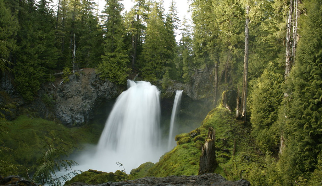 Photo: acaben, CC BY-SA 2.0 (via Flickr)
Waterfalls
~8 min drive
1.24-mile out-and-back trail in Oregon with 3,047 ft elevation gain.
Photo: Bonnie Moreland (free images), Public Domain Mark (via Flickr)PRAIRIE VIEW LOOP
~7 min drive
5.40-mile loop trail in Oregon with 822 ft elevation gain.

