Hardesty Trail #3469
- 5.2 mi
- round trip
- 3,931 ft
- climb
- 4,235 ft
- high point
- Out and back
- route
Is Hardesty Trail #3469 open right now?
Closure in the area
There's a closure order in Willamette National Forest. It doesn't name Hardesty Trail #3469, so check the source for the area it covers.
Cedar Creek Fire Closure
Agency closure covering Willamette National Forest · Order 06-18-10-26-04 · USFS · Willamette National Forest
FIRE CLOSURES: Current wildfire closures on the Willamette National Forest
Agency alert covering Willamette National Forest · USFS · Willamette National Forest
2026 Active Wildfire
Agency alert covering Middle Fork Ranger District · USFS · Middle Fork Ranger District
As of · Source: USFS · Willamette National Forest. Agencies don't list every closure — check before you go.
Hardesty Trail #3469 is a hard hike in the Middle Fork Ranger District of the Willamette National Forest in Oregon, managed by the Forest Service. The trail is an out-and-back route of about 10 miles, with a one-way climb of roughly 3,000 feet. The total elevation gain is about 3,900 feet, and the steepest stretch comes at about 3.7 miles in, where the grade reaches 37 percent. The trail starts at about 1,400 feet and climbs to a high point of about 4,235 feet. The climb is front-loaded, so the hardest part comes early on the way up. The South Willamette hike lies just 0.1 mile away, and the Hardesty hike is about 2 miles off. Paddlers can head to Goodman Creek, about 1.6 miles away, and Black Canyon Campground (Willamette National Forest, OR) is about 4.1 miles away.
Local outfitters
- Casey's Riverside RV Resort9 mi away
- Patio RV Park33 mi away
Not on Roamze yet. Their page has how to reach them.
Keep exploring — more trails worth the drive
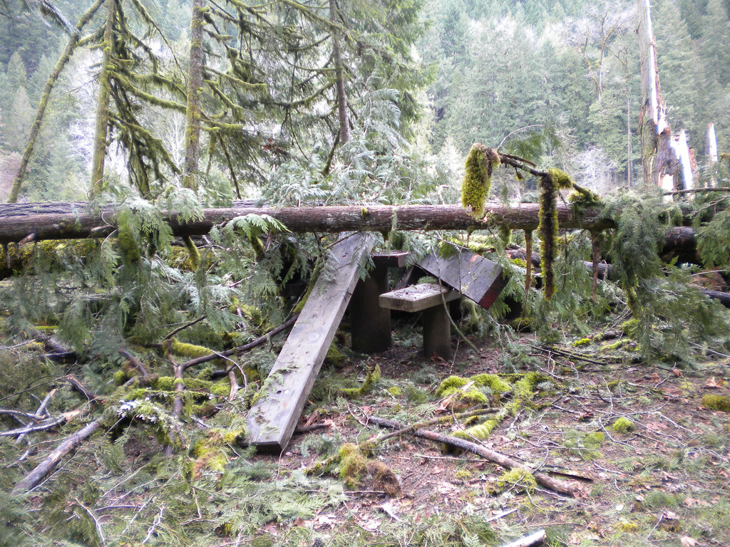 Photo: Forest Service Pacific Northwest Region, Public Domain Mark (via Flickr)
Deception Butte
~15 min drive
9.76-mile out-and-back trail in Oregon with 3,764 ft elevation gain
Photo: Forest Service Pacific Northwest Region, Public Domain Mark (via Flickr)Wren Loop
~15 min drive
1.60-mile out-and-back trail in Oregon with 185 ft gain.
Photo: Forest Service Pacific Northwest Region, Public Domain Mark (via Flickr)Lower Middle Fork
~16 min drive
3.32-mile out-and-back trail on the Middle Fork in Oregon.
HIKE
Lawler Trail #3473
~7 min drive
13.58-mile out-and-back trail in Oregon with 4,887 ft elevation gain and loss.
 Photo: Bruce Fingerhood from Springfield, Oregon, US, CC BY 2.0 (via Wikimedia Commons)
North Fork Segment #1
~17 min drive
9.75-mile out-and-back trail in Oregon with 2,010 ft gain
HIKE
Hardesty Trail #3469
Next door
1.16-mile out-and-back trail in Oregon with 460 ft elevation gain.
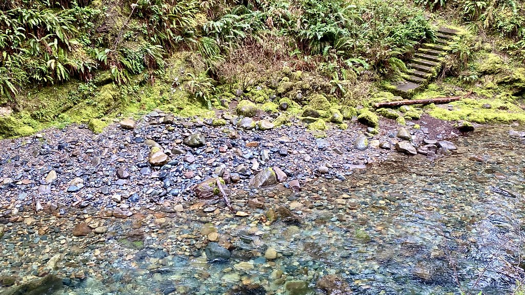 Photo: lamblukas, CC BY 2.0 (via Flickr)
Brice Creek
~21 min drive
3.00-mile out-and-back trail in Oregon with 1,112 ft elevation gain.
HIKE
Tire Mountain Trail
~14 min drive
Moderate 6-mile out-and-back climb to Tire Mountain summit views.
HIKE
South Willamette
Next door
10-mile out-and-back trail in Oregon with 1,429 ft elevation gain.
HIKE
Eula Ridge
~5 min drive
1-mile out-and-back trail on Eula Ridge in Oregon with 77 ft gain.
Route details
- Distance
- 5.2 mi round trip
- Climbing
- About 3,931 ft
- Summit
- 4,297 ft
- Difficulty
- Hard
- Time
- About 3.5 hours
Other routes up Hardesty Mountain
Questions about this route
How long is the Hardesty Trail #3469 on Hardesty Mountain?
About 5.2 mi round trip.
How much elevation gain is on the Hardesty Trail #3469?
About 3,931 ft of climbing round trip.
How hard is the Hardesty Trail #3469?
It is rated hard.
How long does the Hardesty Trail #3469 take?
About 3.5 hours round trip.
How many routes go up Hardesty Mountain?
3: Hardesty Trail #3469, Hardesty and Sawtooth.
Conditions and forecast on Hardesty Mountain
Daily highs and lows, wind and the chance of precipitation at the summit and route start for the next 7 days, from the Open-Meteo model.
Map and trail data © OpenStreetMap contributors
