Fall River Loop 4 3/4 Mile
- 3.5 mi
- loop
- 215 ft
- climb
- 4,238 ft
- high point
- Loop
- route
- May–Sep
- best months
The Fall River Loop 4 3/4 Mile is an easy hike of about 3.5 miles in LaPine State Park in Oregon, on city-managed land. The route starts at roughly 4,223 feet and reaches a high point of about 4,238 feet, with a total elevation gain of about 215 feet. The climb is gentle, with the steepest stretch at about 1.5 miles in, and the trail also has a small drop of about 223 feet. Summer is the most comfortable time to go. Typical averages from a nearby weather station in Sunriver run to highs around 84°F in July and 83°F in August, while winter highs sit in the low 40s. The hike takes about 1.5 hours. The Deschutes Loop 3 1 and Mc Gregor Loop 1 1 are both about 0.3 miles away, and the Cougar Woods Loop 3 1/8 Mile is about 0.9 miles off. Fall River Falls Trail is about a mile away.
Local outfitters
- Wanderlust Tours21 mi away
- Paradise Birding21 mi away
Not on Roamze yet. Their page has how to reach them.
- Deschutes Loop 3 1Hiking0.3 mi
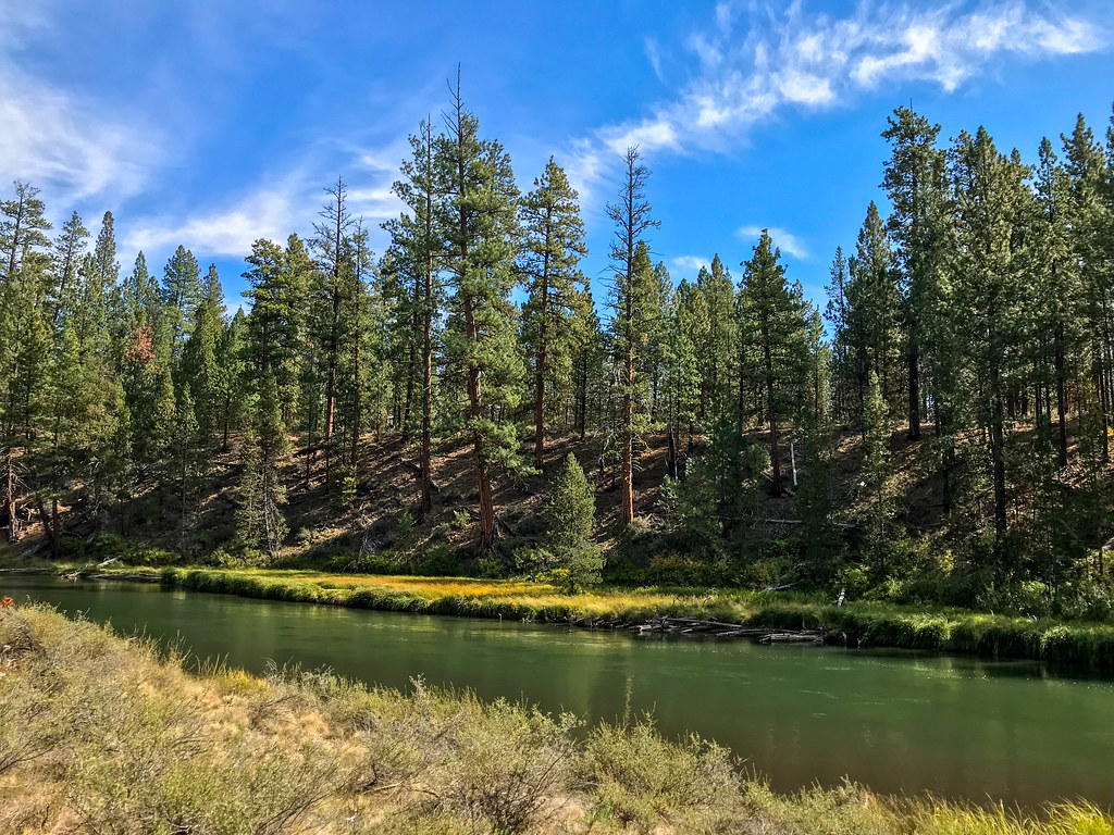 Mc Gregor Loop 1 1HikingPhoto: runarut, CC BY 2.0 (via Flickr)0.3 mi
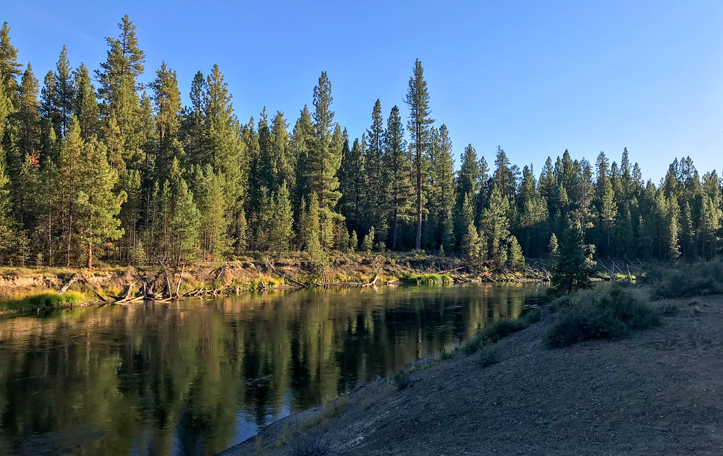 Cougar Woods Loop 3 1/8 MileHikingPhoto: runarut, CC BY 2.0 (via Flickr)0.9 mi
- Fall River Falls TrailHiking1 mi
 Big RiverCampingPhoto: Recreation.gov (RIDB) / public domain3.1 mi
- Pringle FallsCamping4.2 mi
 Fall River CampgroundCampingPhoto: Recreation.gov (RIDB) / public domain4.5 mi
- WyethCamping5.2 mi
Source: Roamze catalog (indexable pages within 10 miles, PostGIS distance)
- Mc Gregor Loop 1 1Hiking · Next doorPhoto: runarut, CC BY 2.0 (via Flickr)
 Deschutes River TrailHiking · ~18 min drivePhoto: Nicolás Boullosa from Fontainebleau, France, CC BY 2.0 (via Wikimedia Commons)
 Sun-LavaHiking · ~21 min drivePhoto: Forest Service Pacific Northwest Region, Public Domain Mark (via Flickr)
 Lava Butte RimHiking · ~22 min drivePhoto: daveynin, CC BY 2.0 (via Flickr)
- Edison-Lava TrailHiking · ~19 min drive
- Cougar Woods Loop 3 1/8 MileHiking · ~1 min drivePhoto: runarut, CC BY 2.0 (via Flickr)
- Black Rock #3935Hiking · ~21 min drivePhoto: Forest Service Pacific Northwest Region, Public Domain Mark (via Flickr)
 Tylers'sHiking · ~22 min drivePhoto: U.S. Forest Service- Pacific Northwest Region, Public domain (via Wikimedia Commons)
- Big Pine Loop 1 MileHiking · ~1 min drivePhoto: runarut, CC BY 2.0 (via Flickr)
- DuodenemHiking · ~20 min drive
Best time to visit Fall River Loop 4 3/4 Mile
Best months: May–September. Best months have typical highs of 55–85 °F, lows of 30 °F or warmer (32 °F where the station doesn't record snow), at most one snowy day and no more than 12 wet days.
Jan
40° / 20°
Feb
43° / 21°
Mar
50° / 24°
Apr
57° / 25°
May
65° / 33°
Jun
72° / 37°
Jul
84° / 41°
Aug
83° / 40°
Sep
76° / 34°
Oct
62° / 28°
Nov
46° / 24°
Dec
37° / 19°
Typical high / low (°F) and days with rain or snow, 1991–2020. Measured at Sunriver, OR, 9.8 mi away at 4,180 ft. This station doesn't record snowfall. Source: NOAA NCEI U.S. Climate Normals 1991–2020.
Map and trail data © OpenStreetMap contributors
