Deschutes Loop 3 1
- 2.9 mi
- loop
- 42 ft
- climb
- 4,239 ft
- high point
- Loop
- route
- May–Sep
- best months
Deschutes Loop 3 1 is an easy hike in Oregon, about 4.3 miles from the town of Three Rivers. It is a short walk, roughly 2.9 miles long, with a low elevation gain of about 42 feet one way. The route rises gently from a low point of 4,185 feet to a high of 4,239 feet. The steepest stretch comes early, at about 0.09 miles in, where the grade reaches 5 percent. Late spring and early fall tend to be the most comfortable times to go. Typical averages from a nearby weather station in Sunriver run to highs around 65°F in May and 76°F in September, while July and August average in the mid-80s. Mc Gregor Loop 1 1 starts just 0.2 miles away, and Fall River Loop 4 3/4 Mile is about 0.3 miles off. Fall River Falls lies a little farther a mile or two away. Big River Campground is about 3.3 miles away.
Local outfitters
- Wanderlust Tours21 mi away
- Paradise Birding21 mi away
Not on Roamze yet. Their page has how to reach them.
Best time to go · May–Sep
Best time to visit Deschutes Loop 3 1
Best months: May–September. Best months have typical highs of 55–85 °F, lows of 30 °F or warmer (32 °F where the station doesn't record snow), at most one snowy day and no more than 12 wet days.
Jan
40° / 20°
Feb
43° / 21°
Mar
50° / 24°
Apr
57° / 25°
May
65° / 33°
Jun
72° / 37°
Jul
84° / 41°
Aug
83° / 40°
Sep
76° / 34°
Oct
62° / 28°
Nov
46° / 24°
Dec
37° / 19°
Typical high / low (°F) and days with rain or snow, 1991–2020. Measured at Sunriver, OR, 10.1 mi away at 4,180 ft. This station doesn't record snowfall. Source: NOAA NCEI U.S. Climate Normals 1991–2020.
Keep exploring — more trails worth the drive
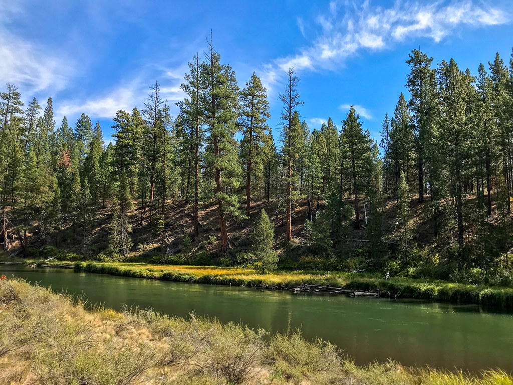 Photo: runarut, CC BY 2.0 (via Flickr)
Mc Gregor Loop 1 1
Next door
Easy 1.44-mile out-and-back trail in Oregon.
 Photo: Nicolás Boullosa from Fontainebleau, France, CC BY 2.0 (via Wikimedia Commons)
Roundabout
~16 min drive
6.70-mile out-and-back trail in Oregon with 377 ft elevation gain.
Photo: Nicolás Boullosa from Fontainebleau, France, CC BY 2.0 (via Wikimedia Commons)Deschutes River Trail
~18 min drive
5.16-mile out-and-back along the Deschutes River in Oregon.
 Photo: daveynin, CC BY 2.0 (via Flickr)
Lava Butte Rim
~22 min drive
0.34-mile loop trail at Lava Butte Rim in Oregon with 80 ft of elevation gain.
HIKE
Edison-Lava Trail
~19 min drive
19.64-mile out-and-back trail in Oregon with 2,502 ft gain/loss.
Photo: runarut, CC BY 2.0 (via Flickr)Cougar Woods Loop 3 1/8 Mile
Next door
1.42-mile out-and-back trail in Oregon with 241 ft elevation gain
 Photo: Forest Service Pacific Northwest Region, Public Domain Mark (via Flickr)
Dynah-Moe Humm
~19 min drive
12.80-mile out-and-back trail in Oregon with 1,078 ft elevation gain.
 Photo: Forest Service Pacific Northwest Region, Public Domain Mark (via Flickr)
Black Rock #3935
~22 min drive
4.12-mile out-and-back trail in Oregon with 166 ft elevation gain.
Photo: runarut, CC BY 2.0 (via Flickr)Big Pine Loop 1 Mile
Next door
1.14-mile out-and-back trail in Oregon with 309 ft elevation gain.
Photo: Forest Service Pacific Northwest Region, Public Domain Mark (via Flickr)Blackrock
~22 min drive
9.90-mile out-and-back trail in Oregon with 172 ft gain
Also worth it near here
Map and trail data © OpenStreetMap contributors
