Eula Ridge Trail #3463
- 3.7 mi
- round trip
- 3,461 ft
- climb
- 3,923 ft
- high point
- Out and back
- route
Is Eula Ridge Trail #3463 open right now?
Closure in the area
There's a closure order in Willamette National Forest. It doesn't name Eula Ridge Trail #3463, so check the source for the area it covers.
Cedar Creek Fire Closure
Agency closure covering Willamette National Forest · Order 06-18-10-26-04 · USFS · Willamette National Forest
FIRE CLOSURES: Current wildfire closures on the Willamette National Forest
Agency alert covering Willamette National Forest · USFS · Willamette National Forest
2026 Active Wildfire
Agency alert covering Middle Fork Ranger District · USFS · Middle Fork Ranger District
As of · Source: USFS · Willamette National Forest. Agencies don't list every closure — check before you go.
Eula Ridge Trail #3463 is a hard hike in the Middle Fork Ranger District of the Willamette National Forest in Oregon, managed by the Forest Service. The trail is an out-and-back route of about 7.5 miles, with a one-way climb of roughly 2,950 feet. The total gain and loss over the round trip are each about 3,460 feet, and the trail rises from a low point of about 955 feet to a high of about 3,923 feet. The Lawler Trail #3473 starts just 0.1 mile away, and Black Canyon Campground (Willamette National Forest, OR) is about 1.8 miles off. Hardesty is a hike about 2.1 miles away, and Goodman Creek, a canoeing spot, is about 3.4 miles away.
Local outfitters
- Casey's Riverside RV Resort7 mi away
- Patio RV Park32 mi away
Not on Roamze yet. Their page has how to reach them.
Keep exploring — more trails worth the drive
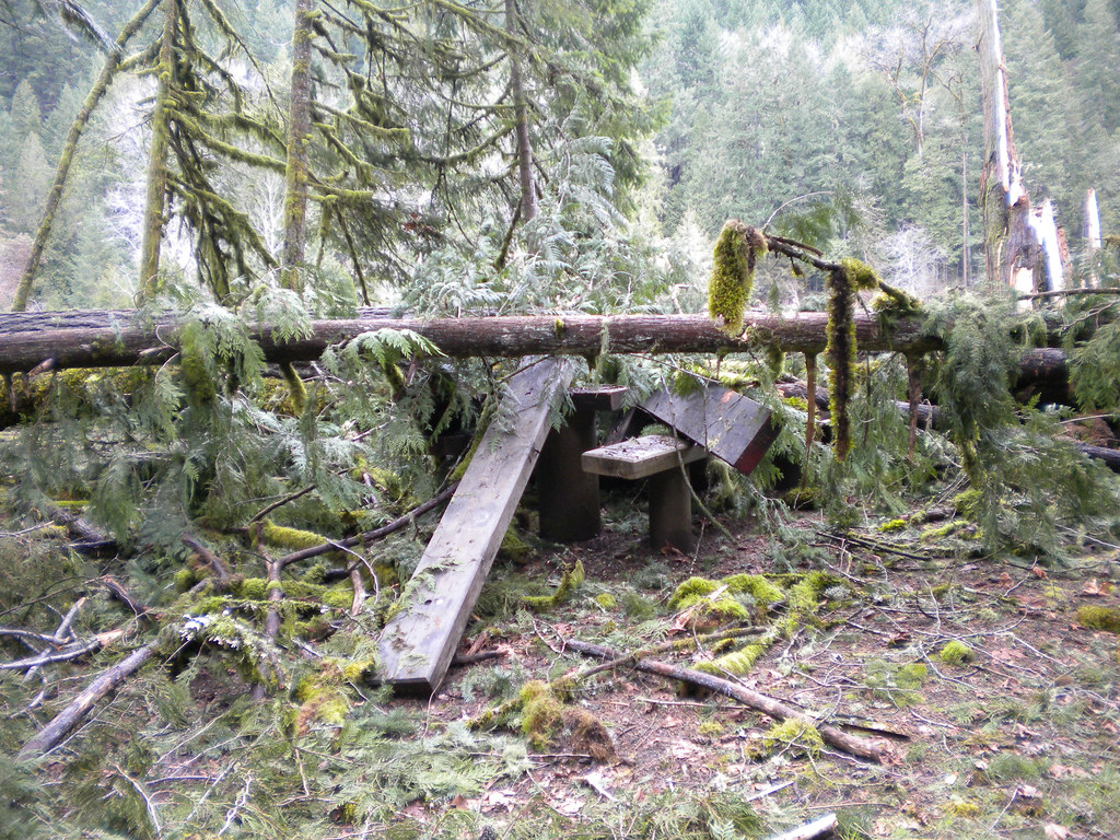 Photo: Forest Service Pacific Northwest Region, Public Domain Mark (via Flickr)
Deception Butte
~11 min drive
9.76-mile out-and-back trail in Oregon with 3,764 ft elevation gain
Photo: Forest Service Pacific Northwest Region, Public Domain Mark (via Flickr)Wren Loop
~11 min drive
1.60-mile out-and-back trail in Oregon with 185 ft gain.
Photo: Forest Service Pacific Northwest Region, Public Domain Mark (via Flickr)Lower Middle Fork
~12 min drive
3.32-mile out-and-back trail on the Middle Fork in Oregon.
HIKE
Lawler Trail #3473
~3 min drive
13.58-mile out-and-back trail in Oregon with 4,887 ft elevation gain and loss.
 Photo: Bruce Fingerhood from Springfield, Oregon, US, CC BY 2.0 (via Wikimedia Commons)
North Fork Segment #1
~13 min drive
9.75-mile out-and-back trail in Oregon with 2,010 ft gain
 Photo: johnynek, CC BY-SA 2.0 (via Flickr)
Greenwaters
~18 min drive
1.32-mile loop in Oregon with 286 ft gain and 299 ft loss.
HIKE
Lawler Trail #3473
Next door
2.02-mile out-and-back trail in Oregon with 881 ft gain
HIKE
Tire Mountain Trail
~11 min drive
Moderate 6-mile out-and-back climb to Tire Mountain summit views.
HIKE
Hardesty
~4 min drive
Moderate 6-mile out-and-back hike in Oregon's Hardesty area.
HIKE
Hardesty Trail #3469
~5 min drive
1.16-mile out-and-back trail in Oregon with 460 ft elevation gain.
Map and trail data © OpenStreetMap contributors
