Emerald Necklace Trail
- 0.5 mi
- round trip
- 236 ft
- climb
- 306 ft
- high point
- Out and back
- route
- May–Oct
- best months
The Emerald Necklace Trail is a short out-and-back hike in Forest Glen Park, a city-managed parcel in Forest Grove, Oregon. It is an easy route, just under a mile long, with a total elevation gain of 236 feet. The trail runs from a low point of 204 feet to a high of 306 feet, and the steepest stretch comes about a third of the way in at 13%. Summer is the most comfortable time to go. Typical averages from the nearby Forest Grove weather station show July and August highs around 81 to 82°F with only about three wet days a month, while winter months see highs in the mid-40s and rain on most days. The trip takes about half an hour. Thatcher Park Trails is 0.8 miles away, and B Street Trail is 2.4 miles away. Farther out, Hagg Lake Trail and the paddling on Scoggins Creek are both about 5 miles away.
Local outfitters
- Adventures Without Limits2 mi away
- Cascadia Wild23 mi away
Not on Roamze yet. Their page has how to reach them.
- Thatcher Park TrailsHiking0.8 mi
- B Street TrailHiking2.4 mi
- Council Creek Homeowners Association TrailsHiking4.9 mi
- Hagg Lake TrailHiking5.3 mi
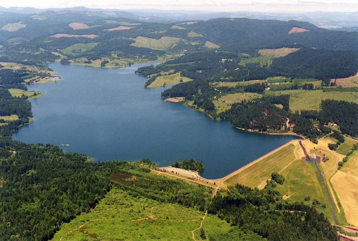 Scoggins CreekCanoeingPhoto: Dave Walsh, United States Bureau of Reclamation, Public domain (via Wikimedia Commons)5.3 mi
 Dairy CreekCanoeingPhoto: M.O. Stevens, CC BY 3.0 (via Wikimedia Commons)5.3 mi
- Clear CreekCanoeing5.9 mi
- Sain CreekCanoeing7.3 mi
Source: Roamze catalog (indexable pages within 10 miles, PostGIS distance)
 Peat Swamp TrailHiking · ~10 min drivePhoto: oregonforestry, CC BY 2.0 (via Flickr)
- Hagg Lake TrailHiking · ~9 min drive
- Clyde's TrailHiking · ~18 min drive
 Madrona TrailHiking · ~10 min drivePhoto: mjfmjfmjf, CC BY 2.0 (via Flickr)
- Banks-Vernonia TrailHiking · ~12 min drive
- Saddle Up TrailHiking · ~20 min drive
- Witches' Butter TrailHiking · ~11 min drivePhoto: mjfmjfmjf, CC BY 2.0 (via Flickr)
- Military TrailHiking · ~20 min drive
 Zorzal TrailHiking · ~12 min drivePhoto: mjfmjfmjf, CC BY 2.0 (via Flickr)
- Gales Creek TrailHiking · ~22 min drive
Also worth it near here
- Raymond Dierickx ReservoirLake fishing · ~9 min drive
- Scoggins CreekCanoeing · ~9 min drivePhoto: Dave Walsh, United States Bureau of Reclamation, Public domain (via Wikimedia Commons)
- Camp IrelandCamping · ~12 min drive
 Bald PeakSummit · ~18 min drivePhoto: M.O. Stevens, CC BY-SA 3.0 (via Wikimedia Commons)
Best time to visit Emerald Necklace Trail
Best months: May–October. Best months have typical highs of 55–85 °F, lows of 30 °F or warmer (32 °F where the station doesn't record snow), at most one snowy day and no more than 12 wet days.
Jan
45° / 33°
19 wet
Feb
49° / 33°
16 wet
Mar
55° / 36°
17 wet
Apr
60° / 39°
15 wet
May
68° / 45°
11 wet
Jun
73° / 50°
8 wet
Jul
81° / 54°
3 wet
Aug
82° / 54°
3 wet
Sep
76° / 49°
6 wet
Oct
63° / 42°
12 wet
Nov
51° / 36°
18 wet
Dec
44° / 33°
20 wet
Typical high / low (°F) and days with rain or snow, 1991–2020. Measured at Forest Grove, OR, 2.1 mi away at 180 ft. This station doesn't record snowfall. Source: NOAA NCEI U.S. Climate Normals 1991–2020.
Map and trail data © OpenStreetMap contributors
