Clear Creek
- 5.1 mi
- distance
- 1,464 ft
- high point
- May–Oct
- best months
Clear Creek is a 5-mile paddling stretch in City Greenspace near Gales Creek, Oregon, on city land. The creek is intermittent and may run dry in some seasons. USGS models an average flow of about 32 cubic feet per second and a gradient of about 245 feet per mile. Summer is the most comfortable time to paddle. Typical averages from a nearby weather station in Forest Grove show July and August highs around 81 to 82°F with only about three wet days a month, while winter months bring highs in the mid-40s and rain on most days. Scoggins Creek, about 4 miles away, is the closest paddling option. For hiking, Clyde's Trail and the Peat Swamp Trail are both within about 6 miles. Gales Creek, roughly 6 miles off, is another paddling route in the area.
Local outfitters
- Adventures Without Limits8 mi away
- Aquatic Sports27 mi away
Not on Roamze yet. Their page has how to reach them.
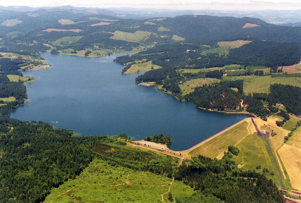 Scoggins CreekCanoeingPhoto: Dave Walsh, United States Bureau of Reclamation, Public domain (via Wikimedia Commons)4.2 mi
- Clyde's TrailHiking4.8 mi
- Military TrailHiking5.5 mi
 Peat Swamp TrailHikingPhoto: oregonforestry, CC BY 2.0 (via Flickr)5.7 mi
- Wilson River Wagon Road TrailHiking5.7 mi
- Sain CreekCanoeing5.8 mi
 Gales CreekCanoeingPhoto: M.O. Stevens, CC BY-SA 3.0 (via Wikimedia Commons)6 mi
- Devils Lake ForkCanoeing7 mi
Source: Roamze catalog (indexable pages within 10 miles, PostGIS distance)
- Scoggins CreekCanoeing · ~7 min drivePhoto: Dave Walsh, United States Bureau of Reclamation, Public domain (via Wikimedia Commons)
- Farmington Paddle LaunchBoat launch · ~29 min drive
- Gales CreekCanoeing · ~10 min drivePhoto: M.O. Stevens, CC BY-SA 3.0 (via Wikimedia Commons)
 Tualatin RiverCanoeing · ~14 min drivePhoto: M.O. Stevens, CC BY-SA 3.0 (via Wikimedia Commons)
 Dairy CreekCanoeing · ~18 min drivePhoto: M.O. Stevens, CC BY 3.0 (via Wikimedia Commons)
 Wilson RiverCanoeing · ~19 min drivePhoto: Finetooth, CC BY-SA 3.0 (via Wikimedia Commons)
 Nehalem RiverCanoeing · ~20 min drivePhoto: User Decumanus on en.wikipedia, CC BY-SA 3.0 (via Wikimedia Commons)
 Salmonberry RiverCanoeing · ~27 min drivePhoto: Cheryl Hill, CC BY-SA 2.0 (via Wikimedia Commons)
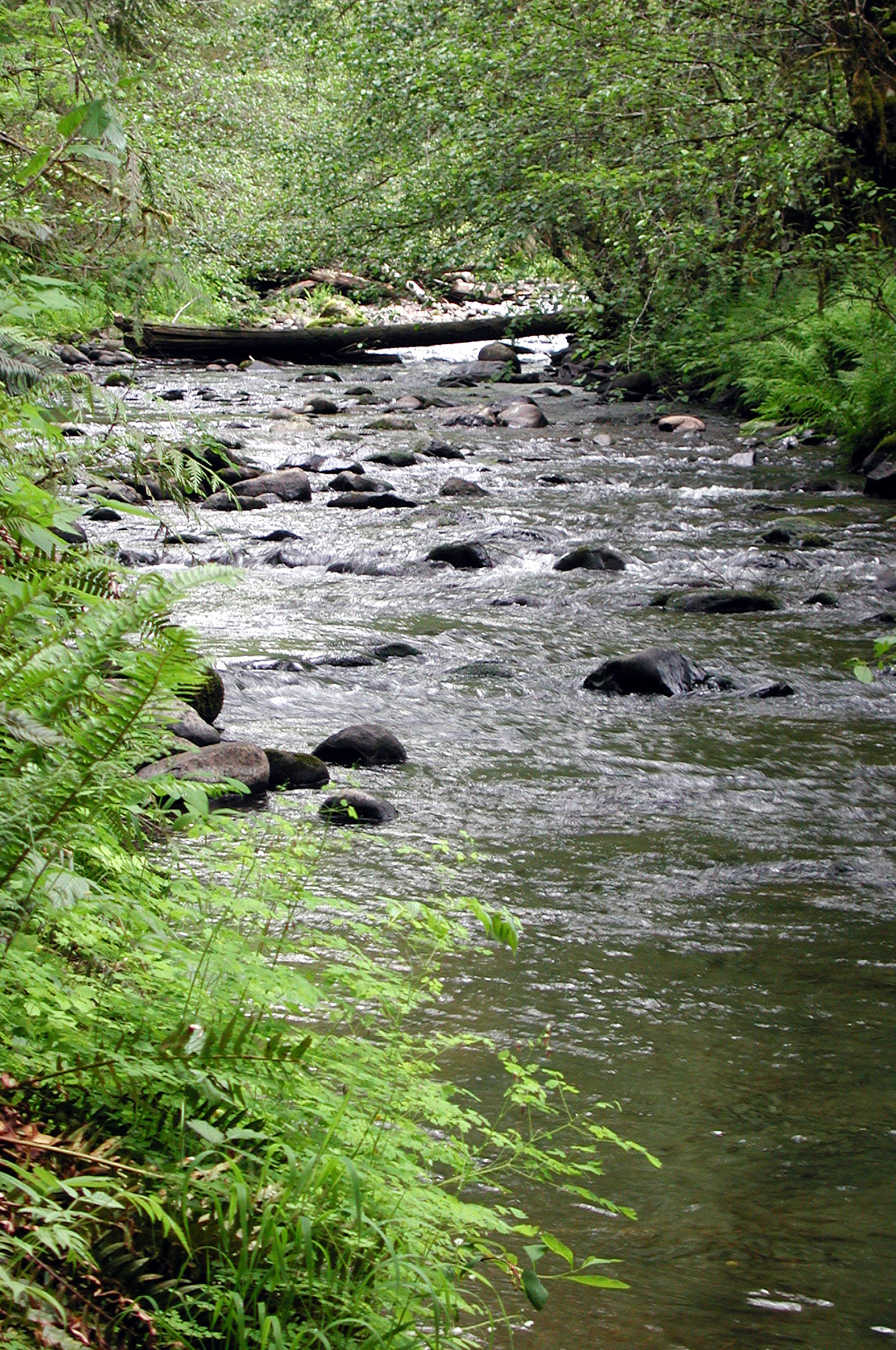 North Yamhill RiverCanoeing · ~29 min drivePhoto: Finetooth, CC BY-SA 3.0 (via Wikimedia Commons)
- Sain CreekCanoeing · ~10 min drive
Also worth it near here
Best time to visit Clear Creek
Best months: May–October. Best months have typical highs of 55–85 °F, lows of 30 °F or warmer (32 °F where the station doesn't record snow), at most one snowy day and no more than 12 wet days.
Jan
45° / 33°
19 wet
Feb
49° / 33°
16 wet
Mar
55° / 36°
17 wet
Apr
60° / 39°
15 wet
May
68° / 45°
11 wet
Jun
73° / 50°
8 wet
Jul
81° / 54°
3 wet
Aug
82° / 54°
3 wet
Sep
76° / 49°
6 wet
Oct
63° / 42°
12 wet
Nov
51° / 36°
18 wet
Dec
44° / 33°
20 wet
Typical high / low (°F) and days with rain or snow, 1991–2020. Measured at Forest Grove, OR, 7.9 mi away at 180 ft. The station sits about 1,300 ft lower than this place, so expect it a little cooler here. This station doesn't record snowfall. Source: NOAA NCEI U.S. Climate Normals 1991–2020.

