B Street Trail
- 0.7 mi
- round trip
- 38 ft
- climb
- 203 ft
- high point
- Out and back
- route
- May–Oct
- best months
B Street Trail is a short, easy out-and-back hike in Oregon, about 0.6 miles from the town of Carnation. The route is roughly 1.5 miles long, with a total elevation gain of about 38 feet, so it's a gentle walk that can be done in about half an hour. The trail is nearly flat, with the steepest stretch at about 0.68 miles in, where the grade reaches about 3%. The high point is around 203 feet, and the low point is about 161 feet. The climb is so slight that it works well as a quick stop or a warm-up before heading to another trail in the area. Summer is the most comfortable time to go. Typical averages from a nearby weather station in Forest Grove show July and August highs around 81 to 82°F with only about three wet days a month, while winter months bring highs in the mid-40s and rain on most days. Nearby options include the Emerald Necklace Trail, about 2.4 miles away, and Thatcher Park Trails, about 2.6 miles away. Madrona Trail is about 3.7 miles off, and paddlers can find Dairy Creek about 4.5 miles away.
Local outfitters
- Adventures Without Limits1 mi away
- Cascadia Wild21 mi away
Not on Roamze yet. Their page has how to reach them.
- Emerald Necklace TrailHiking2.4 mi
- Thatcher Park TrailsHiking2.6 mi
 Madrona TrailHikingPhoto: mjfmjfmjf, CC BY 2.0 (via Flickr)3.7 mi
- Council Creek Homeowners Association TrailsHiking3.8 mi
 Dairy CreekCanoeingPhoto: M.O. Stevens, CC BY 3.0 (via Wikimedia Commons)4.5 mi
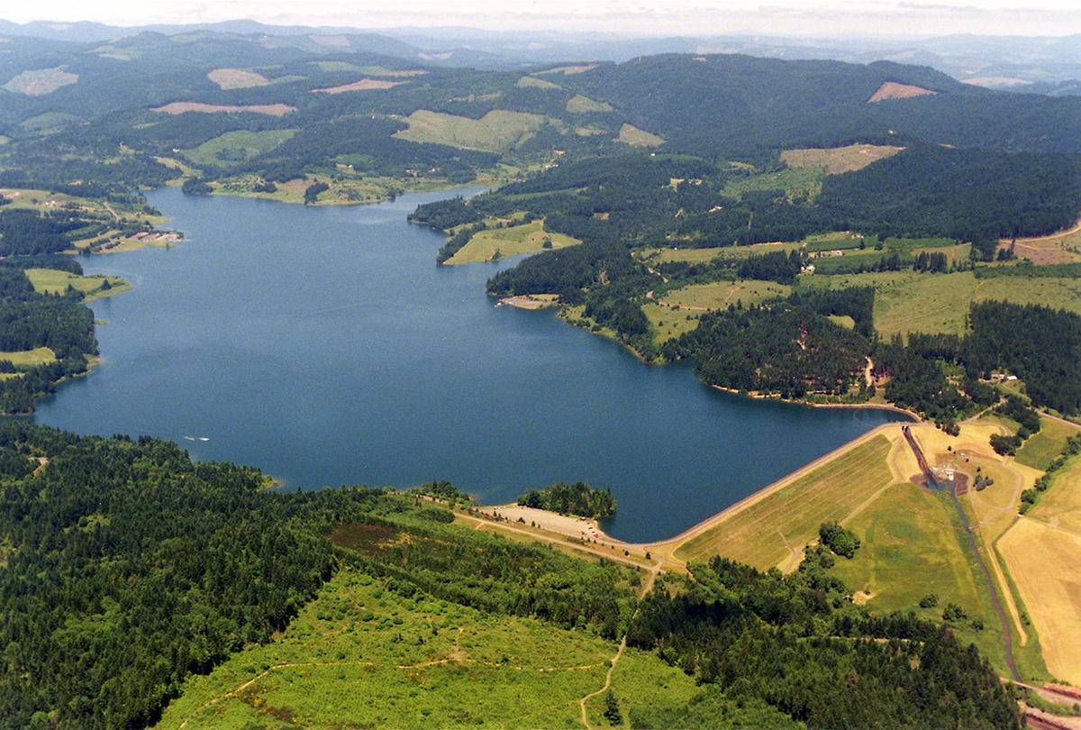 Scoggins CreekCanoeingPhoto: Dave Walsh, United States Bureau of Reclamation, Public domain (via Wikimedia Commons)6.7 mi
- Clear CreekCanoeing8.2 mi
- Sain CreekCanoeing8.4 mi
Source: Roamze catalog (indexable pages within 10 miles, PostGIS distance)
- Madrona TrailHiking · ~6 min drivePhoto: mjfmjfmjf, CC BY 2.0 (via Flickr)
- Hagg Lake TrailHiking · ~10 min drive
- Clyde's TrailHiking · ~22 min drive
- Witches' Butter TrailHiking · ~8 min drivePhoto: mjfmjfmjf, CC BY 2.0 (via Flickr)
- Banks-Vernonia TrailHiking · ~15 min drive
- Saddle Up TrailHiking · ~23 min drive
 Chehalem Ridge TrailHiking · ~8 min drivePhoto: mjfmjfmjf, CC BY 2.0 (via Flickr)
- Military TrailHiking · ~23 min drive
 Zorzal TrailHiking · ~8 min drivePhoto: mjfmjfmjf, CC BY 2.0 (via Flickr)
- Mampaɬ TrailHiking · ~8 min drivePhoto: mjfmjfmjf, CC BY 2.0 (via Flickr)
Best time to visit B Street Trail
Best months: May–October. Best months have typical highs of 55–85 °F, lows of 30 °F or warmer (32 °F where the station doesn't record snow), at most one snowy day and no more than 12 wet days.
Jan
45° / 33°
19 wet
Feb
49° / 33°
16 wet
Mar
55° / 36°
17 wet
Apr
60° / 39°
15 wet
May
68° / 45°
11 wet
Jun
73° / 50°
8 wet
Jul
81° / 54°
3 wet
Aug
82° / 54°
3 wet
Sep
76° / 49°
6 wet
Oct
63° / 42°
12 wet
Nov
51° / 36°
18 wet
Dec
44° / 33°
20 wet
Typical high / low (°F) and days with rain or snow, 1991–2020. Measured at Forest Grove, OR, 1.5 mi away at 180 ft. This station doesn't record snowfall. Source: NOAA NCEI U.S. Climate Normals 1991–2020.

Map and trail data © OpenStreetMap contributors
