Douglas Cabin Trail
- 3.6 mi
- round trip
- 2,427 ft
- climb
- 5,633 ft
- high point
- Out and back
- route
Blocked at last check
This location is inside an active fire perimeter; agency alerts are in effect for this area; weather is good · USFS, nifc_wfigs, OpenWeather · checked 21 h ago
Is Douglas Cabin Trail open right now?
Closure in the area
There's a closure order in Barlow Ranger District. It doesn't name Douglas Cabin Trail, so check the source for the area it covers (2 listed).
Grasshopper Fire Closure
Agency closure covering Barlow Ranger District · Order 06-06-01-26-18 · USFS · Barlow Ranger District
Closure in place for Grasshopper Fire
Agency closure covering Barlow Ranger District · Order 06-06-01-27-01 · USFS · Barlow Ranger District
Tamanawas Falls Trail closed due to instability hazards
Agency alert covering Mt. Hood National Forest · USFS · Mt. Hood National Forest
Eagle Creek Fire Area Closures
Agency alert covering Mt. Hood National Forest · Order 06-22-01-26-04 · USFS · Mt. Hood National Forest
FR 4613 road damage- use caution
Agency alert covering Mt. Hood National Forest · USFS · Mt. Hood National Forest
As of · Source: USFS · Barlow Ranger District. Agencies don't list every closure — check before you go.
Douglas Cabin Trail is a 7.2-mile out-and-back hike in the Barlow Ranger District of Mt. Hood National Forest in Oregon, managed by the Forest Service. The nearest town is Sportsmans Park, about 7.5 miles away. The trail starts at 5,633 feet and climbs to 5,633 feet, making it a loop with equal gain and loss. The total one-way gain is 524 feet, and the round trip adds up to 2,427 feet. The steepest stretch comes early, at about 0.34 miles in, with a 24% grade. The climb is rolling, so the pace stays steady rather than breaking into sharp ascents. Tygh Creek Trail #460 and Divide both lie within a mile of the trail. Fifteen Mile campground is about 2.3 miles away, and the Area 51 climbing area is about 2.6 miles off.
Local outfitters
- Imperial River Company21 mi away
- Bike the Gorge32 mi away
Not on Roamze yet. Their page has how to reach them.
- Tygh Creek Trail #460Hiking0.6 mi
- DivideHiking0.7 mi
- Fifteen MileCamping2.3 mi
- Area 51Rock climbing2.6 mi
- Bulo PointRock climbing3.9 mi
- Badger LakeCamping4.5 mi
- East Fork Hood RiverCanoeing7.6 mi
 White RiverCanoeingPhoto: Cacophony, CC BY-SA 3.0 (via Wikimedia Commons)8.9 mi
Source: Roamze catalog (indexable pages within 10 miles, PostGIS distance)
 Gumjuwac TrailHiking · ~7 min drivePhoto: niiicedave, CC BY-SA 2.0 (via Flickr)
 East ForkHiking · ~9 min drivePhoto: niiicedave, CC BY-SA 2.0 (via Flickr)
- POCKET CREEK NORDICHiking · ~10 min drivePhoto: niiicedave, CC BY-SA 2.0 (via Flickr)
- Little Badger Trail #469Hiking · ~10 min drive
 Divide TrailHiking · ~7 min drivePhoto: niiicedave, CC BY-SA 2.0 (via Flickr)
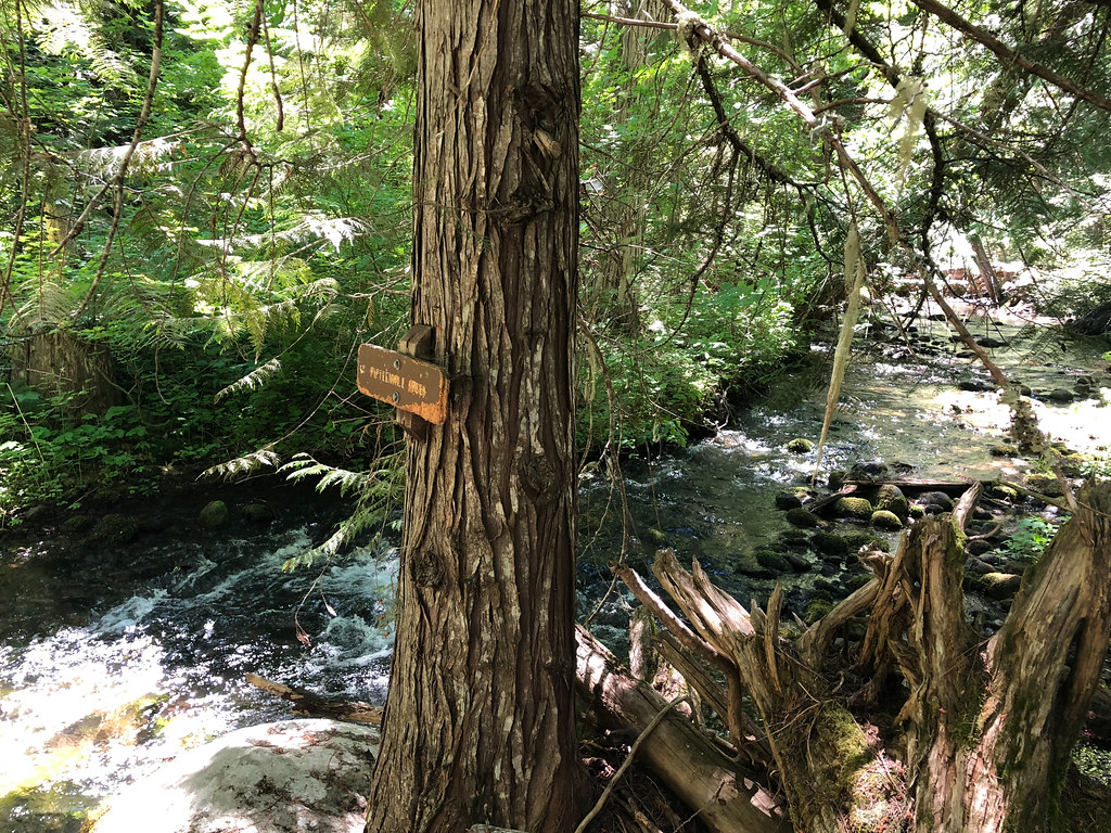 Cedar CreekHiking · ~9 min drivePhoto: Northwest Rafting Company, CC BY 2.0 (via Flickr)
- Gordon Butte Trail #470AHiking · ~1 min drive
- Tygh Creek Trail #460Hiking · ~1 min drive
 Three Mile TrailHiking · ~8 min drivePhoto: U.S. Forest Service- Pacific Northwest Region, Public domain (via Wikimedia Commons)
- Boulder CreekHiking · ~9 min drivePhoto: U.S. Forest Service- Pacific Northwest Region, Public domain (via Wikimedia Commons)
Map and trail data © OpenStreetMap contributors
