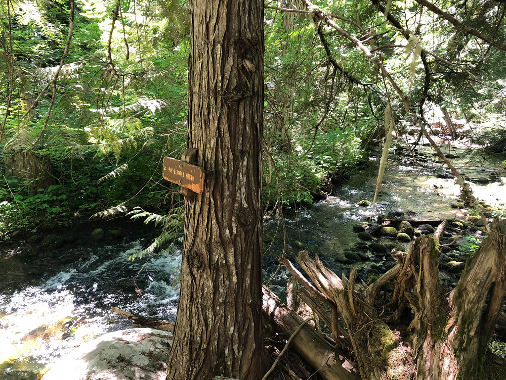
Area 51
- 47 routes
- 5.8 – 5.12c
- Sport · Trad
- Jun–Sep
- best months
Is Area 51 open right now?
Closure in the area
There's a closure order in Barlow Ranger District. It doesn't name Area 51, so check the source for the area it covers.
Closure in place for Grasshopper Fire
Agency closure covering Barlow Ranger District · Order 06-06-01-26-18 · USFS · Barlow Ranger District
Hazard tree felling at Zigzag Ranger Station
Agency alert covering Mt. Hood National Forest · USFS · Mt. Hood National Forest
Eagle Creek Fire Area Closures
Agency alert covering Mt. Hood National Forest · Order 06-22-01-26-04 · USFS · Mt. Hood National Forest
FR 4613 road damage- use caution
Agency alert covering Mt. Hood National Forest · USFS · Mt. Hood National Forest
Crane Creek bridge closed on the Barlow Road
Agency alert covering Mt. Hood National Forest · USFS · Mt. Hood National Forest
As of · Source: USFS · Barlow Ranger District. Agencies don't list every closure — check before you go.
Area 51 is a climbing area in Oregon's Mt. Hood National Forest, within the Barlow Ranger District. The Forest Service manages the land. It sits among several other climbing spots, including Bulo Point and Campfire boulders, within a few miles. The climbing here is a mix of sport and traditional routes, with 47 in total. Sport routes make up 29 and trad 18. The grades range from 5.8 to 5.12c, with the median around 5.10c. A few of the named routes are It Aint Human (5.8 sport), The Eagle Has Landed (5.10a trad), and Death Star (5.12c sport). Summer is the most comfortable time to climb. Typical averages from the nearby Government Camp weather station, at a similar elevation, show July and August highs around 70°F with only about four wet days a month. Winter brings highs in the mid-30s and rain on most days. The Jordan Cutoff Trail starts about a mile away, and the Fifteen Mile campground is under 2 miles off. The Tygh Creek Cut Away hike and the Bulo Point climbing area are also within a few miles.
Best time to go · Jun–Sep
Best time to visit Area 51
Best months: June–September. Best months have typical highs of 55–85 °F, lows of 30 °F or warmer (32 °F where the station doesn't record snow), at most one snowy day and no more than 12 wet days.
Jan
37° / 26°
20 wet
Feb
38° / 26°
17 wet
Mar
41° / 28°
20 wet
Apr
45° / 31°
18 wet
May
54° / 36°
15 wet
Jun
59° / 41°
10 wet
Jul
69° / 48°
4 wet
Aug
70° / 48°
4 wet
Sep
64° / 45°
8 wet
Oct
53° / 37°
13 wet
Nov
42° / 30°
18 wet
Dec
35° / 26°
21 wet
Typical high / low (°F) and days with rain or snow, 1991–2020. Measured at Government Camp, OR, 15.2 mi away at 3,980 ft. This station doesn't record snowfall. Source: NOAA NCEI U.S. Climate Normals 1991–2020.
Routes (47)
Keep exploring — more climbs worth the drive
 Photo: jared goss, CC BY-SA 3.0 (via Wikimedia Commons)
Mt. Hood National Forest
~21 min drive
Mt. Hood National Forest in Oregon has 13 climbing routes with 10 difficulty grades.
 Photo: Stumbling Photographer, CC BY 2.0 (via Flickr)
Wankers Columns
~43 min drive
Wankers Columns in Washington has 15 climbing routes with 12 difficulty grades, offering mixed, sport, and trad styles.
 Photo: Mattsjc, CC BY 4.0 (via Wikimedia Commons)
The Amphitheater
~45 min drive
Amphitheater, Washington climbing area with 13 routes across 10 grades.
Photo: Mattsjc, CC BY 4.0 (via Wikimedia Commons)Main Corridor
~45 min drive
Main Corridor in Washington has 12 climbing routes across 6 grades.
 Photo: Daniel Parks from Berkeley, United States, CC BY 2.0 (via Wikimedia Commons)
Horsethief Butte
~45 min drive
Horsethief Butte is a bouldering crag in Washington with 1 route.
CLIMB
Bulo Point
~4 min drive
Bulo Point in Oregon has 23 climbing routes ranging across 12 difficulty grades, offering sport and trad styles.
CLIMB
Campfire boulders
~5 min drive
Campfire boulders is a 5-route climbing area in Oregon with bouldering pads.
CLIMB
(2) Schoolroom Cracks
~13 min drive
7 routes at Schoolroom Cracks in Oregon span 5 difficulty grades, offering top-rope and trad climbing.
CLIMB
Pete's Pile
~13 min drive
Pete's Pile in Oregon offers 7 traditional climbing routes across 6 difficulty grades.
CLIMB
Quirky Combat Wall
~13 min drive
Quirky Combat Wall in Oregon has 7 traditional climbing routes across 6 grades.