Diamond Peak Tie
- 4.0 mi
- round trip
- 1,033 ft
- climb
- 5,562 ft
- high point
- Out and back
- route
Diamond Peak Tie is a 4-mile out-and-back hike in the Diamond Peak Wilderness, part of the Middle Fork Ranger District of the Willamette National Forest in Oregon. The Forest Service manages the land, and the trail is rated moderate. The route starts at about 5,474 feet and climbs to a high point of 5,562 feet, with a total gain of 1,033 feet over the round trip. The steepest stretch comes at about 1.7 miles in, where the grade reaches 14%. The trail is natural-surfaced and allows horses, but bikes are not permitted. Summer is the most comfortable time to go. Typical averages from a nearby weather station at Odell Lake show July and August highs around 73 to 74°F with only about three wet days a month, while winter brings highs in the mid-30s and regular snow days. Mt. Yoran and the Vivian Lake Trail #3662 both lie within half a mile. Indigo Springs campground is about 7 miles away.
Local outfitters
- Shelter Cove Resort & Marina7 mi away
- Casey's Riverside RV Resort21 mi away
Not on Roamze yet. Their page has how to reach them.
Keep exploring — more trails worth the drive
 Photo: James Wellington, CC BY 2.0 (via Flickr)
VIVIAN LAKE
~5 min drive
1.06-mile out-and-back trail to Vivian Lake in Oregon with 212 ft elevation gain.
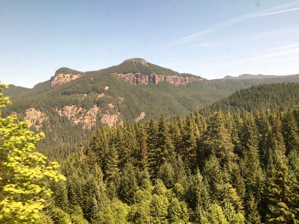 Photo: neverbutterfly, CC BY 2.0 (via Flickr)
Devil's Garden
~6 min drive
2.40-mile out-and-back trail in Oregon with 1,362 ft gain.
 Photo: opiebreath, CC BY 2.0 (via Flickr)
Yoran Lake
~7 min drive
8.02-mile out-and-back trail to Yoran Lake in Oregon with 1,113 ft of descent.
 Photo: lamblukas, CC BY 2.0 (via Flickr)
WHITEFISH CREEK
~11 min drive
21.64-mile out-and-back trail in Oregon with 2,508 ft elevation gain/loss
 Photo: Don Henise, CC BY 2.0 (via Flickr)
Vivian Lake
~5 min drive
Vivian Lake is a 0.60-mile out-and-back trail in Oregon with 34 feet of elevation gain.
 Photo: Forest Service Pacific Northwest Region, Public Domain Mark (via Flickr)
DIAMOND CREEK FALLS
~6 min drive
2.35-mile loop trail with 1,004 ft gain and 980 ft loss at Diamond Creek Falls, Oregon.
 Photo: U.S. Forest Service- Pacific Northwest Region, Public domain (via Wikimedia Commons)
Whitefish Creek Trail
~12 min drive
19.3-mile out-and-back trail in Oregon with 2,152 ft elevation gain and loss.
Photo: Forest Service Pacific Northwest Region, Public Domain Mark (via Flickr)Diamond Creek Falls Trail #3598
~6 min drive
2.39-mile loop with 862 ft gain and 886 ft loss in Oregon.
Photo: Forest Service Pacific Northwest Region, Public Domain Mark (via Flickr)DIAMOND CREEK FALLS LOOP XC
~6 min drive
2.35-mile loop with 1,004 ft gain and 980 ft loss in Oregon.
HIKE
Mt. Yoran
Next door
7.60-mile out-and-back trail to Mt. Yoran in Oregon with 1,773 ft gain.
