Fall Creek Falls
- 4,788 ft
- elevation
- May–Oct
- best months
Is Fall Creek Falls open right now?
Closure in the area
There's a closure order in Middle Fork Ranger District. It doesn't name Fall Creek Falls, so check the source for the area it covers (2 listed).
Cedar Creek Area Closure
Agency closure covering Middle Fork Ranger District · Order 06-18-10-26-04 · USFS · Middle Fork Ranger District
Cedar Creek Fire Closure
Agency closure covering Willamette National Forest · Order 06-18-10-26-04 · USFS · Willamette National Forest
FIRE CLOSURES: Current wildfire closures on the Willamette National Forest
Agency alert covering Willamette National Forest · USFS · Willamette National Forest
2026 Active Wildfire
Agency alert covering Middle Fork Ranger District · USFS · Middle Fork Ranger District
As of · Source: USFS · Middle Fork Ranger District. Agencies don't list every closure — check before you go.
Fall Creek Falls is a waterfall in the Diamond Peak Wilderness, part of the Middle Fork Ranger District of the Willamette National Forest in Oregon. The nearest town is Crescent Lake, about 12 miles away, and the falls sit at roughly 4,800 feet. Summer is the most comfortable time to visit. Typical averages from the nearby Odell Lake weather station show July and August highs in the low 70s with only about three wet days a month, while winter brings highs in the mid-30s and regular snow days. Vivian Lake, a hike about 0.7 miles away, is the closest neighbor. Diamond Creek Falls Trail #3598 and the Diamond Creek Falls Road XC skiing route are both within about a mile and a half, and Gold Lake Campground is about 4.5 miles off for an overnight stay.
- Elevation
- 4,788 ft
Elevation from USGS 3D Elevation Program terrain data (about 10 m resolution).
 VIVIAN LAKEHikingPhoto: James Wellington, CC BY 2.0 (via Flickr)0.7 mi
- Diamond Creek Falls Road XcCross-country skiing1 mi
 Diamond Creek Falls Trail #3598HikingPhoto: Forest Service Pacific Northwest Region, Public Domain Mark (via Flickr)1.3 mi
- Salt CreekCanoeing2.5 mi
- South Fork Salt CreekCanoeing3.8 mi
- Gold Lake CampgroundCamping4.5 mi
 Trapper Creek CampgroundCampingPhoto: Recreation.gov (RIDB) / public domain4.7 mi
 Princess Creek CampgroundCampingPhoto: Recreation.gov (RIDB) / public domain6.5 mi
Source: Roamze catalog (indexable pages within 10 miles, PostGIS distance)
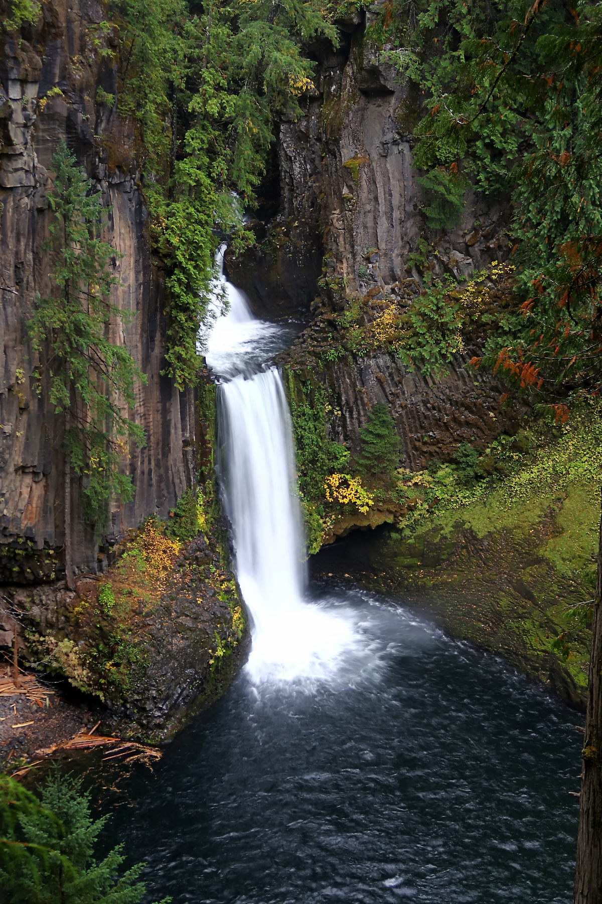 Toketee FallsWaterfall · ~47 min drivePhoto: Alexlockhart, CC BY-SA 4.0 (via Wikimedia Commons)
 Watson FallsWaterfall · ~47 min drivePhoto: Bindi Çapriqi, CC BY-SA 3.0 (via Wikimedia Commons)
 Yakso FallsWaterfall · ~1h 6m drivePhoto: Donaleen, CC BY 2.0 (via Wikimedia Commons)
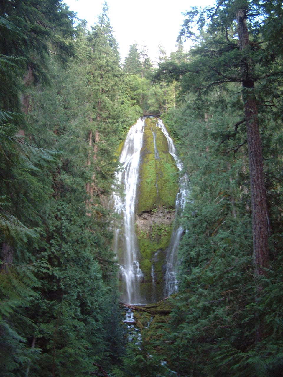 Proxy FallsWaterfall · ~1h 10m drivePhoto: Ljmajer, Public domain (via Wikimedia Commons)
- Diamond Creek FallsWaterfall · ~2 min drive
- Salt Creek FallsWaterfall · ~28 min drive
- Salmon FallsWaterfall · ~28 min drive
- Lemolo FallsWaterfall · ~30 min drive
- Upper Parker FallsWaterfall · ~40 min drive
- Grouse Mountain FallsWaterfall · ~41 min drive
Best time to visit Fall Creek Falls
Best months: May–October. Best months have typical highs of 55–85 °F, lows of 30 °F or warmer (32 °F where the station doesn't record snow), at most one snowy day and no more than 12 wet days.
Jan
35° / 20°
14 wet · 10 snow
Feb
38° / 21°
13 wet · 9 snow
Mar
42° / 24°
14 wet · 8 snow
Apr
46° / 28°
11 wet · 4 snow
May
55° / 34°
9 wet · 1 snow
Jun
63° / 38°
6 wet
Jul
73° / 44°
3 wet
Aug
74° / 42°
3 wet
Sep
68° / 36°
5 wet
Oct
55° / 30°
9 wet · 1 snow
Nov
41° / 26°
14 wet · 6 snow
Dec
34° / 20°
15 wet · 10 snow
Typical high / low (°F) and days with rain or snow, 1991–2020. Measured at Odell Lake-East, OR, 9.3 mi away at 4,800 ft. Source: NOAA NCEI U.S. Climate Normals 1991–2020.
