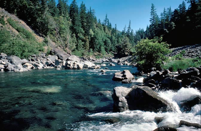
Emily Cabin
 Photo: U.S. Forest Service- Pacific Northwest Region, Public domain (via Wikimedia Commons)
- 9.0 mi
- round trip
- 5,383 ft
- climb
- 4,395 ft
- high point
- Out and back
- route
Is Emily Cabin open right now?
Closure in the area
There's a closure order in Wild Rivers Ranger District. It doesn't name Emily Cabin, so check the source for the area it covers.
Illinois Falls Trail Bridge Closure
Agency closure covering Wild Rivers Ranger District · Order 06-10-22-25-02 · USFS · Wild Rivers Ranger District
Illinois River Road Seasonal Restrictions
Agency alert covering Wild Rivers Ranger District · Order 06-10-22-26-01 · USFS · Wild Rivers Ranger District
As of · Source: USFS · Wild Rivers Ranger District. Agencies don't list every closure — check before you go.
Emily Cabin is a hike in Oregon's Kalmiopsis Wilderness, part of the Wild Rivers Ranger District of the Rogue River-Siskiyou National Forests. The Forest Service manages the land, and the trail is about 9 miles long, rising from a low of about 2,250 feet to a high of about 4,400 feet with a total gain of about 5,380 feet. The trip is an out-and-back, and the climb is rated hard. The route is a natural-surface trail. Horses are allowed, but bikes are not, and the trail is not accessible. The steepest stretch comes at about 4 miles in, where the grade reaches about 26 percent. The closest neighbors are Babyfoot Lake Rim, about a mile away, and Bailey Cabin and Babyfoot Lake, both within 2 miles. Paddlers can reach the Chetco River about 4 miles off, and Echo Beach Campground is about 7 miles away for an overnight base.
Local outfitters
- John Carl Guide Service27 mi away
- Applegate Trail Rides28 mi away
Not on Roamze yet. Their page has how to reach them.
Keep exploring — more trails worth the drive
Photo: U.S. Forest Service- Pacific Northwest Region, Public domain (via Wikimedia Commons)Babyfoot Lake Rim
~2 min drive
3.44-mile out-and-back trail at Babyfoot Lake Rim in Oregon.
Photo: U.S. Forest Service- Pacific Northwest Region, Public domain (via Wikimedia Commons)Babyfoot Lake
~3 min drive
1.66-mile out-and-back trail to Babyfoot Lake in Oregon with 456 ft gain.
 Photo: Northwest Rafting Company, CC BY 2.0 (via Flickr)
Upper Chetco Trail
~11 min drive
34.14-mile out-and-back trail in Oregon with 11,678 ft elevation gain/loss.
 Photo: james shaw, CC BY-SA 3.0 (via Wikimedia Commons)
Fall Creek
~12 min drive
6.88-mile out-and-back trail in Oregon with 2,334 ft gain.
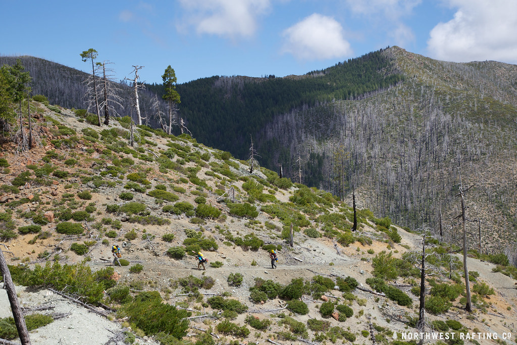 Photo: Northwest Rafting Company, CC BY 2.0 (via Flickr)
Bailey Cabin
~2 min drive
4-mile out-and-back trail to Bailey Cabin in Oregon with 1,020 ft elevation gain
 Photo: aspidoscelis, Public Domain Dedication (CC0) (via Flickr)
Little Illinois Falls Loop Trail
~13 min drive
0.66-mile loop with 184 ft gain and 214 ft loss at 1359 ft max elevation
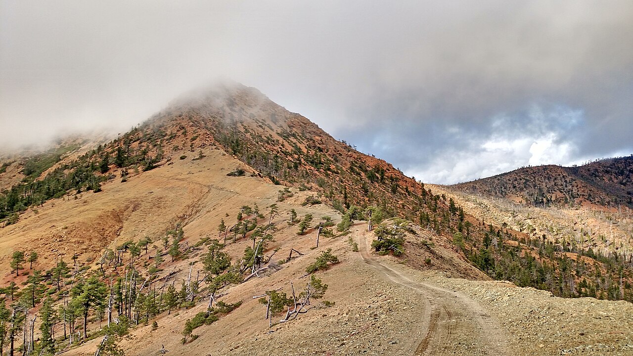
 Photo: U.S. Forest Service- Pacific Northwest Region, Public domain (via Wikimedia Commons)
Red Mountain
~15 min drive
7.10-mile out-and-back trail in Oregon with 4,288 ft gain and 6,073 ft loss.
 Photo: Northwest Rafting Company, CC BY 2.0 (via Flickr)
Buckskin Peak
~13 min drive
12.94-mile out-and-back trail to Buckskin Peak in Oregon with 2,272 ft gain.
 Photo: Forest Service Pacific Northwest Region, Public Domain Mark (via Flickr)
Gardner Mine
~14 min drive
5-mile out-and-back trail at Gardner Mine in Oregon with 765 ft gain.
 Photo: james shaw, CC BY-SA 3.0 (via Wikimedia Commons)
Deep Gorge Trail
~14 min drive
1.38-mile out-and-back trail in Oregon with 627 ft gain/loss.