Devils Flat Guard Station
Campground
Campground · < 0.1 mi from the trail
Alert in the area
The Forest Service lists 5 alerts for Umpqua National Forest.
Fall Prescribed Burning
Agency alert covering Umpqua National Forest · USFS · Umpqua National Forest
Poole Creek Campground Closed for the 2026 Season
Agency alert covering Umpqua National Forest · USFS · Umpqua National Forest
Buckeye Bridge and National Forest Service Road 29
Agency alert covering Tiller Ranger District · USFS · Tiller Ranger District
National Forest Service Road 28 Roadwork
Agency alert covering Umpqua National Forest · USFS · Umpqua National Forest
Blue-Green Algae Precaution for Diamond and Lemolo Lakes
Agency alert covering Umpqua National Forest · USFS · Umpqua National Forest
As of · Source: USFS · Umpqua National Forest. Agencies don't list every closure — check before you go.
Cow Creek Falls is a short, easy out-and-back hike in the Tiller Ranger District of Oregon's Umpqua National Forest, managed by the Forest Service. The trail is about 0.4 miles long, with a total elevation gain of 77 feet, and it reaches a high point of 2,253 feet. The route is flat, with the steepest stretch at about 0.06 miles in, and it is accessible to hikers and riders alike. The most comfortable months for a visit are typically late spring and early fall. Typical averages from the Lost Creek Dam weather station, about 20 miles away, show May highs around 72°F and September highs around 84°F, while July and August average about 90°F. That station sits roughly 670 feet lower than the falls, so temperatures on the trail run cooler. The hike is open year-round, and the trip takes about half an hour. Devils Flat Campground is just 0.1 mile away, and the Devil's Flat hike is about 3.5 miles off. Paddlers can head to Stouts Creek, about 5 miles away, and climbers will find Valhalla about 7 miles out.
Devils Flat Guard Station
Campground
Academy Cafeteria
Fast food
South Umpqua Historical Society
Museum
Places © OpenStreetMap contributors
More in Myrtle CreekNot on Roamze yet. Their page has how to reach them.
Best months: May–June and September–October. Best months have typical highs of 55–85 °F, lows of 30 °F or warmer (32 °F where the station doesn't record snow), at most one snowy day and no more than 12 wet days.
Jan
49° / 31°
17 wet
Feb
54° / 31°
14 wet
Mar
59° / 34°
16 wet
Apr
63° / 37°
14 wet
May
72° / 43°
10 wet
Jun
80° / 47°
6 wet
Jul
90° / 52°
3 wet
Aug
90° / 51°
2 wet
Sep
84° / 45°
4 wet
Oct
70° / 38°
9 wet
Nov
55° / 34°
15 wet
Dec
47° / 31°
18 wet
Typical high / low (°F) and days with rain or snow, 1991–2020. Measured at Lost Creek Dam, OR, 20.5 mi away at 1,580 ft. The station sits about 700 ft lower than this place, so expect it a little cooler here. Source: NOAA NCEI U.S. Climate Normals 1991–2020.
 Photo: Pussreboots, CC BY 2.0 (via Flickr)
London Peak Accessible Trail
~37 min drive
0.96-mile out-and-back hike to London Peak in Oregon with 311 ft of elevation gain
 Photo: Little Mountain 5, CC BY-SA 3.0 (via Wikimedia Commons)
Upper Rogue River Trail
~47 min drive
45.00-mile point-to-point trail in Oregon with 4,104 ft elevation gain.
 Photo: GSEC, CC BY 2.0 (via Flickr)
Breakdown Trail
~48 min drive
2.08-mile out-and-back trail in Oregon with 1,724 ft gain/loss
HIKE
Devil's Flat
~6 min drive
10.60-mile out-and-back trail in Oregon with 1,592 ft gain.
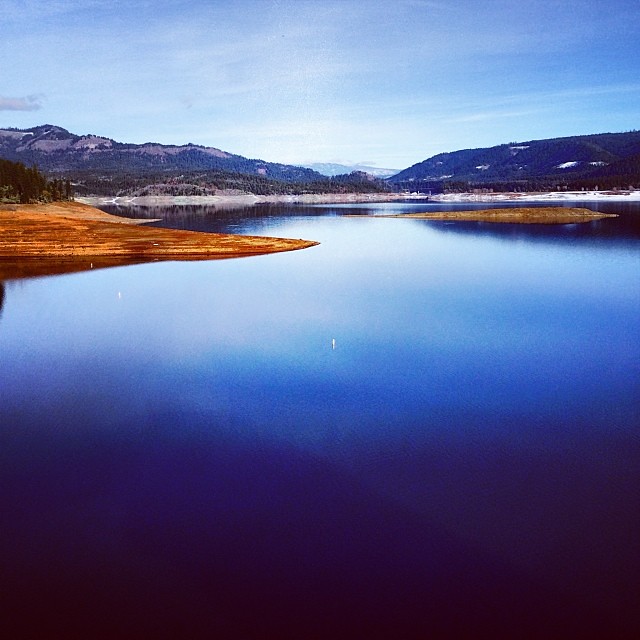 Photo: Robert Glen Fogarty, CC BY 2.0 (via Flickr)
Lost Lake Edge Trail
~39 min drive
1.92-mile out-and-back trail with 652 ft gain and 2,104 ft max elevation.
HIKE
BEAVER CREEK
~24 min drive
12.78-mile out-and-back trail in Oregon with 5,054 ft elevation gain and loss.
Photo: GSEC, CC BY 2.0 (via Flickr)Pay Dirt Trail
~48 min drive
2.36-mile out-and-back trail in Oregon with 1,199 ft elevation gain
HIKE
King Mountain Truck Trail
~27 min drive
4.34-mile out-and-back trail in Oregon with 3,048 ft elevation gain and loss.
 Photo: Forest Service Pacific Northwest Region, Public Domain Mark (via Flickr)
Shadow Falls
~41 min drive
1.20-mile out-and-back trail in Oregon with 133 ft gain and 305 ft loss.
HIKE
Rogue River Trail
~37 min drive
19.2-mile out-and-back trail in Oregon with 3,965 ft elevation gain/loss.
