Clover Creek
- 8.6 mi
- round trip
- 1,617 ft
- climb
- 7,125 ft
- high point
- Out and back
- route
Is Clover Creek open right now?
No closures listed
The Forest Service lists no closures for Fremont-Winema National Forest.
As of · Source: USFS · Fremont-Winema National Forest. Agencies don't list every closure — check before you go.
Clover Creek is a hard hike in the Klamath Ranger District of Oregon's Fremont-Winema National Forest, about 8.6 miles long with a total elevation gain of 1,617 feet. The trail is an out-and-back, and the climb is front-loaded, with the steepest stretch at about 0.76 miles in, where the grade reaches 19 percent. The high point is 7,125 feet, and the trailhead sits at about 5,800 feet. The route is natural-surface and not accessible. Horses are allowed, but bikes are not. The Forest Service manages the land, and the trail is open year-round. Plan for about 3.5 hours on the trail. Nearby, Buck Peak is about a mile away, and the Mountain Lakes Loop Trail and South Pass Lake are both within 3 miles. For an overnight stay, Sunset - Lake of the Woods (OR) is about 5.9 miles off.
Local outfitters
- Yamsi Fly Fishing19 mi away
- Crater Lake Zipline and Kayak Tours19 mi away
Not on Roamze yet. Their page has how to reach them.
Keep exploring — more trails worth the drive
 Photo: U.S. Forest Service- Pacific Northwest Region, Public domain (via Wikimedia Commons)
South Pass Lake
~5 min drive
3.80-mile out-and-back trail to South Pass Lake in Oregon with 59 feet of elevation gain.
 Photo: james shaw, CC BY-SA 3.0 (via Wikimedia Commons)
Campground Shorefront Trail
~11 min drive
2.12-mile out-and-back trail in Oregon with 375 ft elevation gain
 Photo: james shaw, CC BY-SA 3.0 (via Wikimedia Commons)
EAST FOURMILE LAKE
~13 min drive
10.22-mile out-and-back trail to East Fourmile Lake in Oregon with 1,683 ft gain
HIKE
HYATT-LAKE OF WOODS SNOMO
~16 min drive
27.04-mile out-and-back trail in Oregon with 3,083 ft elevation gain and loss.
Photo: james shaw, CC BY-SA 3.0 (via Wikimedia Commons)Sunset Cg
~10 min drive
3.60-mile out-and-back trail in Oregon with 295 ft elevation gain.
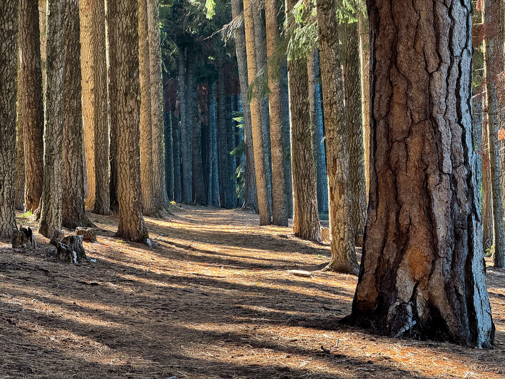 Photo: Holzwerk, CC BY 2.0 (via Flickr)
Billie Creek Nature
~12 min drive
Billie Creek Nature is a 1.20-mile out-and-back trail in Oregon with 124 ft of elevation gain.
 Photo: james shaw, CC BY-SA 3.0 (via Wikimedia Commons)
VARNEY CREEK SNOMO
~13 min drive
11.94-mile out-and-back trail in Oregon with 1,666 ft elevation gain and loss.
Photo: james shaw, CC BY-SA 3.0 (via Wikimedia Commons)Mountain Lakes
~10 min drive
3.20-mile out-and-back trail to Mountain Lakes in Oregon with 602 ft gain.
Photo: james shaw, CC BY-SA 3.0 (via Wikimedia Commons)High Lakes Trail #6200
~12 min drive
1.16-mile out-and-back trail in Oregon with 160 ft of elevation gain.
Photo: Holzwerk, CC BY 2.0 (via Flickr)High Lakes Bike Trail
~13 min drive
6.70-mile out-and-back bike trail in Oregon with 698 ft elevation gain.
