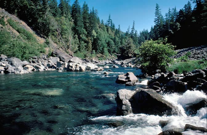
Little Vulcan Lake
 Photo: Forest Service Pacific Northwest Region, Public Domain Mark (via Flickr)
- 0.4 mi
- round trip
- 362 ft
- climb
- 3,957 ft
- high point
- Out and back
- route
Is Little Vulcan Lake open right now?
No closures listed
The Forest Service lists no closures for Rogue River-Siskiyou National Forests.
As of · Source: USFS · Rogue River-Siskiyou National Forests. Agencies don't list every closure — check before you go.
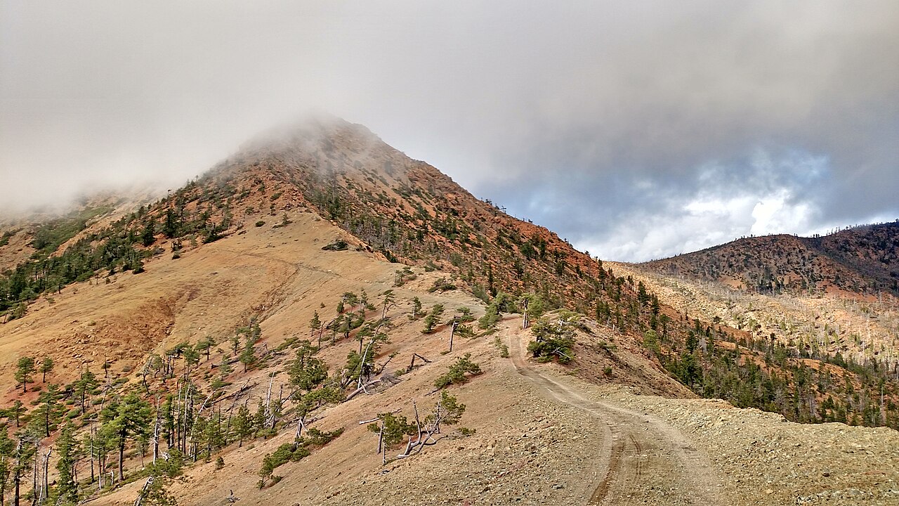
Little Vulcan Lake is an easy, out-and-back hike of about 0.4 miles in Oregon's Kalmiopsis Wilderness, on the Gold Beach Ranger District of the Rogue River-Siskiyou National Forests. The trail climbs roughly 177 feet from its low point of 3,762 feet to a high point of 3,957 feet, and the Forest Service manages the land here. The route is short and gentle, with a total climb of about 362 feet for the round trip. The steepest stretch comes early on, about 0.09 miles from the start, where the grade reaches 22%. The trail is natural-surfaced, and horses are allowed. Bikes are not, and the trail is not accessible. The hike is open year-round and takes about half an hour. Two other hikes, Vulcan Lake and Gardner Mine Loop, sit about half a mile away, and Gardner Mine is within 0.7 miles. Farther afield, the South Fork Chetco River offers canoeing about 3.6 miles off.
Local outfitters
- John Carl Guide Service26 mi away
- Turtle Rock RV Resort26 mi away
Not on Roamze yet. Their page has how to reach them.
Keep exploring — more trails worth the drive
 Photo: U.S. Forest Service- Pacific Northwest Region, Public domain (via Wikimedia Commons)
Gardner Mine Loop
Next door
1.40-mile out-and-back trail in Oregon with 383 ft gain.
Photo: Forest Service Pacific Northwest Region, Public Domain Mark (via Flickr)Gardner Mine
~1 min drive
5-mile out-and-back trail at Gardner Mine in Oregon with 765 ft gain.
Photo: Forest Service Pacific Northwest Region, Public Domain Mark (via Flickr)Chetco Divide
~1 min drive
19.20-mile out-and-back trail in Oregon with 2,064 ft gain.
Photo: U.S. Forest Service- Pacific Northwest Region, Public domain (via Wikimedia Commons)Red Mountain
~3 min drive
7.10-mile out-and-back trail in Oregon with 4,288 ft gain and 6,073 ft loss.
 Photo: U.S. Forest Service- Pacific Northwest Region, Public domain (via Wikimedia Commons)
Babyfoot Lake
~16 min drive
1.66-mile out-and-back trail to Babyfoot Lake in Oregon with 456 ft gain.
Photo: Forest Service Pacific Northwest Region, Public Domain Mark (via Flickr)Vulcan Peak
~1 min drive
2.00-mile out-and-back trail to Vulcan Peak in Oregon with 954 ft elevation gain.
Photo: U.S. Forest Service- Pacific Northwest Region, Public domain (via Wikimedia Commons)Emily Cabin
~15 min drive
9.00-mile out-and-back trail to Emily Cabin in Oregon with 1,119 ft gain.
 Photo: Northwest Rafting Company, CC BY 2.0 (via Flickr)
Upper Chetco Trail
~11 min drive
34.14-mile out-and-back trail in Oregon with 11,678 ft elevation gain/loss.
 Photo: Rick Obst, CC BY 2.0 (via Flickr)
Riverview Nature Trail
~20 min drive
1.32-mile out-and-back trail in Oregon with 859 ft elevation gain
 Photo: Northwest Rafting Company, CC BY 2.0 (via Flickr)
Sourdough
~19 min drive
1.60-mile out-and-back trail in Oregon with 644 ft elevation loss.