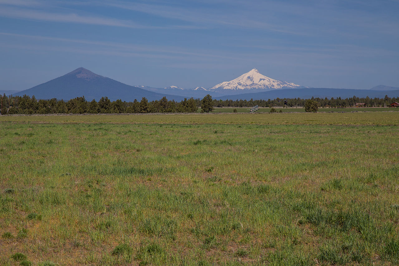
Indian Ford Campground
Campground
Campground · 3.1 mi from the trail
Closure in the area
There's a closure order in Deschutes National Forest. It doesn't name Black Butte, so check the source for the area it covers.
West Bend Area Trail Closures
Agency closure covering Deschutes National Forest · USFS · Deschutes National Forest
Camping & Campfire Restrictions Forest Order
Agency alert covering Deschutes National Forest · Order 06-01-26-01 · USFS · Deschutes National Forest
Cave Resource Protection Forest Order
Agency alert covering Deschutes National Forest · Order 06-01-26-02 · USFS · Deschutes National Forest
Deschutes 14-Day Camping Order
Agency alert covering Deschutes National Forest · Order 06-01-25-01 · USFS · Deschutes National Forest
Wilderness Permit, Camping & Fire Restrictions Order
Agency alert covering Deschutes National Forest · Order 06-01-24-01 · USFS · Deschutes National Forest
As of · Source: USFS · Deschutes National Forest. Agencies don't list every closure — check before you go.
Black Butte is a moderate hike of about 4 miles in the Sisters Ranger District of Deschutes National Forest in Oregon, on land managed by the Forest Service. The trail is an out-and-back with a rolling climb to a high point of about 6,440 feet, and it gains roughly 1,941 feet over the course of the trip, making the total round-trip gain about 1,941 feet. The trailhead is called Black Butte T.H Trailhead. The trail starts at an elevation of about 4,875 feet, and the steepest part comes at about mile 1, where the grade reaches about 26 percent. Horses are allowed, and the surface is natural. The trail is open from about June through October. Plan on about 2.5 hours for the round trip. Lower Butte Loops and the Sisters Tie Trail both lie about a mile away, and Upper Butte Loops is about 1.7 miles off. Indian Ford Campground is about 3 miles away.
Indian Ford Campground
Campground
Kiwanis club
Attraction
Places © OpenStreetMap contributors
More in SistersNot on Roamze yet. Their page has how to reach them.
 Photo: Don Graham from Redlands, CA, USA - God bless it!, CC BY-SA 2.0 (via Wikimedia Commons)
Lower Butte Loops
~1 min drive
7.60-mile out-and-back trail in Oregon with 1,070 ft gain.
Photo: Don Graham from Redlands, CA, USA - God bless it!, CC BY-SA 2.0 (via Wikimedia Commons)Nature Trail
~3 min drive
1.04-mile out-and-back trail in Oregon with 6 ft elevation gain/loss
 Photo: mdornseif, CC BY-SA 2.0 (via Flickr)
Suttle Lake Loop
~8 min drive
3.14-mile out-and-back trail at Suttle Lake in Oregon with 413 ft gain.
HIKE
Upper Butte Link
~3 min drive
0.68-mile out-and-back trail in Oregon with 149 ft of elevation gain.
 Photo: Art Anderson, CC BY-SA 3.0 (via Wikimedia Commons)
Upper Butte Loops
~3 min drive
18.53-mile out-and-back trail in Oregon with 1,559 ft gain.
Photo: Art Anderson, CC BY-SA 3.0 (via Wikimedia Commons)Black Butte Trail #4026
~4 min drive
1.2-mile out-and-back trail in Oregon with 203 ft gain.
HIKE
Sisters Tie Trail
~2 min drive
19.14-mile out-and-back trail in Oregon with 392 ft elevation gain.
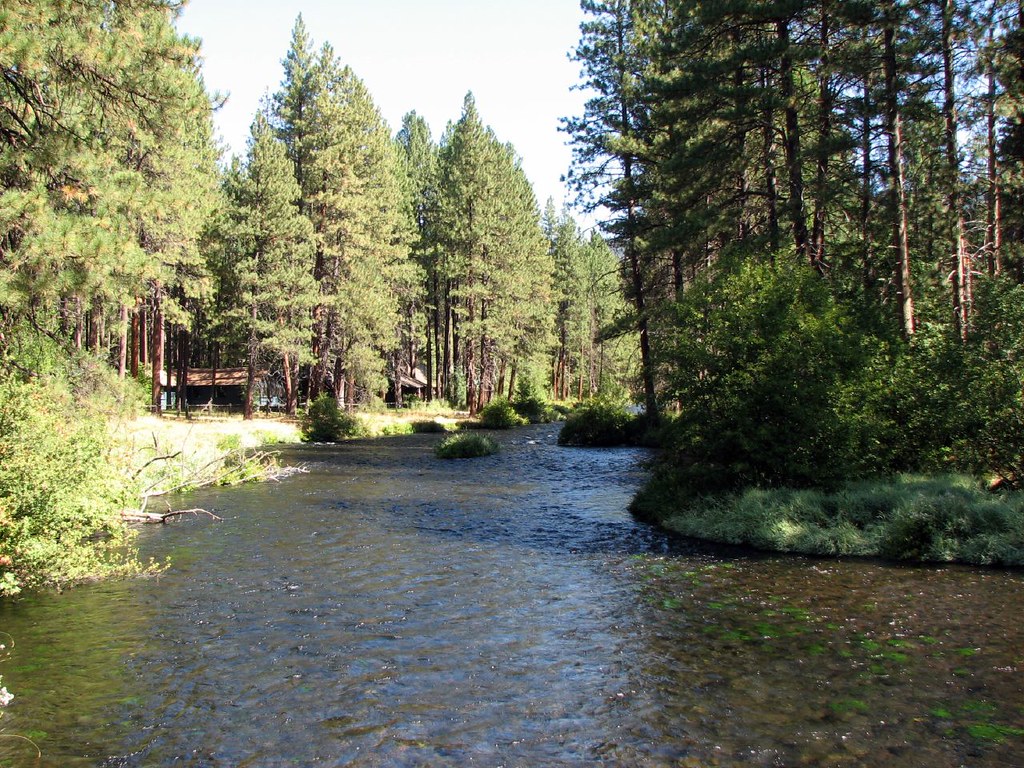 Photo: DBerry2006, CC BY 2.0 (via Flickr)
West Metolius River Trail
~8 min drive
Scenic out-and-back following the pristine Metolius River through Cascade forest.
 Photo: inkknife_2000 (7.5 million views +), CC BY-SA 2.0 (via Wikimedia Commons)
Lower Butte Loop #4093
~5 min drive
2.5-mile out-and-back trail in Oregon with 304 ft elevation gain
HIKE
Camp Sherman "H"
~6 min drive
3.52-mile out-and-back trail with 158 ft gain and 262 ft loss.
About 4.1 mi round trip from Black Butte T.H Trailhead (about 4,849 ft).
About 1,941 ft of climbing round trip.
It is rated moderate.
Black Butte T.H Trailhead (about 4,849 ft).
About 2.5 hours round trip.
Daily highs and lows, wind and the chance of precipitation at the summit and route start for the next 7 days, from the Open-Meteo model.