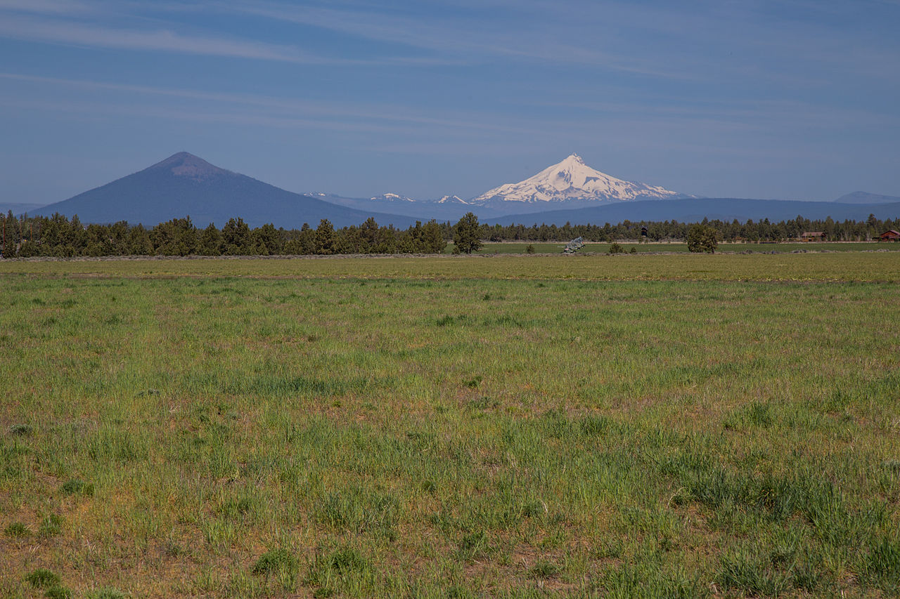
Riverside
Campground
Campground · 1.5 mi from the trail
 Photo: Art Anderson, CC BY-SA 3.0 (via Wikimedia Commons)
Closure in the area
There's a closure order in Deschutes National Forest. It doesn't name Black Butte Trail #4026, so check the source for the area it covers.
West Bend Area Trail Closures
Agency closure covering Deschutes National Forest · USFS · Deschutes National Forest
Camping & Campfire Restrictions Forest Order
Agency alert covering Deschutes National Forest · Order 06-01-26-01 · USFS · Deschutes National Forest
Cave Resource Protection Forest Order
Agency alert covering Deschutes National Forest · Order 06-01-26-02 · USFS · Deschutes National Forest
Deschutes 14-Day Camping Order
Agency alert covering Deschutes National Forest · Order 06-01-25-01 · USFS · Deschutes National Forest
Wilderness Permit, Camping & Fire Restrictions Order
Agency alert covering Deschutes National Forest · Order 06-01-24-01 · USFS · Deschutes National Forest
As of · Source: USFS · Deschutes National Forest. Agencies don't list every closure — check before you go.
Black Butte Trail #4026 is a short, easy hike in the Sisters Ranger District of Deschutes National Forest in Oregon, managed by the Forest Service. The trail is about 0.6 miles from the Sisters Ranger District's boundaries, and the nearest town is Sisters, about 11 miles away. The route is an out-and-back that starts and ends at about 3,040 feet. It climbs to about 3,220 feet, with a total gain of 203 feet, and the steepest stretch comes at about 0.55 miles in, where the grade reaches 10%. The whole trip is roughly 1.2 miles long. Summer is the most comfortable time to go. Typical averages from a nearby weather station in Sisters show July highs around 86°F with lows near 43°F, while September cools to highs around 76°F. Several other trails sit close by. Upper Butte Loops is about 0.7 miles away, Camp Sherman "H" is about a mile off, and the West Metolius River Trail is about 1.2 miles away. Riverside Campground is about 1.5 miles from the trail.
Riverside
Campground
Kiwanis club
Attraction
Places © OpenStreetMap contributors, Places © Overture Maps Foundation
More in SistersNot on Roamze yet. Their page has how to reach them.
Upper Butte LoopsHikingPhoto: Art Anderson, CC BY-SA 3.0 (via Wikimedia Commons)0.7 mi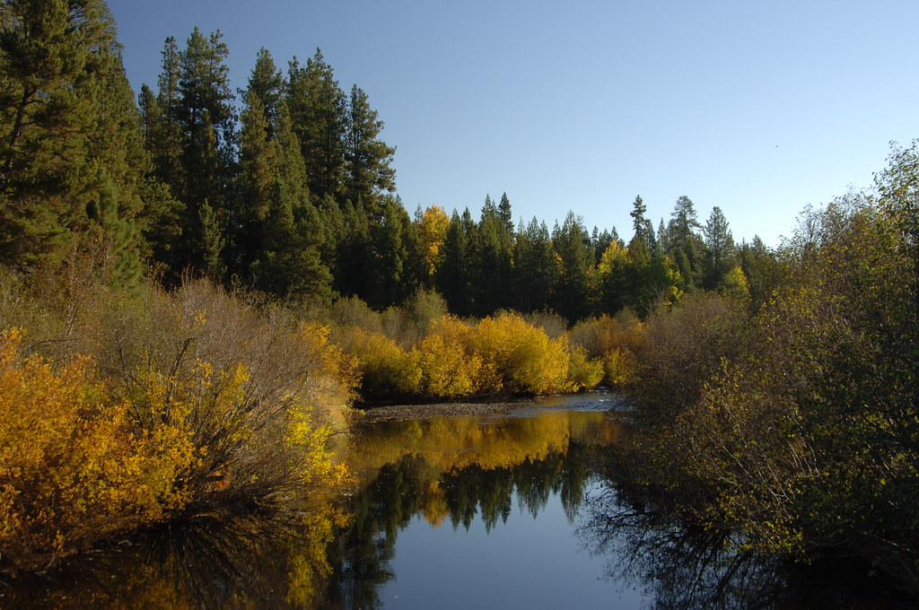 West Metolius River TrailHikingPhoto: Forest Service Pacific Northwest Region, Public Domain Mark (via Flickr)1.2 mi
 Riverside Campground (Deschutes National Forest, OR)CampingPhoto: Recreation.gov (RIDB) / public domain2 mi
Source: Roamze catalog (indexable pages within 10 miles, PostGIS distance)
Upper Butte LoopsHiking · ~1 min drivePhoto: Art Anderson, CC BY-SA 3.0 (via Wikimedia Commons)West Metolius River TrailHiking · ~2 min drivePhoto: Forest Service Pacific Northwest Region, Public Domain Mark (via Flickr) Suttle Lake LoopHiking · ~6 min drivePhoto: mdornseif, CC BY-SA 2.0 (via Flickr)East Metolius River TrailHiking · ~2 min drivePhoto: Art Anderson, CC BY-SA 3.0 (via Wikimedia Commons)
 Larch TrailsHiking · ~2 min drivePhoto: dogplusplus, CC BY 2.0 (via Flickr)
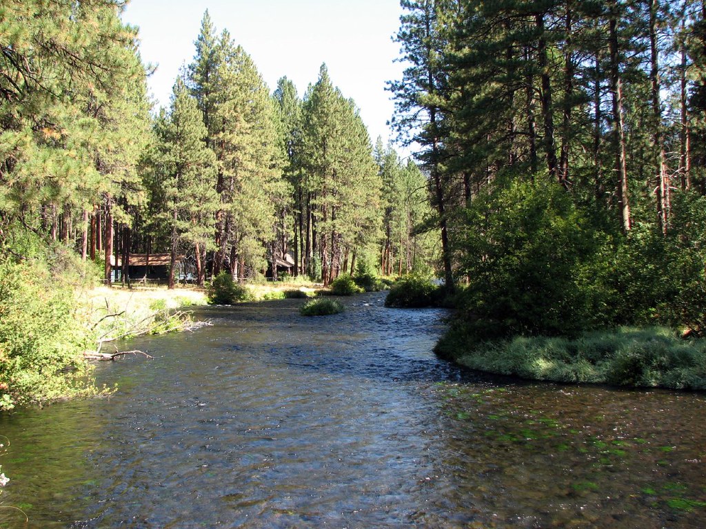 West Metolius River TrailHiking · ~4 min drivePhoto: DBerry2006, CC BY 2.0 (via Flickr)
 Nature TrailHiking · ~7 min drivePhoto: Don Graham from Redlands, CA, USA - God bless it!, CC BY-SA 2.0 (via Wikimedia Commons)
Best months: May–June and August–September. Best months have typical highs of 55–85 °F, lows of 30 °F or warmer (32 °F where the station doesn't record snow), at most one snowy day and no more than 12 wet days.
Jan
41° / 21°
Feb
44° / 22°
Mar
51° / 25°
Apr
57° / 29°
May
66° / 34°
Jun
74° / 39°
Jul
86° / 43°
Aug
85° / 42°
Sep
76° / 36°
Oct
61° / 29°
Nov
47° / 25°
Dec
39° / 20°
Typical high / low (°F) and days with rain or snow, 1991–2020. Measured at Sisters, OR, 11.3 mi away at 3,180 ft. This station doesn't record snowfall. Source: NOAA NCEI U.S. Climate Normals 1991–2020.
Map and trail data © OpenStreetMap contributors