Bald Crater Loop Trail
- 6.7 mi
- round trip
- 1,243 ft
- climb
- 6,174 ft
- high point
- Out and back
- route
- Jun–Sep
- best months
Is Bald Crater Loop Trail open right now?
Closure in the area
There's a closure order in Crater Lake National Park. It doesn't name Bald Crater Loop Trail, so check the source for the area it covers (3 listed).
Road from Park Headquarters to Rim Village will CLOSE at 5:00 PM on 11/17
Park closure covering Crater Lake National Park · NPS · Crater Lake National Park
Rim Drive and North Entrance Road are CLOSED for the Season.
Park closure covering Crater Lake National Park · NPS · Crater Lake National Park
Cleetwood Cove Trail is CLOSED for Rehabilitation
Park closure covering Crater Lake National Park · NPS · Crater Lake National Park
As of · Source: NPS · Crater Lake National Park. Agencies don't list every closure — check before you go.
Bald Crater Loop Trail is a hard hike in Crater Lake National Park in Oregon, managed by the National Park Service. The trail is an out-and-back route of about 13.4 miles, with a total elevation gain of 1,243 feet. The climb is front-loaded, with the steepest stretch at about 0.2 miles from the start, and the trail reaches a high point of 6,174 feet. Summer is the most comfortable time to go. Typical averages from a nearby weather station show July and August highs around 69°F with only about four wet days a month, while winter months bring highs in the low 30s and rain on most days. The trip takes about five hours. Bert Creek Trail and Boundary Springs Trail are both within about 3 miles, and the Rogue River is about 7 miles away. For an overnight stay, Broken Arrow Campground is roughly 8.6 miles off.
Local outfitters
- Diamond Lake Resort9 mi away
- Sky Lakes Wilderness Adventures37 mi away
Not on Roamze yet. Their page has how to reach them.
- Bert Creek TrailHiking2 mi
- Boundary Springs TrailHiking2.7 mi
- Sphagnum Bog TrailHiking3.4 mi
 Rogue RiverCanoeingPhoto: Bob Heims, U.S. Army Corps of Engineers, Public domain (via Wikimedia Commons)7 mi
 Broken Arrow CampgroundCampingPhoto: Recreation.gov (RIDB) / public domain8.6 mi
- South Shore Hiker/Biker CampCamping8.9 mi
- South Shore PavilionCamping9 mi
- Crater Lake BoulderingRock climbing9.3 mi
Source: Roamze catalog (indexable pages within 10 miles, PostGIS distance)
 BERT CREEK SNOMOHiking · ~9 min drivePhoto: james shaw, CC BY-SA 3.0 (via Wikimedia Commons)
- National Creek FallsHiking · ~9 min drivePhoto: james shaw, CC BY-SA 3.0 (via Wikimedia Commons)
- Muir CreekHiking · ~10 min drivePhoto: james shaw, CC BY-SA 3.0 (via Wikimedia Commons)
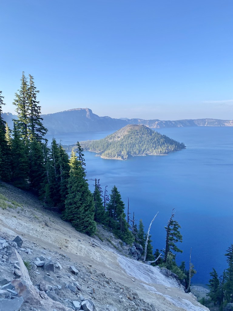 Rim TrailHiking · ~15 min drivePhoto: w_lemay, CC BY-SA 2.0 (via Flickr)
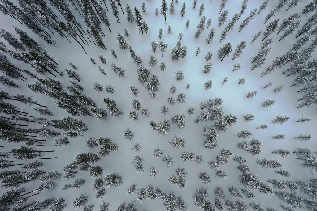 LAKE WEST SNOMOHiking · ~15 min drivePhoto: OregonDOT, CC BY 2.0 (via Flickr)
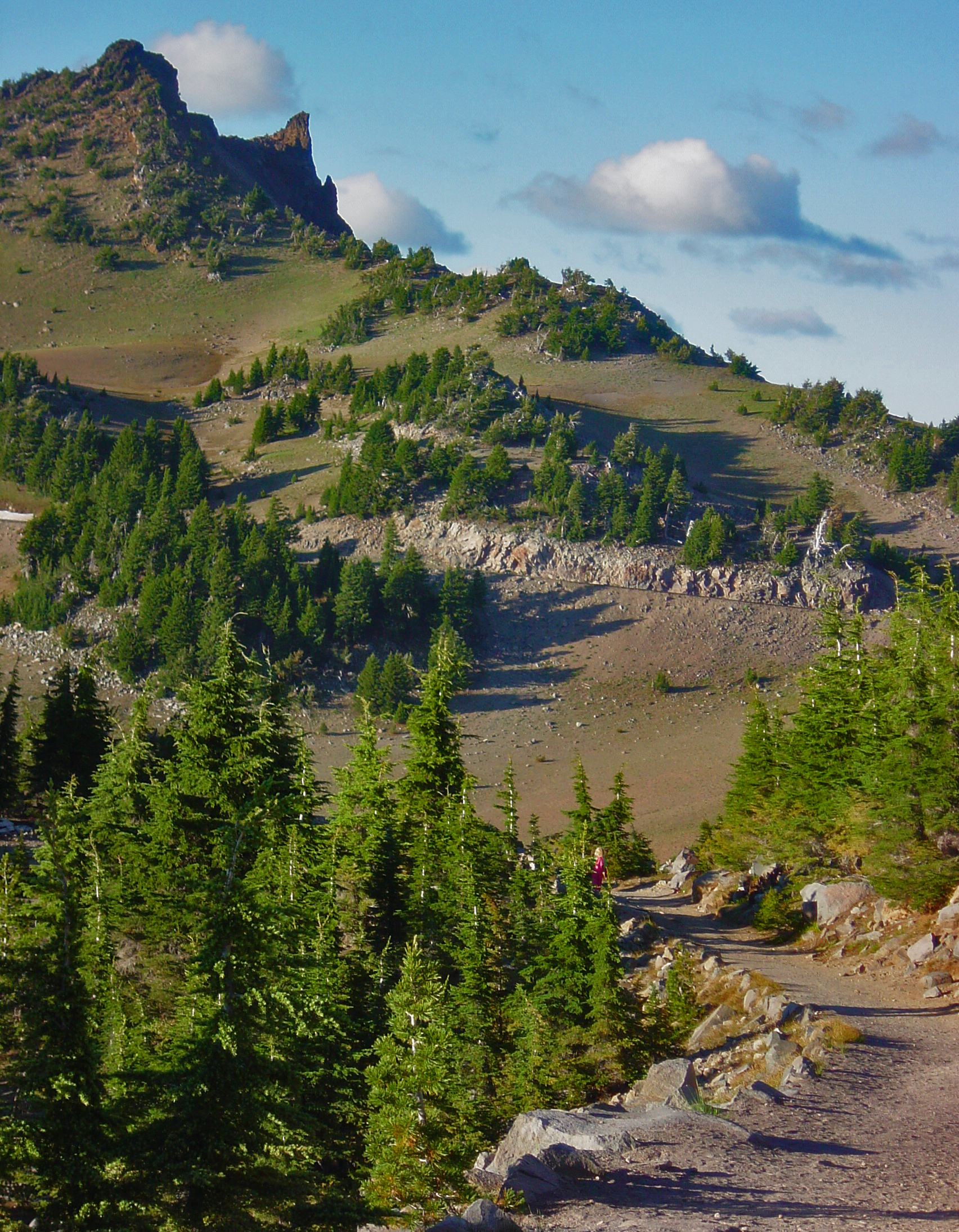 Watchman Peak TrailHiking · ~12 min drivePhoto: Markgorzynski, CC BY-SA 3.0 (via Wikimedia Commons)
- Southern Oregon Intertie Trail - OregonHiking · ~8 min drive
- Upper Rogue RiverHiking · ~12 min drive
- Sphagnum Bog TrailHiking · ~6 min drive
 Fumarole Bay TrailHiking · ~14 min drivePhoto: Greg Willis from Denver, CO, usa, CC BY-SA 2.0 (via Wikimedia Commons)
Best time to visit Bald Crater Loop Trail
Best months: June–September. Best months have typical highs of 55–85 °F, lows of 30 °F or warmer (32 °F where the station doesn't record snow), at most one snowy day and no more than 12 wet days.
Jan
33° / 20°
18 wet
Feb
34° / 19°
17 wet
Mar
36° / 20°
18 wet
Apr
40° / 23°
16 wet
May
49° / 29°
12 wet
Jun
57° / 34°
7 wet
Jul
69° / 41°
4 wet
Aug
69° / 42°
4 wet
Sep
63° / 37°
6 wet
Oct
51° / 30°
10 wet
Nov
38° / 23°
16 wet
Dec
33° / 19°
18 wet
Typical high / low (°F) and days with rain or snow, 1991–2020. Measured at Crater Lake Nps Hq, OR, 10.6 mi away at 6,485 ft. This station doesn't record snowfall. Source: NOAA NCEI U.S. Climate Normals 1991–2020.
Map and trail data © OpenStreetMap contributors
