Auger Valley Trail
- 1.0 mi
- round trip
- 125 ft
- climb
- 4,771 ft
- high point
- Out and back
- route
- May–Sep
- best months
Caution at last check
Agency alerts are in effect for this area; weather is good · USFS, OpenWeather · checked 18 h ago
Is Auger Valley Trail open right now?
No closures listed
The Forest Service lists no closures for Fremont-Winema National Forest.
As of · Source: USFS · Fremont-Winema National Forest. Agencies don't list every closure — check before you go.
Auger Valley Trail is a short, easy hike in the Silver Lake Ranger District of the Fremont-Winema National Forest in southern Oregon, managed by the Forest Service. The trail is about a mile long and sits at roughly 4,700 feet, with a one-way climb of about 50 feet and a round-trip total of about 125 feet. The route is an out-and-back, and the steepest stretch comes early, with a grade of about 8% at about 0.09 miles. Summer is the most comfortable time to go. Typical averages from a nearby weather station at Silver Lake show July highs around 85°F with lows near 45°F, and September highs around 76°F with only about three wet days. That station sits a few hundred feet lower than the trail, so temperatures on the trail run a little cooler. The trail makes a good pairing with other outings in the area. Silver Creek Marsh campground is about 2 miles away, and the Southern Oregon Intertie Trail is about 2.5 miles off. Thompson campground and Hager Mountain Lookout are both within about 3 miles.
Local outfitters
- Valley View RV Park21 mi away
- Sky Lakes Wilderness Adventures49 mi away
Not on Roamze yet. Their page has how to reach them.
Best time to go · May–Sep
Best time to visit Auger Valley Trail
Best months: May–September. Best months have typical highs of 55–85 °F, lows of 30 °F or warmer (32 °F where the station doesn't record snow), at most one snowy day and no more than 12 wet days.
Jan
40° / 20°
9 wet
Feb
45° / 22°
8 wet
Mar
51° / 24°
8 wet
Apr
56° / 28°
8 wet
May
66° / 34°
8 wet
Jun
74° / 39°
6 wet
Jul
85° / 45°
4 wet
Aug
84° / 43°
3 wet
Sep
76° / 36°
3 wet
Oct
62° / 29°
5 wet
Nov
48° / 23°
7 wet
Dec
38° / 19°
9 wet
Typical high / low (°F) and days with rain or snow, 1991–2020. Measured at Silver Lake Rs, OR, 8.5 mi away at 4,385 ft. This station doesn't record snowfall. Source: NOAA NCEI U.S. Climate Normals 1991–2020.
Keep exploring — more trails worth the drive
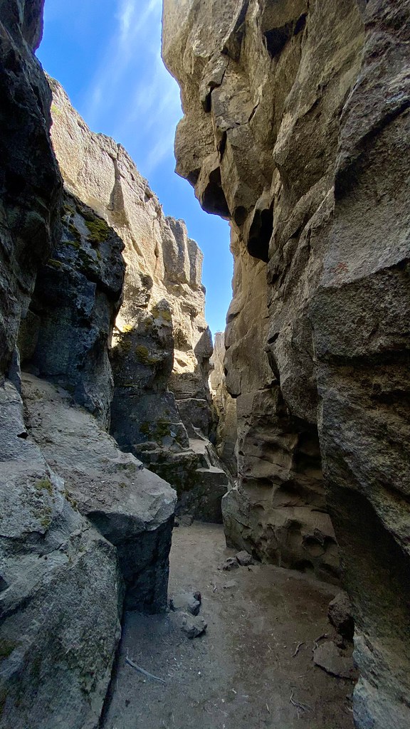 Photo: lamblukas, CC BY 2.0 (via Flickr)
Crack in the Ground Trail
~53 min drive
1.6-mile out-and-back trail in Oregon with 248 ft elevation gain
 Photo: U.S. Forest Service- Pacific Northwest Region, Public domain (via Wikimedia Commons)
Dead Cow Trail
~59 min drive
3.80-mile out-and-back trail in Oregon with 13 ft gain and 666 ft loss
Photo: U.S. Forest Service- Pacific Northwest Region, Public domain (via Wikimedia Commons)Lakes Loop
~60 min drive
14-mile loop trail in Oregon with 1,412 ft elevation gain.
HIKE
Fremont Nrt
~25 min drive
Remote 125-mile point-to-point trail through Oregon's Fremont National Forest.
Photo: U.S. Forest Service- Pacific Northwest Region, Public domain (via Wikimedia Commons)Lakes Loop Tie
~1h drive
Lakes Loop Tie is a 0.40-mile lollipop trail in Oregon with 149 feet of elevation gain.
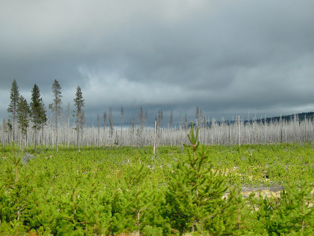 Photo: Juhele_CZ, Public Domain Dedication (CC0) (via Flickr)
PLAY LOOP
~1h 7m drive
9.9-mile out-and-back trail in Oregon with 546 ft gain/loss.
HIKE
Bluebuck Trail
~16 min drive
17.40-mile out-and-back trail in Oregon with 7,751 ft gain.
HIKE
Dead Horse Rim
~56 min drive
25.26-mile out-and-back trail in Oregon with 2,289 ft elevation gain.
Photo: Juhele_CZ, Public Domain Dedication (CC0) (via Flickr)RUNNER LOOP
~1h 6m drive
0.89-mile loop with 80 ft gain and 87 ft loss in Oregon
HIKE
National Forest Development Road 4452 Trail
~52 min drive
5.51-mile point-to-point forest service road trail in Oregon.

