Aubrey Mountain Trail
- 2.0 mi
- round trip
- 2,271 ft
- climb
- 3,042 ft
- high point
- Out and back
- route
- Jun–Oct
- best months
Is Aubrey Mountain Trail open right now?
Closure in the area
There's a closure order in Middle Fork Ranger District. It doesn't name Aubrey Mountain Trail, so check the source for the area it covers (2 listed).
Cedar Creek Area Closure
Agency closure covering Middle Fork Ranger District · Order 06-18-10-26-04 · USFS · Middle Fork Ranger District
Cedar Creek Fire Closure
Agency closure covering Willamette National Forest · Order 06-18-10-26-04 · USFS · Willamette National Forest
FIRE CLOSURES: Current wildfire closures on the Willamette National Forest
Agency alert covering Willamette National Forest · USFS · Willamette National Forest
2026 Active Wildfire
Agency alert covering Middle Fork Ranger District · USFS · Middle Fork Ranger District
As of · Source: USFS · Middle Fork Ranger District. Agencies don't list every closure — check before you go.
Aubrey Mountain Trail is a moderate out-and-back hike in Oregon's Willamette National Forest, within the Middle Fork Ranger District. The trail is about 4 miles long, with a total elevation gain of 2,271 feet from the starting point at 1,857 feet to the high point at 3,042 feet. The climb is front-loaded, and the steepest stretch comes early, around 0.43 miles in, with a grade of about 32%. Summer is the most comfortable time to go. Typical averages from a nearby weather station show July and August highs near 79°F with only about four wet days a month, while winter brings highs in the upper 30s and snow on roughly 10 days a month. That station sits higher than the trail, so temperatures on the trail run a bit warmer. The hike takes about 2.5 hours to complete. The Eugene to Pacific Crest route starts just 0.1 mile away, and Aubrey Mountain is about 0.7 mile off. For an overnight stay, Packard Creek campground is about 2.5 miles away and Salmon Creek Falls is about 2.9 miles away.
Local outfitters
- Casey's Riverside RV Resort6 mi away
- Shelter Cove Resort & Marina22 mi away
Not on Roamze yet. Their page has how to reach them.
Conditions and forecast on Aubrey Mountain
Daily highs and lows, wind and the chance of precipitation at the summit and route start for the next 7 days, from the Open-Meteo model.
- Eugene to Pacific CrestHiking0.1 mi
 Aubrey MountainHikingPhoto: (c) Ed Alverson, some rights reserved (CC BY), CC BY 4.0 (via Wikimedia Commons)0.7 mi
- Packard CreekCamping2.5 mi
- Salmon Creek FallsCamping2.9 mi
- Hills Creek SpiresRock climbing4.6 mi
- Deception CreekCanoeing7 mi
- Adam's BouldersRock climbing8.5 mi
- Hills CreekCanoeing8.7 mi
Source: Roamze catalog (indexable pages within 10 miles, PostGIS distance)
 GreenwatersHiking · ~3 min drivePhoto: johnynek, CC BY-SA 2.0 (via Flickr)
 North Fork Segment #1Hiking · ~7 min drivePhoto: Bruce Fingerhood from Springfield, Oregon, US, CC BY 2.0 (via Wikimedia Commons)
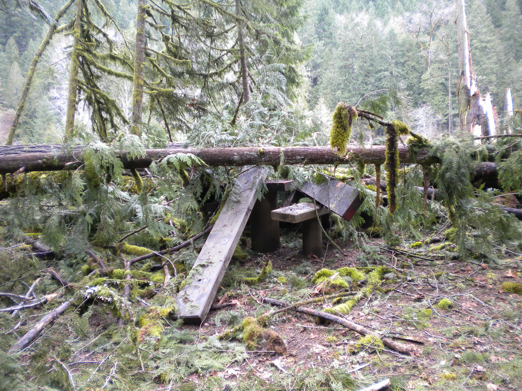 Lower Middle ForkHiking · ~10 min drivePhoto: Forest Service Pacific Northwest Region, Public Domain Mark (via Flickr)
- Dead Mountain TrailHiking · ~5 min drive
- Wren LoopHiking · ~11 min drivePhoto: Forest Service Pacific Northwest Region, Public Domain Mark (via Flickr)
- Deception ButteHiking · ~11 min drivePhoto: Forest Service Pacific Northwest Region, Public Domain Mark (via Flickr)
- Salmon CreekHiking · ~5 min drive
- Alpine TrailHiking · ~10 min drive
- Aubrey MountainHiking · ~1 min drivePhoto: (c) Ed Alverson, some rights reserved (CC BY), CC BY 4.0 (via Wikimedia Commons)
- South Salmon CreekHiking · ~4 min drive
Best time to visit Aubrey Mountain Trail
Best months: June–October. Best months have typical highs of 55–85 °F, lows of 30 °F or warmer (32 °F where the station doesn't record snow), at most one snowy day and no more than 12 wet days.
Jan
39° / 27°
17 wet · 10 snow
Feb
42° / 27°
15 wet · 9 snow
Mar
46° / 29°
17 wet · 9 snow
Apr
50° / 32°
17 wet · 5 snow
May
61° / 38°
14 wet · 1 snow
Jun
68° / 43°
9 wet
Jul
79° / 48°
4 wet
Aug
79° / 47°
4 wet
Sep
72° / 43°
6 wet
Oct
58° / 36°
12 wet · 1 snow
Nov
45° / 31°
16 wet · 6 snow
Dec
38° / 26°
18 wet · 11 snow
Typical high / low (°F) and days with rain or snow, 1991–2020. Measured at Lemolo Lake 3 Nnw, OR, 27.7 mi away at 4,077 ft. The station sits about 1,000 ft higher than this place, so expect it a little warmer here. Source: NOAA NCEI U.S. Climate Normals 1991–2020.
Route details
- Distance
- 2.0 mi round trip
- Climbing
- About 2,271 ft
- Summit
- 3,025 ft
- Difficulty
- Moderate
- Time
- About 1.5 hours
Other routes up Aubrey Mountain
Questions about this route
How long is the Aubrey Mountain Trail on Aubrey Mountain?
About 2.0 mi round trip.
How much elevation gain is on the Aubrey Mountain Trail?
About 2,271 ft of climbing round trip.
How hard is the Aubrey Mountain Trail?
It is rated moderate.
How long does the Aubrey Mountain Trail take?
About 1.5 hours round trip.
How many routes go up Aubrey Mountain?
2: Aubrey Mountain and Aubrey Mountain Trail.
Map and trail data © OpenStreetMap contributors
