Agnes Creek South Trail
- 0.3 mi
- loop
- 45 ft
- climb
- 239 ft
- high point
- Loop
- route
- Jun–Sep
- best months
Agnes Creek South Trail is a short, easy loop hike in Oregon, about half a mile from Lincoln City. The trail is 0.33 miles long, with a total elevation gain of 45 feet, and it makes a quick stop for anyone already in town. The route is a loop that starts and ends at nearly the same elevation, with a high point of 239 feet and a low of 194 feet. The climb is flat overall, and the steepest stretch comes early, at about 0.1 mile in, with a grade of 6 percent. The trail is rated easy, and the whole trip takes about half an hour. Summer is the most comfortable time to go. Typical averages from a nearby weather station show July and August highs around 71 to 72°F with only about seven wet days a month, while winter months bring highs in the upper 40s and rain on more than half the days. Agnes Creek North Trail is just 0.3 miles away. Paddlers can head to the D River, about 1.2 miles off, or Schooner Creek, about 3 miles away. Alder Island Nature Trail is roughly 3.8 miles from the trail.
Local outfitters
- Rock Your Worldunder a mile away
- Boiler Bay RV Park8 mi away
Not on Roamze yet. Their page has how to reach them.
- Agnes Creek North TrailHiking0.3 mi
 D RiverCanoeingPhoto: Becherka, Public domain (via Wikimedia Commons)1.2 mi
- Schooner CreekCanoeing3 mi
 Alder Island Nature TrailHikingPhoto: OregonDOT, CC BY 2.0 (via Flickr)3.8 mi
 High Meadow TrailHikingPhoto: Leslie Seaton from Seattle, WA, USA, CC BY 2.0 (via Wikimedia Commons)5.9 mi
 Old Baldy TrailHikingPhoto: ixmati, CC BY 2.0 (via Flickr)6 mi
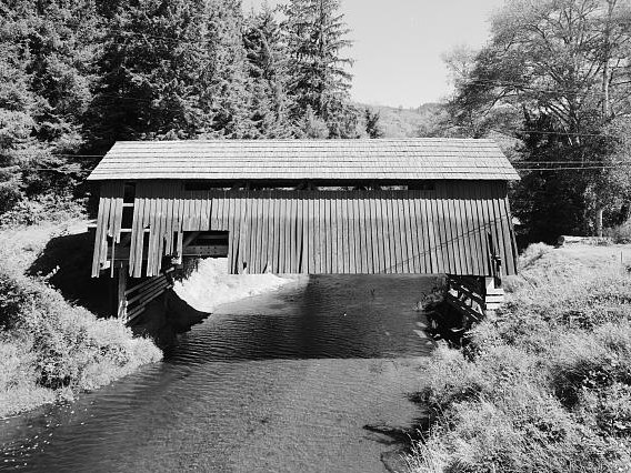 Drift CreekCanoeingPhoto: Unknown author, Public domain (via Wikimedia Commons)6.5 mi
- Cedar CreekCanoeing9.4 mi
Source: Roamze catalog (indexable pages within 10 miles, PostGIS distance)
- Alder Island Nature TrailHiking · ~7 min drivePhoto: OregonDOT, CC BY 2.0 (via Flickr)
 Cascade Head TrailHiking · ~11 min drivePhoto: Art Anderson, CC BY-SA 3.0 (via Wikimedia Commons)
- Cascade HeadHiking · ~14 min drive
- High Meadow TrailHiking · ~10 min drivePhoto: Leslie Seaton from Seattle, WA, USA, CC BY 2.0 (via Wikimedia Commons)
 Hart's CoveHiking · ~14 min drivePhoto: Leslie Seaton from Seattle, WA, USA, CC BY 2.0 (via Wikimedia Commons)
- Pioneer IndianHiking · ~38 min drive
- Old Baldy TrailHiking · ~10 min drivePhoto: ixmati, CC BY 2.0 (via Flickr)
 Drift Creek FallsHiking · ~14 min drivePhoto: Forest Service Pacific Northwest Region, Public Domain Mark (via Flickr)
- Salmon River TrailHiking · ~10 min drivePhoto: Leslie Seaton from Seattle, WA, USA, CC BY 2.0 (via Wikimedia Commons)
- North Loop TrailHiking · ~14 min drivePhoto: Forest Service Pacific Northwest Region, Public Domain Mark (via Flickr)
Best time to visit Agnes Creek South Trail
Best months: June–September. Best months have typical highs of 55–85 °F, lows of 30 °F or warmer (32 °F where the station doesn't record snow), at most one snowy day and no more than 12 wet days.
Jan
49° / 38°
26 wet
Feb
51° / 38°
21 wet
Mar
55° / 39°
22 wet
Apr
59° / 41°
19 wet
May
63° / 45°
15 wet
Jun
66° / 49°
12 wet
Jul
71° / 51°
7 wet
Aug
72° / 52°
7 wet
Sep
70° / 49°
10 wet
Oct
61° / 45°
17 wet
Nov
53° / 41°
23 wet
Dec
48° / 37°
27 wet
Typical high / low (°F) and days with rain or snow, 1991–2020. Measured at Otis 2 Ne, OR, 7.3 mi away at 150 ft. Source: NOAA NCEI U.S. Climate Normals 1991–2020.
Map and trail data © OpenStreetMap contributors
