Sru Lake
- May–Oct
- best months
Is Sru Lake open right now?
Closure in the area
There's a closure order in Powers Ranger District. It doesn't name Sru Lake, so check the source for the area it covers.
Rogue River National Recreation Trail Emergency Closure
Agency closure covering Powers Ranger District · Order 06-10-28-26-05 · USFS · Powers Ranger District
As of · Source: USFS · Powers Ranger District. Agencies don't list every closure — check before you go.
- At 2,202 ft
- Powers Ranger DistrictRogue River-Siskiyou National Forests
Sru Lake is a Forest Service campground in the Powers Ranger District of the Rogue River-Siskiyou National Forests in southwest Oregon. It sits within the national forest's boundaries, and the Forest Service manages the land. Summer is the most comfortable time to visit. Typical averages from a nearby weather station at Sexton Summit show July and August highs around 77°F with only about two wet days a month, while winter months bring highs in the low 40s and rain on roughly half the days. There is no fee to stay here. The closest neighbors are Coquille River Falls, about 1.3 miles away, and Island Camp, about 1.9 miles away. Daphne Grove and the South Fork Coquille River, a paddling route, are both within about 3 miles.
Local outfitters
- John Carl Guide Service12 mi away
- Remote Outpost RV Park19 mi away
Not on Roamze yet. Their page has how to reach them.
 Coquille River FallsHikingPhoto: Don Henise, CC BY 2.0 (via Flickr)1.3 mi
- Island CampCamping1.9 mi
- Clay HillHiking2.4 mi
- Daphne GroveCamping2.5 mi
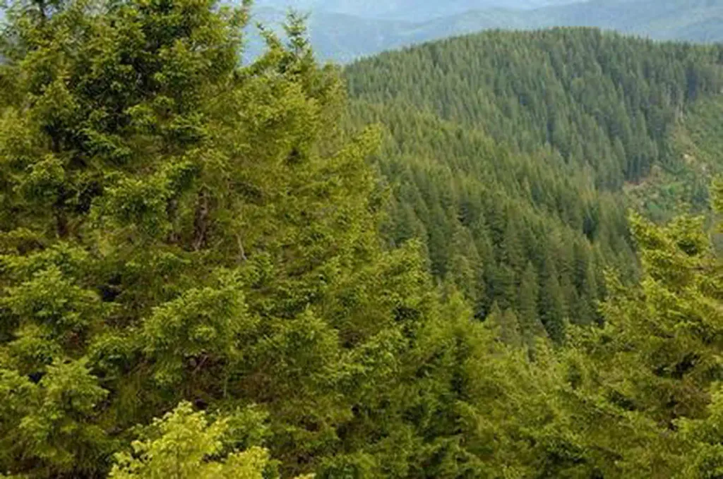 Bald Knob LookoutCampingPhoto: Recreation.gov (RIDB) / public domain2.8 mi
 South Fork Coquille RiverCanoeingPhoto: Headwes at English Wikipedia, CC BY-SA 3.0 (via Wikimedia Commons)3 mi
- Panther RidgeHiking3.1 mi
- West Fork Mule CreekCanoeing5.8 mi
Source: Roamze catalog (indexable pages within 10 miles, PostGIS distance)
- Bald Knob LookoutCamping · ~5 min drive
- PeacockCamping · ~2 min drive
- LockhartCamping · ~2 min drive
- Daphne GroveCamping · ~4 min drive
- Rock CreekCamping · ~5 min drive
- T=Rock Creek CampgroundCamping · ~6 min drive
- Azalea Lake Camping AreaCamping · ~7 min drive
- Myrtle GroveCamping · ~7 min drive
- Buck CreekCamping · ~7 min drive
- Rogue River Floater/Hiker CampsitesCamping · ~8 min drive
Best time to visit Sru Lake
Best months: May–October. Best months have typical highs of 55–85 °F, lows of 30 °F or warmer (32 °F where the station doesn't record snow), at most one snowy day and no more than 12 wet days.
Jan
43° / 33°
16 wet
Feb
44° / 33°
15 wet
Mar
46° / 33°
16 wet
Apr
52° / 35°
14 wet
May
61° / 41°
10 wet
Jun
68° / 46°
6 wet
Jul
77° / 53°
2 wet
Aug
77° / 54°
2 wet
Sep
70° / 51°
4 wet
Oct
58° / 43°
9 wet
Nov
47° / 36°
15 wet
Dec
41° / 32°
16 wet
Typical high / low (°F) and days with rain or snow, 1991–2020. Measured at Sexton Summit, OR, 33.9 mi away at 3,832 ft. The station sits about 1,600 ft higher than this place, so expect it a little warmer here. This station doesn't record snowfall. Source: NOAA NCEI U.S. Climate Normals 1991–2020.
Closures we've recorded since August 2026
Stage 2 Public Use Fire Restrictions (Forest-wide)
Rogue River-Siskiyou National Forests · Order dated September 4, 2026; seen Sep 3, 2026 → lifted Oct 28, 2026 · Forest Service
Stage 3 Public Use Fire Restrictions (Forest-wide)
Rogue River-Siskiyou National Forests · Order dated July 17, 2026; seen Aug 23, 2026 → lifted Sep 3, 2026 · Forest Service

