Azalea Lake Camping Area
- May–Jun, Sep–Oct
- best months
Is Azalea Lake Camping Area open right now?
No closures listed
The Forest Service lists no closures for Rogue River-Siskiyou National Forests.
As of · Source: USFS · Rogue River-Siskiyou National Forests. Agencies don't list every closure — check before you go.
- At 2,160 ft
- Wild Rogue WildernessGold Beach Ranger District · Rogue River-Siskiyou National Forests
Azalea Lake Camping Area is a campground in Oregon with 10 sites. It is managed by the Forest Service.
Local outfitters
- John Carl Guide Service12 mi away
- Remote Outpost RV Park20 mi away
Not on Roamze yet. Their page has how to reach them.
 Devils BackboneHikingPhoto: james shaw, CC BY-SA 3.0 (via Wikimedia Commons)0.5 mi
- Panther RidgeHiking2 mi
- Stair Creek FallsWaterfall2.1 mi
- Sru LakeCamping3.9 mi
- Coquille River FallsWaterfall4.3 mi
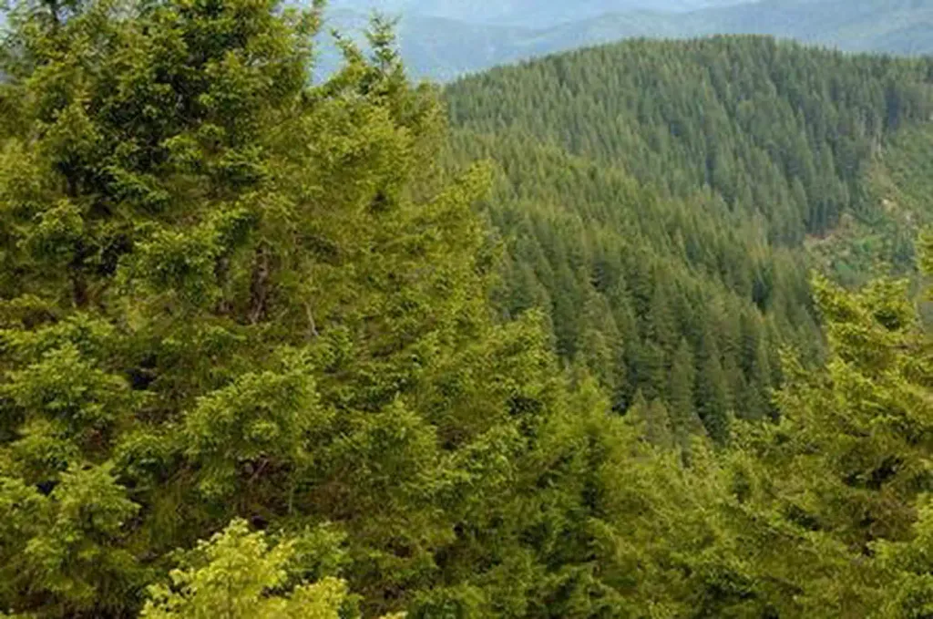 Bald Knob LookoutCampingPhoto: Recreation.gov (RIDB) / public domain4.5 mi
 South Fork Coquille RiverCanoeingPhoto: Headwes at English Wikipedia, CC BY-SA 3.0 (via Wikimedia Commons)5.7 mi
- Brandy PeakSummit7.8 mi
Source: Roamze catalog (indexable pages within 10 miles, PostGIS distance)
- Bald Knob LookoutCamping · ~8 min drive
- Blossom BarCamping · ~2 min drive
- Brushy Bar CreekCamping · ~3 min drive
- Rogue River Floater/Hiker CampsitesCamping · ~4 min drive
- Rogue River Dispersed CampsitesCamping · ~4 min drive
- Rogue River RanchCamping · ~5 min drive
- Tucker Flat CampgroundCamping · ~6 min drive
- Sru LakeCamping · ~7 min drive
- PeacockCamping · ~7 min drive
- LockhartCamping · ~7 min drive
Also worth it near here
- Devils BackboneHiking · Next doorPhoto: james shaw, CC BY-SA 3.0 (via Wikimedia Commons)
- Stair Creek FallsWaterfall · ~4 min drive
- Grave Creek to Marial Back Country BywayScenic drive · ~4 min drive
 Hanging RockMountain biking · ~5 min drivePhoto: Bureau of Land Management Oregon and Washington, Public domain (via Wikimedia Commons)
Best time to visit Azalea Lake Camping Area
Best months: May–June and September–October. Best months have typical highs of 55–85 °F, lows of 30 °F or warmer (32 °F where the station doesn't record snow), at most one snowy day and no more than 12 wet days.
Jan
53° / 37°
19 wet
Feb
57° / 37°
17 wet
Mar
62° / 39°
18 wet
Apr
66° / 41°
15 wet
May
74° / 47°
12 wet
Jun
80° / 51°
6 wet
Jul
88° / 55°
2 wet
Aug
89° / 54°
2 wet
Sep
84° / 49°
5 wet
Oct
71° / 43°
12 wet
Nov
58° / 41°
18 wet
Dec
51° / 37°
20 wet
Typical high / low (°F) and days with rain or snow, 1991–2020. Measured at Riddle, OR, 34.2 mi away at 680 ft. The station sits about 1,500 ft lower than this place, so expect it a little cooler here. Source: NOAA NCEI U.S. Climate Normals 1991–2020.
Closures we've recorded since August 2026
Stage 2 Public Use Fire Restrictions (Forest-wide)
Rogue River-Siskiyou National Forests · Order dated September 4, 2026; seen Sep 3, 2026 → lifted Oct 28, 2026 · Forest Service
Stage 3 Public Use Fire Restrictions (Forest-wide)
Rogue River-Siskiyou National Forests · Order dated July 17, 2026; seen Aug 23, 2026 → lifted Sep 3, 2026 · Forest Service
