Island Camp
- Mar–Jun, Oct–Nov
- best months
Caution today
Agency alerts are in effect for this area; weather is good · USFS, OpenWeather · checked 1 h ago
Is Island Camp open right now?
Closure in the area
There's a closure order in Powers Ranger District. It doesn't name Island Camp, so check the source for the area it covers.
Rogue River National Recreation Trail Emergency Closure
Agency closure covering Powers Ranger District · Order 06-10-28-26-05 · USFS · Powers Ranger District
As of · Source: USFS · Powers Ranger District. Agencies don't list every closure — check before you go.
- At 960 ft
- Powers Ranger DistrictRogue River-Siskiyou National Forests
Island Camp is a Forest Service campground in the Powers Ranger District of the Rogue River-Siskiyou National Forests in southwest Oregon. The land is managed by the Forest Service, and the site charges a fee for use. Late spring and early fall are the most comfortable times to visit. Typical averages from the nearby Illahe weather station show May highs around 75°F and October highs near 69°F, while July and August average about 90°F. That station sits roughly 600 feet lower than the camp, so temperatures at the site run a little cooler. Several other destinations lie within a short drive. Coquille River Falls is about a mile away, and Daphne Grove is about 1.2 miles off. Rock Creek and Sru Lake campgrounds are both within about 2 miles.
Local outfitters
- John Carl Guide Service12 mi away
- Remote Outpost RV Park20 mi away
Not on Roamze yet. Their page has how to reach them.
 Coquille River FallsHikingPhoto: Don Henise, CC BY 2.0 (via Flickr)0.9 mi
- Daphne GroveHiking1.2 mi
- Rock CreekCamping1.4 mi
- Sru LakeCamping1.9 mi
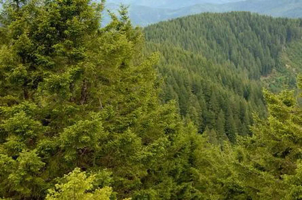 Bald Knob LookoutCampingPhoto: Recreation.gov (RIDB) / public domain2 mi
- Wild Rogue LoopHiking2.2 mi
 South Fork Coquille RiverCanoeingPhoto: Headwes at English Wikipedia, CC BY-SA 3.0 (via Wikimedia Commons)4.3 mi
- West Fork Mule CreekCanoeing7.6 mi
Source: Roamze catalog (indexable pages within 10 miles, PostGIS distance)
- Bald Knob LookoutCamping · ~3 min drive
- Edson Creek Campground (OR)Camping · ~34 min drive
- Daphne GroveCamping · ~2 min drive
- Rock CreekCamping · ~2 min drive
- T=Rock Creek CampgroundCamping · ~2 min drive
- Sru LakeCamping · ~3 min drive
- PeacockCamping · ~5 min drive
- LockhartCamping · ~5 min drive
- Myrtle GroveCamping · ~8 min drive
- Rogue River Floater/Hiker CampsitesCamping · ~9 min drive
Also worth it near here
Best time to visit Island Camp
Best months: March–June and October–November. Best months have typical highs of 55–85 °F, lows of 30 °F or warmer (32 °F where the station doesn't record snow), at most one snowy day and no more than 12 wet days.
Jan
51° / 37°
Feb
54° / 38°
Mar
59° / 39°
Apr
65° / 40°
May
75° / 43°
Jun
81° / 49°
Jul
90° / 52°
Aug
91° / 52°
Sep
86° / 48°
Oct
69° / 43°
Nov
55° / 40°
Dec
51° / 36°
Typical high / low (°F) and days with rain or snow, 1991–2020. Measured at Illahe, OR, 6.5 mi away at 348 ft. The station sits about 600 ft lower than this place, so expect it a little cooler here. This station doesn't record snowfall. Source: NOAA NCEI U.S. Climate Normals 1991–2020.
Closures we've recorded since August 2026
Stage 2 Public Use Fire Restrictions (Forest-wide)
Rogue River-Siskiyou National Forests · Order dated September 4, 2026; seen Sep 3, 2026 → lifted Oct 28, 2026 · Forest Service
Stage 3 Public Use Fire Restrictions (Forest-wide)
Rogue River-Siskiyou National Forests · Order dated July 17, 2026; seen Aug 23, 2026 → lifted Sep 3, 2026 · Forest Service

