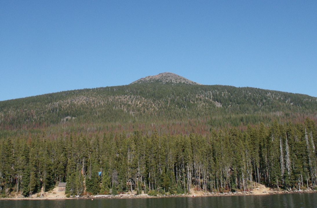
Pyramid Butte
 Photo: EncMstr (talk · contribs), CC BY-SA 3.0 (via Wikimedia Commons)
- 0.8 mi
- distance
- 439 ft
- climb
Is Pyramid Butte open right now?
Closure in the area
There's a closure order in Detroit Ranger District. It doesn't name Pyramid Butte, so check the source for the area it covers (3 listed).
Beachie Creek and Lionshead Fires Closure
Agency closure covering Detroit Ranger District · Order 06-18-04-26-14 · USFS · Detroit Ranger District
Beachie Creek and Lionshead Fires Closure
Agency closure covering Detroit Ranger District · Order 06-18-04-26-14 · USFS · Detroit Ranger District
Cedar Creek Fire Closure
Agency closure covering Willamette National Forest · Order 06-18-10-26-04 · USFS · Willamette National Forest
FIRE CLOSURES: Current wildfire closures on the Willamette National Forest
Agency alert covering Willamette National Forest · USFS · Willamette National Forest
As of · Source: USFS · Detroit Ranger District. Agencies don't list every closure — check before you go.
Pyramid Butte is a 0.83-mile trail at Breitenbush Lake Trailhead in Oregon with 842 feet of elevation gain. The trail ascends within the Breitenbush Lake Trailhead system, managed by the Forest Service.
Local outfitters
- Octane Adventures32 mi away
- Big Lake Youth Camp35 mi away
Not on Roamze yet. Their page has how to reach them.
 TurpentineMountain biking · ~31 min drivePhoto: Robert Ashworth from Bellingham, WA., USA, CC BY 2.0 (via Wikimedia Commons)
- PCT: Mt HoodMountain biking · ~2 min drivePhoto: EncMstr (talk · contribs), CC BY-SA 3.0 (via Wikimedia Commons)
- Gibson LakeMountain biking · ~2 min drive
- Ruddy HillMountain biking · ~2 min drive
- Horseshoe SaddleMountain biking · ~2 min drive
- Monon LakeMountain biking · ~4 min drive
- MonolallieMountain biking · ~5 min drive
- Top LakeMountain biking · ~5 min drive
- Timber LakeMountain biking · ~5 min drive
- Red LakeMountain biking · ~6 min drive

Map and trail data © OpenStreetMap contributors
