Natural Bridge
- 3,204 ft
- elevation
- May–Jun, Sep–Oct
- best months
Is Natural Bridge open right now?
Alert in the area
The Forest Service lists an alert for High Cascades Ranger District.
Fish Lake Boat Ramp Closure
Agency alert covering High Cascades Ranger District · Order 06-10-24-26-02 · USFS · High Cascades Ranger District
As of · Source: USFS · High Cascades Ranger District. Agencies don't list every closure — check before you go.
Natural Bridge is a natural arch in Oregon's High Cascades Ranger District, part of the Rogue River-Siskiyou National Forests. It sits at about 3,200 feet, roughly 9 miles from the town of Prospect. Summer is the most comfortable time to visit. Typical averages from a nearby weather station in Prospect show July and August highs around 89°F with only two or three wet days a month, while winter brings highs in the upper 40s and rain on more than half the days. Natural Bridge Campground is just 0.3 miles away, and Union Creek Campground and the Union Creek Trail are both about 1.5 miles off. Abbott Creek, a canoeing spot, is about 2.6 miles away.
- Elevation
- 3,204 ft
Elevation from USGS 3D Elevation Program terrain data (about 10 m resolution).
- Natural Bridge CampgroundCamping0.3 mi
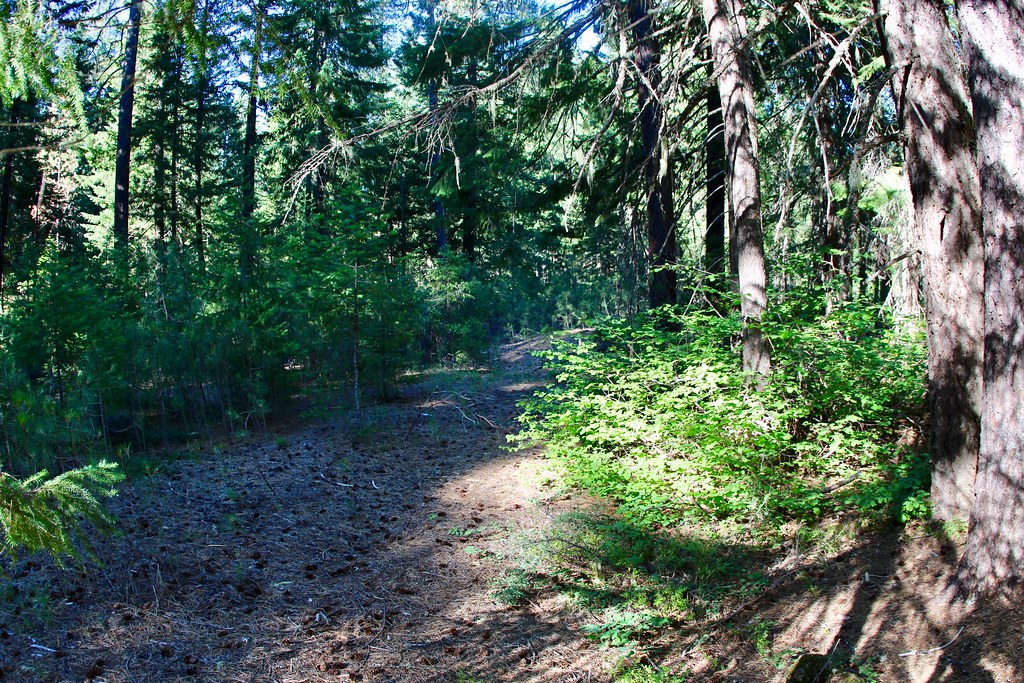 UNION CREEK CG NORDICHikingPhoto: daveynin, CC BY 2.0 (via Flickr)1.5 mi
 Union Creek TrailHikingPhoto: zappowbang, CC BY-SA 2.0 (via Flickr)1.5 mi
- Union Creek NordicCross-country skiing1.6 mi
- Union Creek CampgroundCamping1.6 mi
- Abbott CreekCanoeing2.6 mi
- Mill CreekCanoeing5.3 mi
 Rabbit Ears (Rogue)Rock climbingPhoto: Oregon Department of Transportation, CC BY 2.0 (via Wikimedia Commons)8.2 mi
Source: Roamze catalog (indexable pages within 10 miles, PostGIS distance)
Best time to visit Natural Bridge
Best months: May–June and September–October. Best months have typical highs of 55–85 °F, lows of 30 °F or warmer (32 °F where the station doesn't record snow), at most one snowy day and no more than 12 wet days.
Jan
50° / 30°
16 wet
Feb
54° / 31°
14 wet
Mar
58° / 33°
16 wet
Apr
62° / 35°
15 wet
May
71° / 41°
11 wet
Jun
78° / 45°
5 wet
Jul
89° / 50°
3 wet
Aug
89° / 49°
2 wet
Sep
83° / 44°
4 wet
Oct
70° / 38°
9 wet
Nov
55° / 34°
16 wet
Dec
48° / 30°
17 wet
Typical high / low (°F) and days with rain or snow, 1991–2020. Measured at Prospect 2 Sw, OR, 11 mi away at 2,482 ft. The station sits about 700 ft lower than this place, so expect it a little cooler here. This station doesn't record snowfall. Source: NOAA NCEI U.S. Climate Normals 1991–2020.
Closures we've recorded since August 2026
Stage 2 Public Use Fire Restrictions (Forest-wide)
Rogue River-Siskiyou National Forests · Order dated September 4, 2026; seen Sep 3, 2026 → lifted Oct 28, 2026 · Forest Service
Stage 3 Public Use Fire Restrictions (Forest-wide)
Rogue River-Siskiyou National Forests · Order dated July 17, 2026; seen Aug 23, 2026 → lifted Sep 3, 2026 · Forest Service
