Natural Bridge Loop Nordic Tr
- 4.2 mi
- distance
- 94 ft
- climb
- 3,318 ft
- high point
- May–Jun, Sep–Oct
- best months
Is Natural Bridge Loop Nordic Tr open right now?
Alert in the area
The Forest Service lists an alert for High Cascades Ranger District.
Fish Lake Boat Ramp Closure
Agency alert covering High Cascades Ranger District · Order 06-10-24-26-02 · USFS · High Cascades Ranger District
As of · Source: USFS · High Cascades Ranger District. Agencies don't list every closure — check before you go.
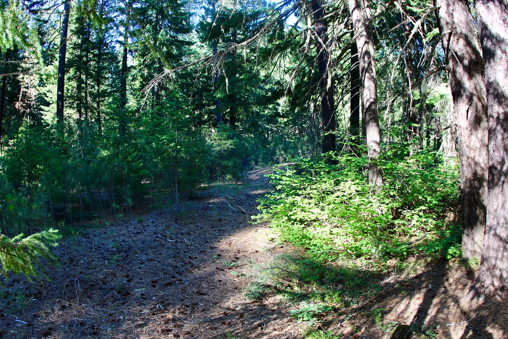
Natural Bridge Loop Nordic Tr is a 4.15-mile trail at Mount Stella in Oregon with 652 feet of elevation gain. The trail loops through the Mount Stella trail system on federal Forest Service land.
Local outfitters
- Diamond Lake Resort23 mi away
- Sky Lakes Wilderness Adventures38 mi away
Not on Roamze yet. Their page has how to reach them.
- Natural Bridge Loop Nordic TrCross-country skiing · ~1 min drive
- Old Growth NordicCross-country skiing · ~4 min drive
- Broken Arrow Connection SouthCross-country skiing · ~38 min drive
- Kelsay Mtn. Loop SnomoCross-country skiing · ~56 min drive
- Union Creek NordicCross-country skiing · ~1 min drive
- Jack Pine NordicCross-country skiing · ~7 min drive
- High Lakes Nordic TrailCross-country skiing · ~1h 1m drive
- Fish Lake Tie NordicCross-country skiing · ~1h 2m drive
- Old Growth NordicCross-country skiing · ~3 min drive
- Hemlock Butte Ski CabinCross-country skiing · ~34 min drive
Best time to visit Natural Bridge Loop Nordic Tr
Best months: May–June and September–October. Best months have typical highs of 55–85 °F, lows of 30 °F or warmer (32 °F where the station doesn't record snow), at most one snowy day and no more than 12 wet days.
Jan
50° / 30°
16 wet
Feb
54° / 31°
14 wet
Mar
58° / 33°
16 wet
Apr
62° / 35°
15 wet
May
71° / 41°
11 wet
Jun
78° / 45°
5 wet
Jul
89° / 50°
3 wet
Aug
89° / 49°
2 wet
Sep
83° / 44°
4 wet
Oct
70° / 38°
9 wet
Nov
55° / 34°
16 wet
Dec
48° / 30°
17 wet
Typical high / low (°F) and days with rain or snow, 1991–2020. Measured at Prospect 2 Sw, OR, 12.6 mi away at 2,482 ft. The station sits about 800 ft lower than this place, so expect it a little cooler here. This station doesn't record snowfall. Source: NOAA NCEI U.S. Climate Normals 1991–2020.
Closures we've recorded since August 2026
Stage 2 Public Use Fire Restrictions (Forest-wide)
Rogue River-Siskiyou National Forests · Order dated September 4, 2026; seen Sep 3, 2026 → lifted Oct 28, 2026 · Forest Service
Stage 3 Public Use Fire Restrictions (Forest-wide)
Rogue River-Siskiyou National Forests · Order dated July 17, 2026; seen Aug 23, 2026 → lifted Sep 3, 2026 · Forest Service
Map and trail data © OpenStreetMap contributors
