Hanging Rock Trail
 Photo: Wayne National Forest, Public Domain Mark (via Flickr)
- 11.5 mi
- loop
- 1,225 ft
- climb
- 931 ft
- high point
- Loop
- route
- Apr–Oct
- best months
Is Hanging Rock Trail open right now?
Closure in the area
There's a closure order in Wayne National Forest. It doesn't name Hanging Rock Trail, so check the source for the area it covers.
Lake Vesuvius Area Closure Public Health and Safety
Agency closure covering Wayne National Forest · USFS · Wayne National Forest
Timbre Ridge Lake Closure
Agency alert covering Wayne National Forest · Order 09-14-25-01 · USFS · Wayne National Forest
As of · Source: USFS · Wayne National Forest. Agencies don't list every closure — check before you go.
Hanging Rock Trail is a hard hike of about 11.5 miles in the Ironton Ranger District of Wayne National Forest in Ohio, managed by the Forest Service. The route gains about 1,225 feet in elevation, with the steepest stretch at roughly 6.9 miles, where the grade reaches 18%. The trail starts at about 845 feet and reaches a high point of 931 feet, with a similar amount of descent at the end. September is a comfortable time to go, with typical highs near 78°F and lows around 56°F, and October is similar at about 67°F by day and 43°F at night. These are typical averages from a nearby weather station in Ashland, KY, which sits several hundred feet below the trail, so temperatures on the route run a bit cooler. The Hanging Rock Loop and Gas Well Loop both start within about 0.1 mile of the trail. For an overnight stay, Oak Hill Campground is about 5.6 miles away, and the Hidden Boulder climbing area is about 5.2 miles away.
- HANGING ROCK LOOPHiking0.1 mi
- GAS WELL LOOPHiking0.1 mi
- Ironton Ranger District - Ironton AreaLake fishing4.6 mi
- Little Pine CreekCanoeing4.7 mi
- Hidden BoulderRock climbing5.2 mi
- The RockRock climbing5.4 mi
- Oak Hill CampgroundCamping5.6 mi
- Two Points Group AreaCamping5.6 mi
Source: Roamze catalog (indexable pages within 10 miles, PostGIS distance)
 Lakeview TrailHiking · Next doorPhoto: Wayne National Forest, Public Domain Mark (via Flickr)
- Copperhead TrailHiking · ~2 min drivePhoto: Wayne National Forest, Public Domain Mark (via Flickr)
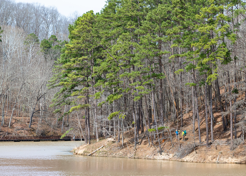 Lake ShoreHiking · ~9 min drivePhoto: Wayne National Forest, Public Domain Mark (via Flickr)
- Michael Tygart TrailHiking · ~19 min drive
- Sawmill TrailHiking · ~1 min drivePhoto: Wayne National Forest, Public Domain Mark (via Flickr)
- Power Line TrailHiking · ~3 min drivePhoto: Wayne National Forest, Public Domain Mark (via Flickr)
 Vesuvius Backpack TrailHiking · ~9 min drivePhoto: Wayne National Forest, Public Domain Mark (via Flickr)
- Scarlet Oak TrailHiking · ~9 min drivePhoto: Wayne National Forest, Public Domain Mark (via Flickr)
 Wolcot TrailHiking · ~19 min drivePhoto: Wayne National Forest, Public Domain Mark (via Flickr)
 Vesuvius Main LoopHiking · ~11 min drivePhoto: Wayne National Forest, Public Domain Mark (via Flickr)
Best time to visit Hanging Rock Trail
Best months: April–October. Best months have typical highs of 55–85 °F, lows of 30 °F or warmer (32 °F where the station doesn't record snow), at most one snowy day and no more than 12 wet days.
Jan
40° / 23°
12 wet
Feb
44° / 24°
11 wet
Mar
54° / 31°
13 wet
Apr
67° / 41°
12 wet
May
75° / 51°
12 wet
Jun
82° / 61°
11 wet
Jul
85° / 65°
11 wet
Aug
84° / 63°
9 wet
Sep
78° / 56°
8 wet
Oct
67° / 43°
9 wet
Nov
54° / 32°
10 wet
Dec
44° / 27°
12 wet
Typical high / low (°F) and days with rain or snow, 1991–2020. Measured at Ashland, KY, 10.6 mi away at 560 ft. This station doesn't record snowfall. Source: NOAA NCEI U.S. Climate Normals 1991–2020.
Map and trail data © OpenStreetMap contributors
