Little Pine Creek
- 8.3 mi
- distance
- 664 ft
- high point
- Aug–Oct
- best months
Is Little Pine Creek open right now?
Closure in the area
There's a closure order in Wayne National Forest. It doesn't name Little Pine Creek, so check the source for the area it covers.
Lake Vesuvius Area Closure Public Health and Safety
Agency closure covering Wayne National Forest · USFS · Wayne National Forest
Timbre Ridge Lake Closure
Agency alert covering Wayne National Forest · Order 09-14-25-01 · USFS · Wayne National Forest
As of · Source: USFS · Wayne National Forest. Agencies don't list every closure — check before you go.
Little Pine Creek is a canoeing spot in the Ironton Ranger District of Wayne National Forest in Ohio, about 8 miles from the district's center. It sits within the forest's own boundaries, and the nearest town is Ironton, which makes it an easy addition to a day spent exploring the district. For paddling, the most comfortable stretch runs from late spring into early fall. Typical averages from a nearby weather station in Waterloo show May highs around 75°F and September highs near 79°F, with July peaking at about 86°F. Winters are cold, with January highs around 41°F. Several other outdoor options lie within a few miles. The Bear Top Loop hike is about 2.4 miles away, and the Bear Claw Trail is about 3.2 miles off. For an overnight stay, Two Points Group Area is about 3.6 miles away, and Oak Hill Campground is about 3.8 miles away.
Local outfitters
- Raccoon Creek Outfitters46 mi away
Not on Roamze yet. Their page has how to reach them.
- BEAR TOP LOOPHiking2.4 mi
- Bear Claw TrailHiking3.2 mi
- Ironton Ranger District - Ironton AreaLake fishing3.4 mi
- Two Points Group AreaCamping3.6 mi
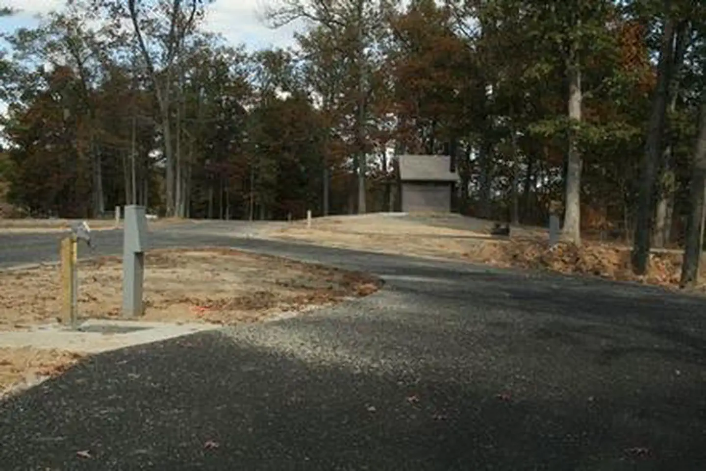 Oak Hill - Lake VesuviusLake fishing3.6 mi
- Oak Hill CampgroundCamping3.8 mi
- The RockRock climbing4.2 mi
- The Dam WallRock climbing4.3 mi
Source: Roamze catalog (indexable pages within 10 miles, PostGIS distance)
 Symmes CreekCanoeing · ~36 min drivePhoto: Tim Kiser (w:User:Malepheasant), CC BY-SA 2.5 (via Wikimedia Commons)
- Vesuvius Boat DockBoat launch · ~7 min drive
 Leading CreekCanoeing · ~1h 13m drivePhoto: Tim Kiser (Wikipedia user Malepheasant), CC BY-SA 3.0 (via Wikimedia Commons)
- Greenup Ky Boat RampBoat launch · ~16 min drive
- Pine CreekCanoeing · ~13 min drive
- Timbre Ridge Boat LaunchBoat launch · ~29 min drive
- Holland ForkCanoeing · ~29 min drive
- Mud River AccessBoat launch · ~52 min drive
- Black ForkCanoeing · ~30 min drive
- Buffalo Boat RampBoat launch · ~1h 5m drive
Best time to visit Little Pine Creek
Best months: August–October. Best months have typical highs of 55–85 °F, lows of 30 °F or warmer (32 °F where the station doesn't record snow), at most one snowy day and no more than 12 wet days.
Jan
41° / 20°
13 wet
Feb
45° / 22°
12 wet
Mar
54° / 29°
13 wet
Apr
67° / 38°
13 wet
May
75° / 49°
15 wet
Jun
83° / 57°
13 wet
Jul
86° / 62°
12 wet
Aug
85° / 60°
11 wet
Sep
79° / 52°
10 wet
Oct
68° / 40°
10 wet
Nov
55° / 30°
11 wet
Dec
45° / 25°
13 wet
Typical high / low (°F) and days with rain or snow, 1991–2020. Measured at Waterloo, OH, 12.5 mi away at 625 ft. This station doesn't record snowfall. Source: NOAA NCEI U.S. Climate Normals 1991–2020.

