Michael Tygart Trail
- 8.0 mi
- round trip
- 2,730 ft
- climb
- 1,009 ft
- high point
- Out and back
- route
- Aug–Nov
- best months
The Michael Tygart Trail is a 16-mile out-and-back hike in Greenbo Lake State Resort Park in Kentucky, managed by State Park and Recreation. The route starts at 607 feet and climbs steadily to a high point of 1,009 feet, with a total elevation gain of 2,730 feet over the full trip. The steepest stretch comes at about 1.2 miles in, where the grade reaches 21 percent. The trail is rated expert, and the round trip takes about 6.5 hours. Spring and fall are the most comfortable times to go. Typical averages from a nearby weather station at Warnock put October highs around 69°F with lows near 42°F, and May highs around 76°F. July is the warmest month, with highs near 86°F. Several other trails sit close by. The Fern Valley Nature trail is 0.7 miles away, the Carpenters Run Horse Trail is 0.9 miles away, and the Claylick Loop Mountain Bike Trail is 1.3 miles away. The Shingle Mill Hollow Loop Trail is about 4.9 miles off.
- Fern Valley Nature trailHiking0.7 mi
- Carpenters Run Horse TrailHiking0.9 mi
- Claylick Loop Mountain Bike TrailHiking1.3 mi
- Shingle Mill Hollow Loop TrailHiking4.9 mi
Source: Roamze catalog (indexable pages within 10 miles, PostGIS distance)
 Hanging Rock TrailHiking · ~19 min drivePhoto: Wayne National Forest, Public Domain Mark (via Flickr)
- Copperhead TrailHiking · ~19 min drivePhoto: Wayne National Forest, Public Domain Mark (via Flickr)
 Lakeview TrailHiking · ~19 min drivePhoto: Wayne National Forest, Public Domain Mark (via Flickr)
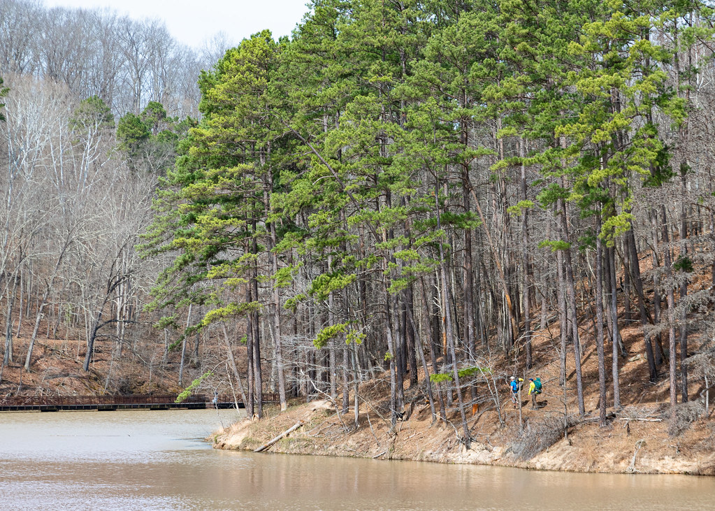 Lake ShoreHiking · ~28 min drivePhoto: Wayne National Forest, Public Domain Mark (via Flickr)
- Power Line TrailHiking · ~20 min drivePhoto: Wayne National Forest, Public Domain Mark (via Flickr)
- Sawmill TrailHiking · ~20 min drivePhoto: Wayne National Forest, Public Domain Mark (via Flickr)
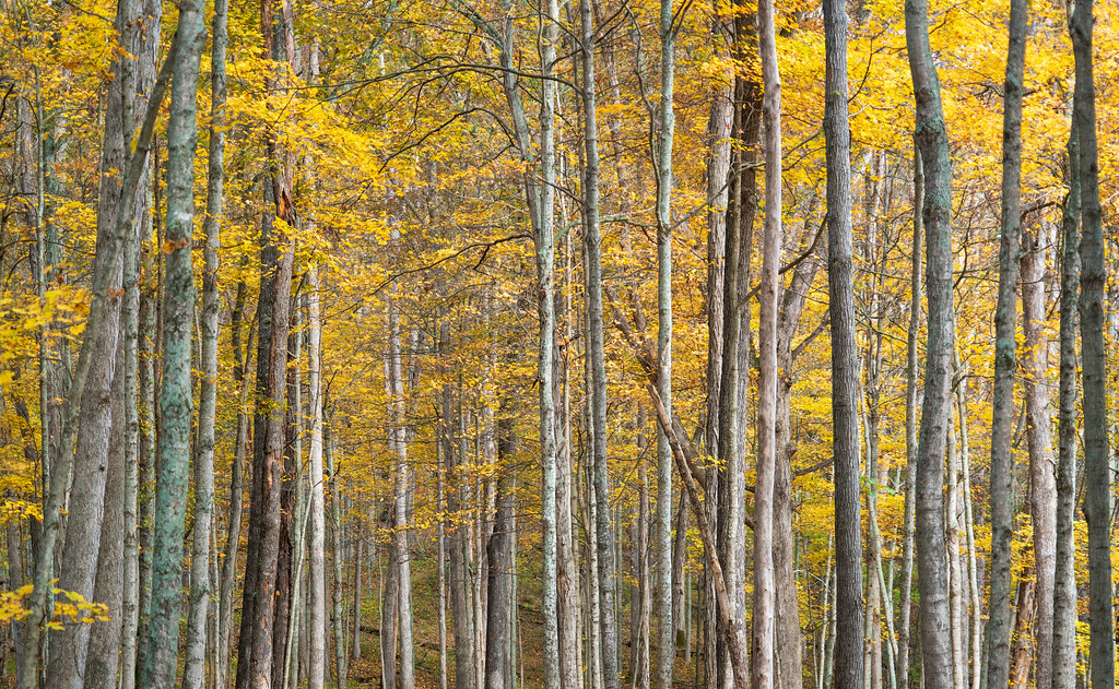 Vesuvius Main LoopHiking · ~30 min drivePhoto: Wayne National Forest, Public Domain Mark (via Flickr)
- 4 C's TrailHiking · ~27 min drive
 Yellow TrailHiking · ~23 min drivePhoto: hcampsey, CC BY-SA 3.0 (via Wikimedia Commons)
 Vesuvius Backpack TrailHiking · ~28 min drivePhoto: Wayne National Forest, Public Domain Mark (via Flickr)
Best time to visit Michael Tygart Trail
Best months: August–November. Best months have typical highs of 55–85 °F, lows of 30 °F or warmer (32 °F where the station doesn't record snow), at most one snowy day and no more than 12 wet days.
Jan
42° / 24°
14 wet
Feb
46° / 26°
13 wet
Mar
56° / 32°
14 wet
Apr
69° / 41°
14 wet
May
76° / 50°
14 wet
Jun
82° / 59°
13 wet
Jul
86° / 63°
14 wet
Aug
85° / 61°
12 wet
Sep
80° / 55°
10 wet
Oct
69° / 42°
11 wet
Nov
57° / 32°
12 wet
Dec
47° / 28°
14 wet
Typical high / low (°F) and days with rain or snow, 1991–2020. Measured at Warnock 2, KY, 7.3 mi away at 910 ft. This station doesn't record snowfall. Source: NOAA NCEI U.S. Climate Normals 1991–2020.
Map and trail data © OpenStreetMap contributors
