Loading…

Free — you'll pick up right here.
Watch this trail
Sign up to watch it — saving subscribes you to gate, closure and report changes.
North Dakota
1.4 mi
Distance
345 ft
Gain
31 min
Time
Agency alerts are in effect for this area; weather is marginal
2 factors · 2 sources
Newest 37 min ago · oldest 14 d
caution: Agency alerts
10 active alerts in Dakota Prairie Grasslands; most severe: Little Missouri National Grassland - Fire Restriction Order 01-18-00-26-08
USFS14 d ago
caution: Weather
Rain, high 62°F / low 59°F, 100% precip — 65/100 for hike
OpenWeather37 min ago
Been out here in the last few days? One report keeps this current for everyone.
Why you'll love it
Coal Creek
AI-suggested draft · review before you go
No permit or access details on file for this trail — check with the local land manager before you go.
Coal Creek is a short out-and-back trail in North Dakota that offers an accessible hiking experience along a scenic creek corridor. This 1.38-mile route is ideal for families and casual hikers looking to explore the riparian landscape and enjoy the natural waterway that gives the trail its name.
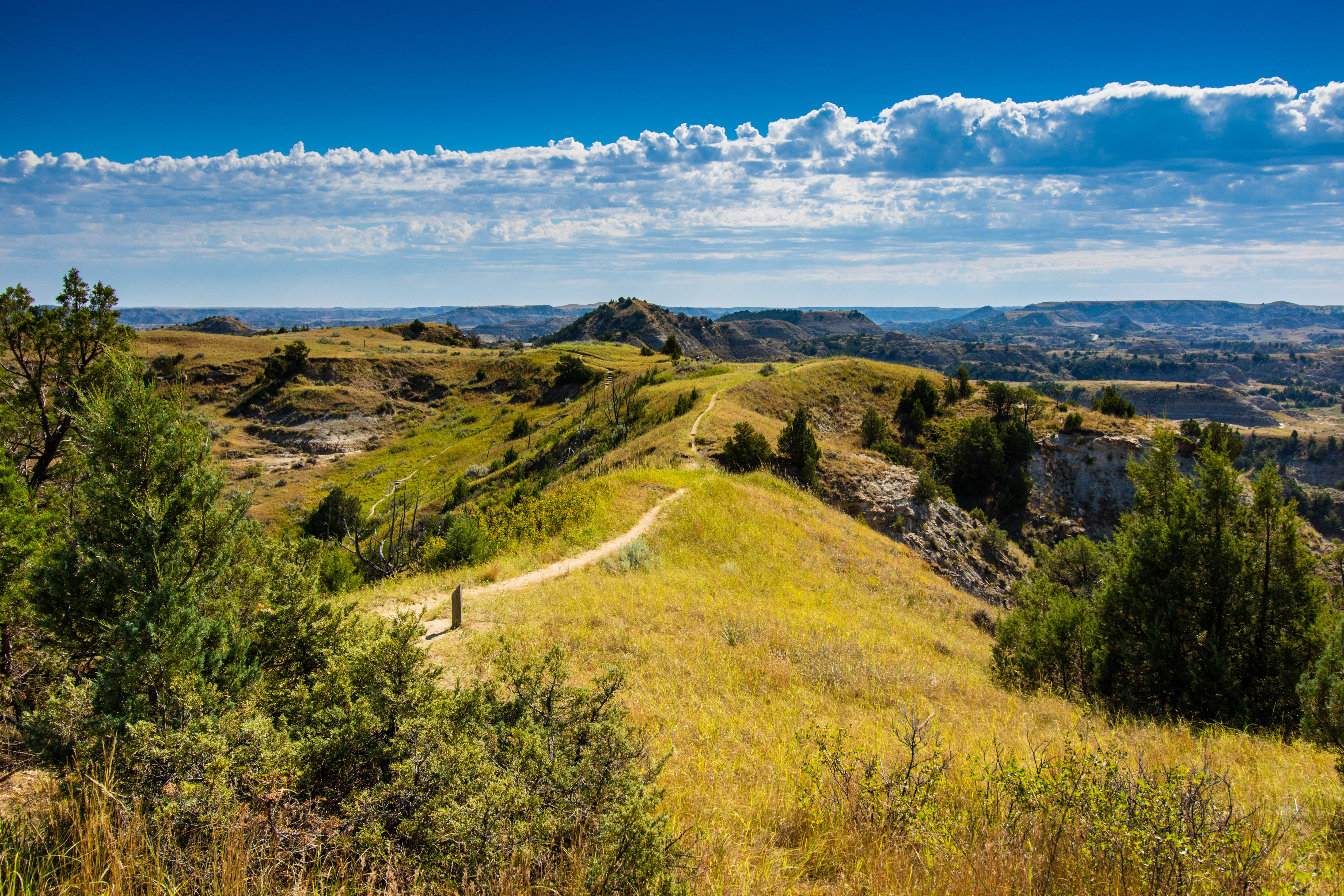
Ridgeline Nature Trail
~18 min drive
<table border="1" cellpadding="0" cellspacing="0" width="531"> <tbody> <tr> <td valign="top" width="252"> <p>Explore the badlands environment along a nature trail with moderate to steep grades. Take along a trail brochure, available at the trailhead, to learn as you adventure.…
Buffalo Gap Loop
~25 min drive
Easy 2.68-mile loop through North Dakota's scenic Buffalo Gap area.
Buffalo Gap
~29 min drive
Moderate 11.90-mile out-and-back badlands hike through scenic canyon terrain.
Ice Caves
~1h 4m drive
3-mile out-and-back hike to natural ice cave formations in North Dakota badlands.
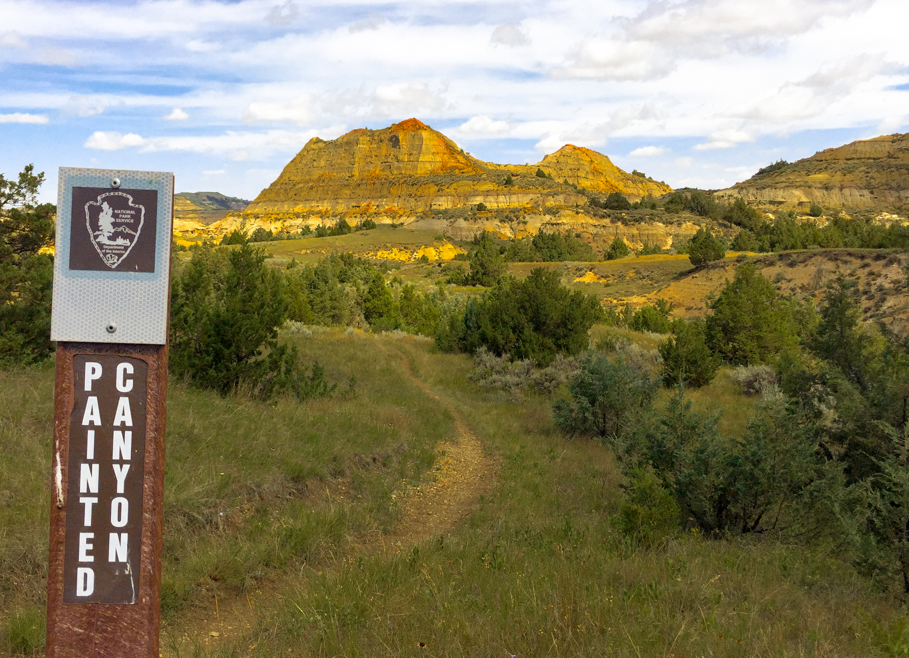
Painted Canyon Trail
~18 min drive
<p>Just before you lies the beginning of the Painted Canyon Trail! This 4.3-mile-long trail offers a great pathway into the canyon I just discussed. You will descend to the canyon floor, where you will be able to fully experience the great scenery Painted Canyon has to offer.…
Maah Daah Hey - North Dakota
~1h 18m drive
Point-to-point badlands trail featuring dramatic formations and prairie views.
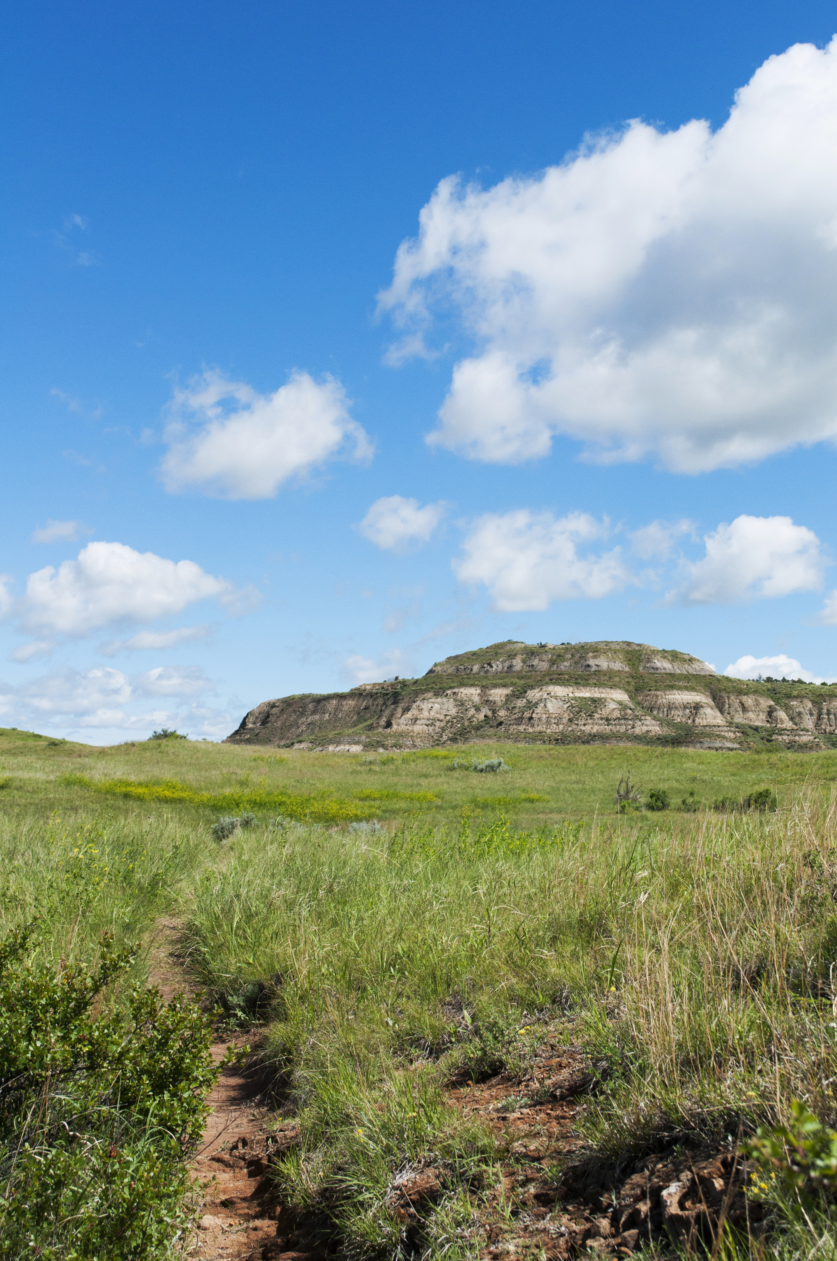
Coal Vein Trail Post 14: Grassland
~19 min drive
When the underground coal fire was burning, this area looked more like a wasteland than a grassland. After the fire burned out, prairie plants reclaimed the land slowly over time.<br /> <br /> From a distance, prairie may look plain, but it is actually one of the most diverse…
Cottonwood
~1h 20m drive
13.86-mile out-and-back badlands hike with expansive prairie views.
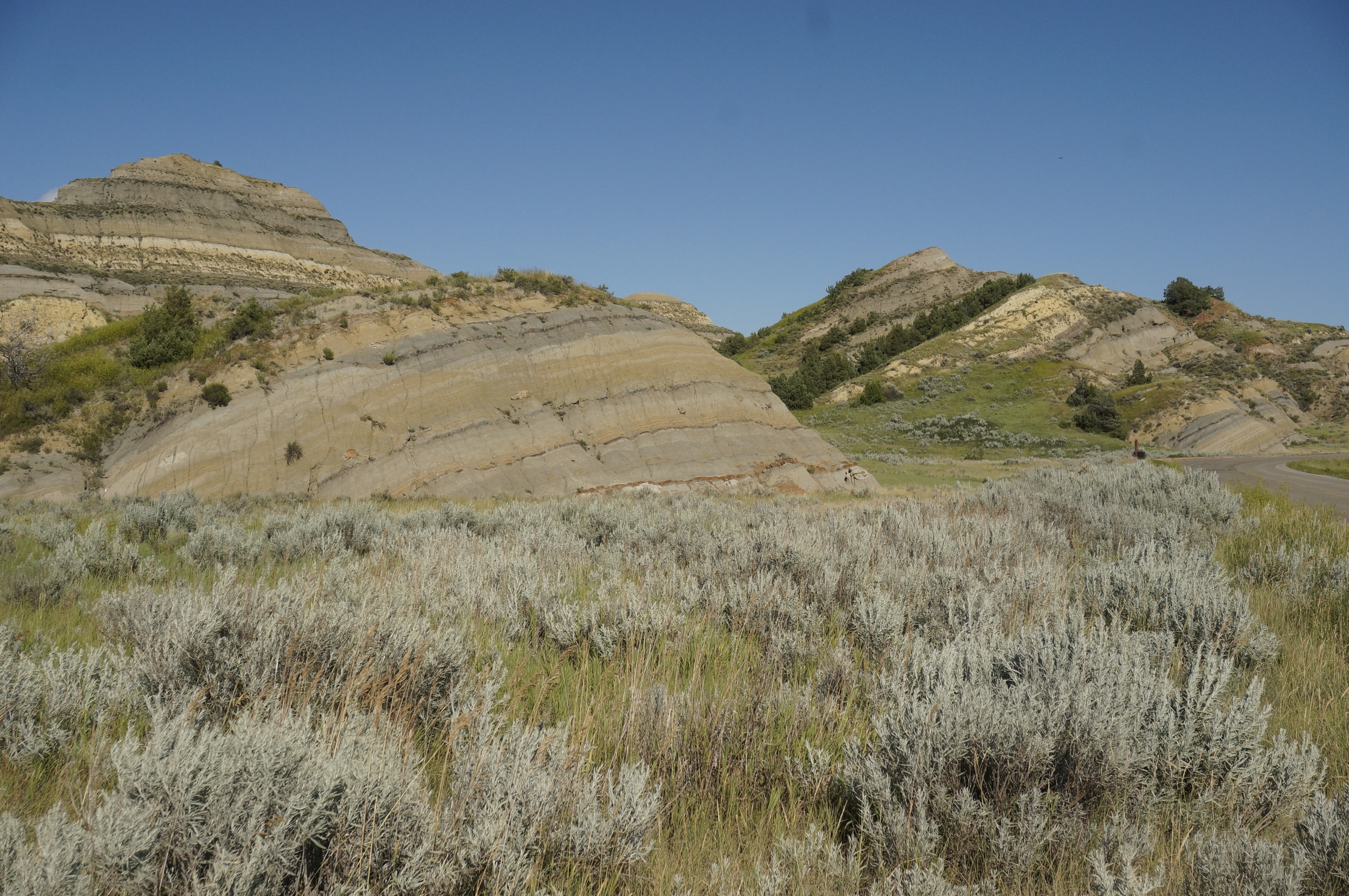
Coal Vein Trail Post 13: Slumping
~19 min drive
The hill in front of you has the appearance of sliding slowly into a jumble. That is exactly what it is doing through a process called slumping.<br /> <br /> When the coal vein burned under this area, cracks formed in the hillside. Rain flowing into the cracks weakens the hill…
Bennett
~1h 25m drive
6.12-mile out-and-back prairie hike near Bennett, North Dakota.