Birdstand Mountain
- 5,310 ft
- summit
Is Birdstand Mountain open right now?
Closure in the area
There's a closure order in National Forests in North Carolina. It doesn't name Birdstand Mountain, so check the source for the area it covers (2 listed).
Maple Sally Road Closure
Agency closure covering National Forests in North Carolina · USFS · National Forests in North Carolina
Table Rock Road construction starts Nov. 2, 2026
Agency closure covering National Forests in North Carolina · USFS · National Forests in North Carolina
Temporary Closure - The Elk Falls Trail
Agency alert covering National Forests in North Carolina · USFS · National Forests in North Carolina
Rainbow Springs Road closed for reconstruction
Agency alert covering National Forests in North Carolina · USFS · National Forests in North Carolina
Siddie Fields Day Use Area closed for improvements
Agency alert covering National Forests in North Carolina · USFS · National Forests in North Carolina
As of · Source: USFS · National Forests in North Carolina. Agencies don't list every closure — check before you go.
Birdstand Mountain is a summit in the Shining Rock Wilderness, part of the Pisgah Ranger District of the National Forests in North Carolina. The nearest town is Waynesville, about 10 miles away. The closest options nearby are the Little East Fork hike, about 1.4 miles away, and the Victory Wall climbing area at about 1.6 miles. Fork Mountain is about 2.1 miles off, and the Blue Ridge Motorcycle Campgrounds sit about 6 miles away for anyone looking for a place to stay.
Conditions and forecast
Daily highs and lows, wind and the chance of precipitation at the summit for the next 7 days, from the Open-Meteo model.
- Summit elevation
- 5,310 ft
Elevation from USGS 3D Elevation Program terrain data (about 10 m resolution).
We don't know of a mapped trail or route to the summit of Birdstand Mountain. Plan the approach with local maps, a guidebook or a local guide, and check conditions before you go.
Questions about Birdstand Mountain
How tall is Birdstand Mountain?
5,310 ft (1,618 m).
Is there a trail to the top of Birdstand Mountain?
We don't know of a mapped trail or route to the summit. Plan the approach with local maps, a guidebook or a local guide.
- Sam Knob6,078 ft · North Carolina1 route2.2 mi away
- Shining Rock5,983 ft · North Carolina1 route2.4 mi away
- Green Knob5,908 ft · North Carolina1 route2.4 mi away
- Grassy Cove Top6,039 ft · North Carolina1 route2.4 mi away
- Tennent Mountain6,067 ft · North Carolina1 route2.5 mi away
 Black Balsam Knob6,211 ft · North Carolina1 route2.8 mi awayPhoto: Badgettrg at en.wikipedia, CC BY-SA 3.0 (via Wikimedia Commons)
- Little East ForkHiking1.4 mi
- Victory WallRock climbing1.6 mi
- Fork MountainHiking2.1 mi
- Blue Ridge Motorcycle CampgroundsCamping6 mi
 Upper Cove Creek Roadside CampsitesCampingPhoto: Wncoutdoors, CC BY-SA 3.0 (via Wikimedia Commons)6.2 mi
 Looking Glass BouldersRock climbingPhoto: Osajus Photography, CC BY 2.0 (via Flickr)7.2 mi
- Davidson RiverCanoeing7.5 mi
- North Fork French Broad RiverCanoeing9 mi
Source: Roamze catalog (indexable pages within 10 miles, PostGIS distance)
- Black Balsam KnobSummit · ~5 min drivePhoto: Badgettrg at en.wikipedia, CC BY-SA 3.0 (via Wikimedia Commons)
 Devils CourthouseSummit · ~7 min drivePhoto: bradploeger, CC BY-SA 2.0 (via Wikimedia Commons)
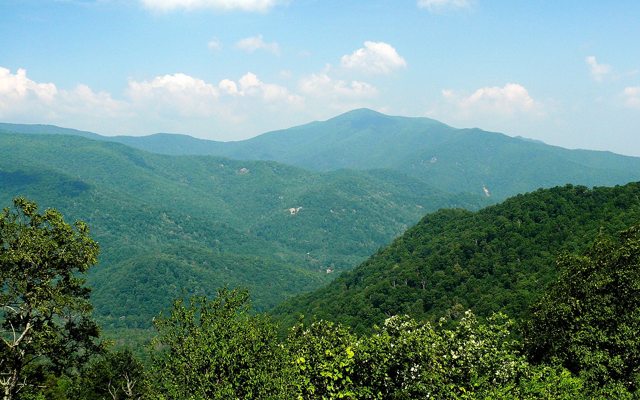 Cold MountainSummit · ~7 min drivePhoto: Ken Thomas, Public domain (via Wikimedia Commons)
 Looking Glass RockSummit · ~13 min drivePhoto: bradploeger, CC BY-SA 2.0 (via Wikimedia Commons)
 Clawhammer MountainSummit · ~16 min drivePhoto: U.S. Fish and Wildlife Service Southeast Region, Public domain (via Wikimedia Commons)
 Doubletop MountainSummit · ~20 min drivePhoto: Thomson200, CC0 (via Wikimedia Commons)
 North Eaglenest MountainSummit · ~21 min drivePhoto: Daniel Hass, CC BY-SA 3.0 (via Wikimedia Commons)
 Mount Lyn LowrySummit · ~23 min drivePhoto: Thomson200, CC0 (via Wikimedia Commons)
- Fork MountainSummit · ~2 min drive
- Stairs MountainSummit · ~4 min drive
Also worth it near here


