Buckhorn Gap Shelter
Campground
Campground · 0.9 mi from the trail
 Photo: U.S. Fish and Wildlife Service Southeast Region, Public domain (via Wikimedia Commons)
Closure in the area
There's a closure order in National Forests in North Carolina. It doesn't name Clawhammer Mountain, so check the source for the area it covers (2 listed).
Maple Sally Road Closure
Agency closure covering National Forests in North Carolina · USFS · National Forests in North Carolina
Table Rock Road construction starts Nov. 2, 2026
Agency closure covering National Forests in North Carolina · USFS · National Forests in North Carolina
Temporary Closure - The Elk Falls Trail
Agency alert covering National Forests in North Carolina · USFS · National Forests in North Carolina
Rainbow Springs Road closed for reconstruction
Agency alert covering National Forests in North Carolina · USFS · National Forests in North Carolina
Siddie Fields Day Use Area closed for improvements
Agency alert covering National Forests in North Carolina · USFS · National Forests in North Carolina
As of · Source: USFS · National Forests in North Carolina. Agencies don't list every closure — check before you go.
Clawhammer Mountain is a summit of about 4,138 feet in Transylvania County, North Carolina, within the Pisgah Ranger District of the National Forests in North Carolina. The nearest town is Brevard, about 6 miles away. Squirrel Gap and Twin Falls are both hikes about a mile away. The South Fork Mills River offers canoeing about a mile off, and Upper Cove Creek Roadside Campsites is about 4 miles away for an overnight stay.
Buckhorn Gap Shelter
Campground
 If it rainsMx. Granger, CC0 · Wikimedia Commons
Places © OpenStreetMap contributors · Photos: Mx. Granger, CC0 (commons)
More in HendersonvilleDaily highs and lows, wind and the chance of precipitation at the summit for the next 7 days, from the Open-Meteo model.
Elevation from USGS 3D Elevation Program terrain data (about 10 m resolution).
We don't know of a mapped trail or route to the summit of Clawhammer Mountain. Plan the approach with local maps, a guidebook or a local guide, and check conditions before you go.
4,138 ft (1,261 m).
We don't know of a mapped trail or route to the summit. Plan the approach with local maps, a guidebook or a local guide.

 Squirrel GapHikingPhoto: zappowbang, CC BY-SA 2.0 (via Flickr)0.9 mi
 North SideRock climbingPhoto: ninepennies, CC BY-SA 2.0 (via Flickr)3.4 miNorthside BouldersRock climbingPhoto: ninepennies, CC BY-SA 2.0 (via Flickr)3.4 mi
 Upper Cove Creek Roadside CampsitesCampingPhoto: Wncoutdoors, CC BY-SA 3.0 (via Wikimedia Commons)4.3 mi
Source: Roamze catalog (indexable pages within 10 miles, PostGIS distance)
Looking Glass RockSummit · ~6 min drivePhoto: bradploeger, CC BY-SA 2.0 (via Wikimedia Commons) Black Balsam KnobSummit · ~13 min drivePhoto: Badgettrg at en.wikipedia, CC BY-SA 3.0 (via Wikimedia Commons)
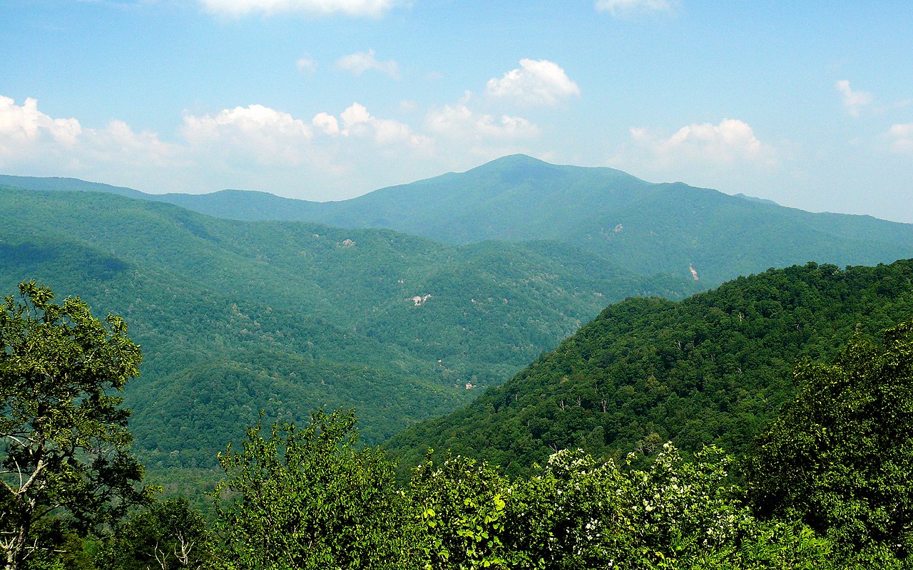 Cold MountainSummit · ~14 min drivePhoto: Ken Thomas, Public domain (via Wikimedia Commons)
 Devils CourthouseSummit · ~15 min drivePhoto: bradploeger, CC BY-SA 2.0 (via Wikimedia Commons)

