North Eaglenest Mountain
 Photo: Daniel Hass, CC BY-SA 3.0 (via Wikimedia Commons)
- 5,075 ft
- summit
- Sep–Oct
- best months
North Eaglenest Mountain is a summit in North Carolina, rising to 5,075 feet about 2 miles from the town of Maggie Valley. It sits among a cluster of high-country trails and campgrounds in the state's western mountains. Summer is the most comfortable time to visit. Typical averages from the nearby Newfound Gap weather station, at a similar elevation, show July highs around 74°F with lows near 57°F, while winter highs stay in the upper 30s and 40s. Several trails lie within a short drive. The Plott Balsam Trail is about 3 miles away, the Mountains-to-Sea Trail about 4.5 miles, and the Lyn Lowry Trail and Waterrock Knob Trail are both within about 6 miles. For an overnight stay, Balsam Mountain Campground is roughly 9 miles off.
Conditions and forecast
Daily highs and lows, wind and the chance of precipitation at the summit for the next 7 days, from the Open-Meteo model.
- Summit elevation
- 5,075 ft
Elevation from USGS 3D Elevation Program terrain data (about 10 m resolution).
We don't know of a mapped trail or route to the summit of North Eaglenest Mountain. Plan the approach with local maps, a guidebook or a local guide, and check conditions before you go.
Questions about North Eaglenest Mountain
How tall is North Eaglenest Mountain?
5,075 ft (1,547 m).
Is there a trail to the top of North Eaglenest Mountain?
We don't know of a mapped trail or route to the summit. Plan the approach with local maps, a guidebook or a local guide.
- Plott Balsam6,095 ft · North Carolina1 route3.0 mi away
 Mount Lyn Lowry6,241 ft · North Carolina1 route4.6 mi awayPhoto: Thomson200, CC0 (via Wikimedia Commons)
- Wesner Bald5,643 ft · North Carolina1 route5.3 mi away
- Browning Knob6,253 ft · North Carolina2 routes5.7 mi away
- Waterrock Knob6,289 ft · North Carolina2 routes6.0 mi away
- Flat Creek Bald5,251 ft · North Carolina1 route9.1 mi away
- Plott Balsam TrailHiking3.2 mi
 Mountains-to-Sea TrailHikingPhoto: 5chw4r7z, CC BY-SA 2.0 (via Flickr)4.5 mi
 Lyn Lowry TrailHikingPhoto: pseabolt, CC BY 3.0 (via Wikimedia Commons)5.7 mi
- Browning Knob TrailHikingPhoto: pseabolt, CC BY 3.0 (via Wikimedia Commons)5.9 mi
 Waterrock Knob TrailHikingPhoto: pseabolt, CC BY 3.0 (via Wikimedia Commons)6.1 mi
 Balsam Mountain CampgroundCampingPhoto: Recreation.gov (RIDB) / public domain8.7 mi
 Pigeon RiverCanoeingPhoto: ChristopherM, CC BY-SA 3.0 (via Wikimedia Commons)9 mi
- Bunches CreekCanoeing9.9 mi
Source: Roamze catalog (indexable pages within 10 miles, PostGIS distance)
- Mount Lyn LowrySummit · ~8 min drivePhoto: Thomson200, CC0 (via Wikimedia Commons)
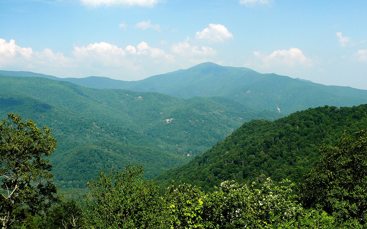 Cold MountainSummit · ~21 min drivePhoto: Ken Thomas, Public domain (via Wikimedia Commons)
 Black Balsam KnobSummit · ~26 min drivePhoto: Badgettrg at en.wikipedia, CC BY-SA 3.0 (via Wikimedia Commons)
 Doubletop MountainSummit · ~27 min drivePhoto: Thomson200, CC0 (via Wikimedia Commons)
 Devils CourthouseSummit · ~27 min drivePhoto: bradploeger, CC BY-SA 2.0 (via Wikimedia Commons)
 Marks KnobSummit · ~29 min drivePhoto: Brian Stansberry, CC BY 3.0 (via Wikimedia Commons)
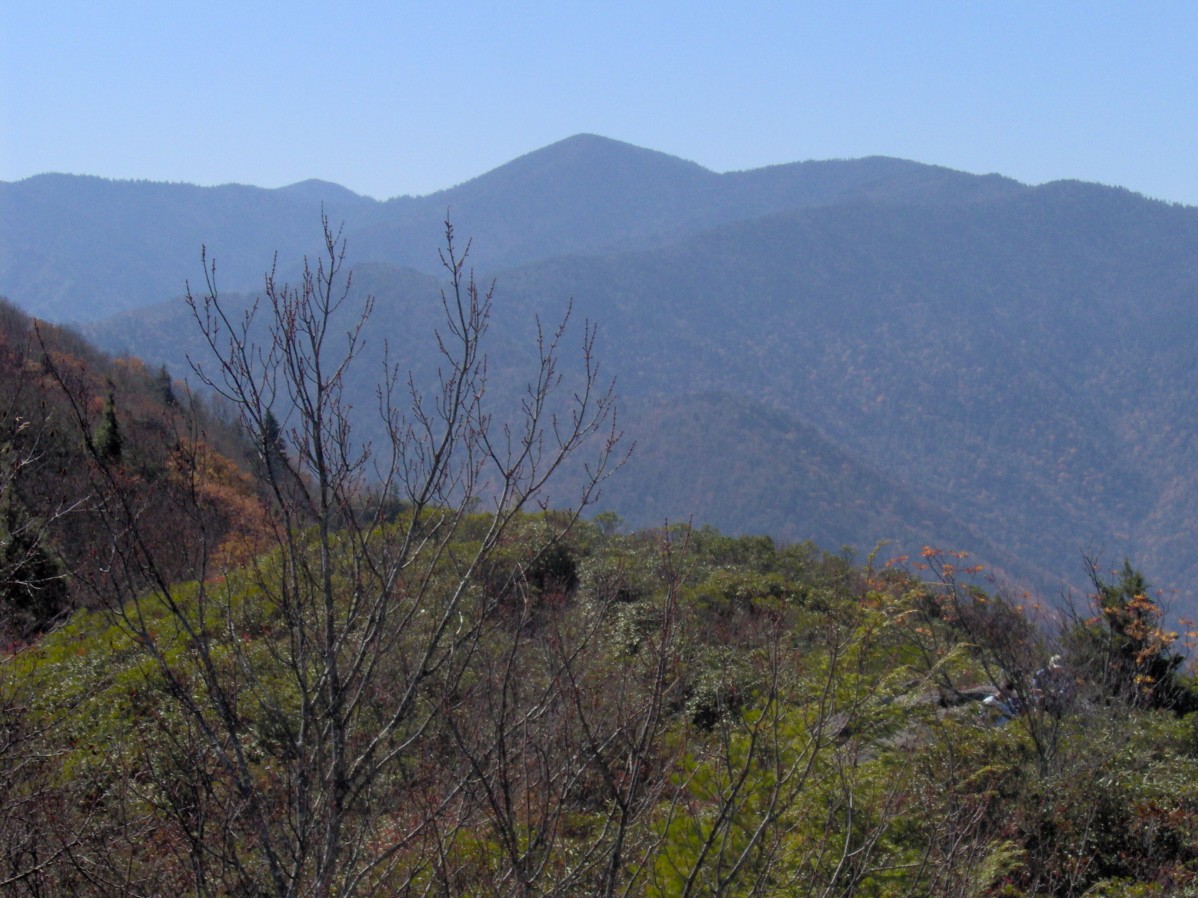 Mount GuyotSummit · ~32 min drivePhoto: Brian Stansberry, CC BY 2.5 (via Wikimedia Commons)
 Looking Glass RockSummit · ~33 min drivePhoto: bradploeger, CC BY-SA 2.0 (via Wikimedia Commons)
- Plott BalsamSummit · ~5 min drive
- Wesner BaldSummit · ~9 min drive
Also worth it near here
Best time to visit North Eaglenest Mountain
Best months: September–October. Best months have typical highs of 55–85 °F, lows of 30 °F or warmer (32 °F where the station doesn't record snow), at most one snowy day and no more than 12 wet days.
Jan
39° / 22°
13 wet
Feb
42° / 25°
12 wet
Mar
49° / 30°
13 wet
Apr
58° / 38°
13 wet
May
66° / 47°
15 wet
Jun
71° / 54°
16 wet
Jul
74° / 57°
16 wet
Aug
72° / 56°
14 wet
Sep
68° / 51°
11 wet
Oct
59° / 41°
10 wet
Nov
50° / 32°
10 wet
Dec
43° / 27°
12 wet
Typical high / low (°F) and days with rain or snow, 1991–2020. Measured at Newfound Gap, TN, 23.1 mi away at 5,040 ft. This station doesn't record snowfall. Source: NOAA NCEI U.S. Climate Normals 1991–2020.
