CH-2
Campground
Campground · 2.2 mi from the trail
 Photo: bradploeger, CC BY-SA 2.0 (via Wikimedia Commons)
Closure in the area
There's a closure order in National Forests in North Carolina. It doesn't name Devils Courthouse, so check the source for the area it covers (2 listed).
Maple Sally Road Closure
Agency closure covering National Forests in North Carolina · USFS · National Forests in North Carolina
Table Rock Road construction starts Nov. 2, 2026
Agency closure covering National Forests in North Carolina · USFS · National Forests in North Carolina
Temporary Closure - The Elk Falls Trail
Agency alert covering National Forests in North Carolina · USFS · National Forests in North Carolina
Rainbow Springs Road closed for reconstruction
Agency alert covering National Forests in North Carolina · USFS · National Forests in North Carolina
Siddie Fields Day Use Area closed for improvements
Agency alert covering National Forests in North Carolina · USFS · National Forests in North Carolina
As of · Source: USFS · National Forests in North Carolina. Agencies don't list every closure — check before you go.
Devils Courthouse is a summit in Transylvania County, North Carolina, on the Blue Ridge Parkway. It sits where the parkway meets the Pisgah Ranger District of the National Forests in North Carolina. The nearest town is Balsam Grove, about 5 miles away, which makes it a convenient stop for anyone exploring this stretch of the parkway and the surrounding national forest. Because the summit touches both National Park Service and Forest Service land, visitors should know the rules on each side. Several other spots are close by. The Little Sam hike is about 1.2 miles off, and the Mst - Pisgah Rd hike is about 1.6 miles away. Climbers can head to Victory Wall, roughly 2.5 miles away. For camping, the Upper Cove Creek Roadside Campsites are about 4.7 miles from the summit.
CH-2
Campground
Sunset Rock
Viewpoint
Cliff in Macon County, North Carolina, United States
Places © OpenStreetMap contributors
More in HighlandsDaily highs and lows, wind and the chance of precipitation at the summit and route start for the next 7 days, from the Open-Meteo model.
Elevation from USGS 3D Elevation Program terrain data (about 10 m resolution).
5,760 ft (1,756 m).
One: Devils Courthouse Trail.

 Little SamHikingPhoto: Jordan Mitchell, CC BY-SA 3.0 (via Wikimedia Commons)1.2 miMst - Pisgah RdHikingPhoto: Jordan Mitchell, CC BY-SA 3.0 (via Wikimedia Commons)1.6 mi
 Upper Cove Creek Roadside CampsitesCampingPhoto: Wncoutdoors, CC BY-SA 3.0 (via Wikimedia Commons)4.7 mi
 Looking Glass BouldersRock climbingPhoto: Osajus Photography, CC BY 2.0 (via Flickr)5.6 mi
 Wolf Creek Lake Dispersed CampsitesCampingPhoto: Honeybadgerhiking, CC BY-SA 4.0 (via Wikimedia Commons)7.3 mi
Source: Roamze catalog (indexable pages within 10 miles, PostGIS distance)
Black Balsam KnobSummit · ~4 min drivePhoto: Badgettrg at en.wikipedia, CC BY-SA 3.0 (via Wikimedia Commons) Looking Glass RockSummit · ~10 min drivePhoto: bradploeger, CC BY-SA 2.0 (via Wikimedia Commons)
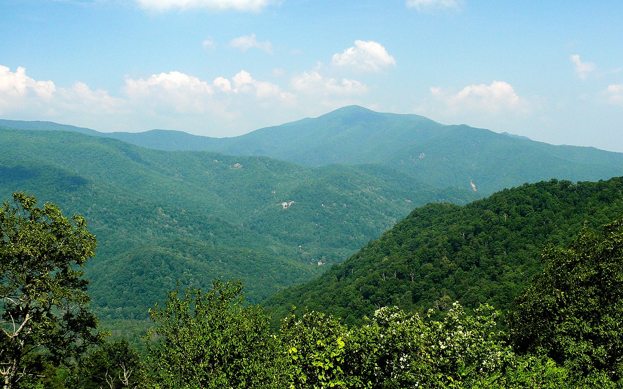 Cold MountainSummit · ~13 min drivePhoto: Ken Thomas, Public domain (via Wikimedia Commons)
 Clawhammer MountainSummit · ~15 min drivePhoto: U.S. Fish and Wildlife Service Southeast Region, Public domain (via Wikimedia Commons)
 Doubletop MountainSummit · ~19 min drivePhoto: Thomson200, CC0 (via Wikimedia Commons)
Also worth it near here
 Devils Courthouse TrailHiking · Next doorPhoto: w_lemay, CC BY-SA 2.0 (via Flickr)
 Courthouse FallsWaterfall · ~4 min drivePhoto: Jrichar3, CC BY 3.0 (via Wikimedia Commons)Upper Cove Creek Roadside CampsitesCamping · ~8 min drivePhoto: Wncoutdoors, CC BY-SA 3.0 (via Wikimedia Commons)
