 Photo: Dennis Brown (Dennis Brown), Public domain (via Wikimedia Commons)
North Carolina · Paddling
Paddling in North Carolina
469 spots9 townsUpdated weeklyFree to access
View on mapPaddling · 200 spots
Featured spots
Photo: Dennis Brown (Dennis Brown), Public domain (via Wikimedia Commons)Canoeing
Abbotts Creek
Thomasville, North Carolina
 Photo: Greenlindae, CC0 (via Wikimedia Commons)
Canoeing
Black River
Atkinson, North Carolina
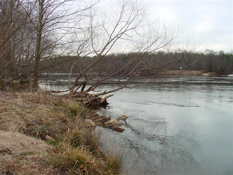 Photo: unknown/w:NOAA, Public domain (via Wikimedia Commons)
Canoeing
Broad River
Black Mountain, North Carolina
 Photo: James Willamor, CC BY-SA 3.0 (via Wikimedia Commons)
Canoeing
Crabtree Creek
Cary, North Carolina
 Photo: Burnie Batchelor, Photographer, Public domain (via Wikimedia Commons)
Canoeing
Deep River
Ramseur, North Carolina
All spots · 200 of 469 spots

Canoeing
Aarons Creek
Oxford, North Carolina
Canoeing
Ahoskie Creek
Ahoskie, North Carolina

Boat launch
Alexander River Park Access
North Carolina

Boat launch
Altamahaw Paddle Access
North Carolina

Boat launch
Altamahaw Paddle Access
North Carolina
Canoeing
Ararat River Paddle Trail
North Carolina
Canoeing
Armstrong Creek
Marion, North Carolina

Boat launch
Astoria Boat Ramp
North Carolina

Boat launch
Avery Branch Boat Ramp
North Carolina
Canoeing
Back Creek
Haw River, North Carolina
Boat launch
Badin Lake Boat Ramp
North Carolina
Canoeing
Bald Mountain Creek
Burnsville, North Carolina
Boat launch
Barnard Park Boat Ramp
North Carolina
Boat launch
Barnard Park Raft Launch
North Carolina
Canoeing
Bat Fork
East Flat Rock, North Carolina
Canoeing
Bear Creek
Bear Creek, North Carolina
Canoeing
Bear Creek
La Grange, North Carolina
Canoeing
Bear Island Trail
North Carolina
Boat launch
Beatty Ford Access Area
North Carolina
Canoeing
Beaver Creek
Raeford, North Carolina
Canoeing
Beaver Creek
Trenton, North Carolina
Canoeing
Beaverdam Creek
Sugar Grove, North Carolina
Canoeing
Belews Creek
Belews Creek, North Carolina
Canoeing
Bennetts Creek
Sunbury, North Carolina
Keep exploring — more water worth the drive
Photo: Dennis Brown (Dennis Brown), Public domain (via Wikimedia Commons)Abbotts Creek
~37 min drive
Abbotts Creek is a 22-mile paddling stretch near Thomasville, North Carolina. It flows year-round. USGS models an average flow of about 191 cfs and a gradient of about 9.0 feet per mile.
York Hill Yadkin River Access
~21 min drive
York Hill Yadkin River Access is a boat launch in North Carolina.
Uwharrie National Forest
~46 min drive
A worthwhile stop near North Carolina.
Photo: Burnie Batchelor, Photographer, Public domain (via Wikimedia Commons)Deep River
~54 min drive
Deep River is a 0.1-mile paddling stretch near Ramseur, North Carolina. It flows year-round. USGS models an average flow of about 446 cfs.
Badin Lake Boat Ramp
~28 min drive
Badin Lake Boat Ramp is a boat launch in North Carolina.
Second Creek
~22 min drive
Second Creek is a 12-mile paddling stretch near Rockwell, North Carolina. It flows year-round. USGS models an average flow of about 41 cfs and a gradient of about 12.6 feet per mile.
Rowan County Pump Station Access
~28 min drive
Rowan County Pump Station Access is a boat launch in North Carolina.
Hamby Creek
~25 min drive
Hamby Creek is a 10-mile paddling stretch near Thomasville, North Carolina. It flows year-round. USGS models an average flow of about 89 cfs and a gradient of about 15.5 feet per mile.
US 64 River Access
~32 min drive
US 64 River Access is a boat launch in North Carolina.
Uwharrie River
~31 min drive
Uwharrie River is a 16-mile paddling stretch near Trinity, North Carolina. It flows year-round. USGS models an average flow of about 48 cfs and a gradient of about 19.4 feet per mile.
Boone's Cave Access
~32 min drive
Boone's Cave Access is a boat launch in North Carolina.
Long Creek
~32 min drive
Long Creek is a 20-mile paddling stretch near Albemarle, North Carolina. It flows year-round. USGS models an average flow of about 107 cfs and a gradient of about 15.5 feet per mile.

