Bald Mountain
- 950 ft
- summit
- 1
- way up
- Feb–Jun, Sep–Nov
- best months
Bald Mountain is a summit in North Carolina, about 6 miles from the town of Richfield. The Bald Mountain Trail begins just 0.3 miles away and is the closest way to reach the peak. Spring and fall are the most comfortable times to go. Typical averages from a nearby weather station in Albemarle show October highs around 73°F with lows near 50°F, and April is similar at about 72°F by day and 48°F at night. Several outings lie within about 10 miles. Joshua Rock Walk and Kidron Valley Walk are both close to 9 miles out. Badin Lake Campground and the Badin Lake Recreation Area are a little under 10 miles away and add camping and lake fishing to a trip.
Conditions and forecast
Daily highs and lows, wind and the chance of precipitation at the summit and route start for the next 7 days, from the Open-Meteo model.
- Summit elevation
- 950 ft
Elevation from USGS 3D Elevation Program terrain data (about 10 m resolution).
Map © Mapbox © OpenStreetMap contributors Questions about Bald Mountain
How tall is Bald Mountain?
950 ft (290 m).
How many routes go to the summit of Bald Mountain?
One: Bald Mountain Trail.
- Fall Mountain740 ft · North Carolina1 route13 mi away
- Daniel Mountain871 ft · North Carolina1 route13 mi away
- Hattaway Mountain843 ft · North Carolina1 route13 mi away
- King Mountain1,009 ft · North Carolina1 route14 mi away
- Little Long Mountain923 ft · North Carolina1 route14 mi away
- Bunnel Mountain612 ft · North Carolina1 route14 mi away
- Bald Mountain TrailHiking0.3 mi
- Joshua Rock WalkHiking8.7 mi
- Kidron Valley WalkHiking8.7 mi
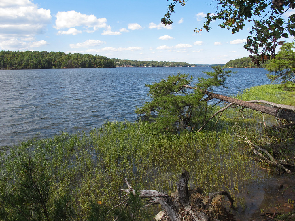 BADIN LAKEHikingPhoto: pmuellr, CC BY 2.0 (via Flickr)9.1 mi
- Psalm 23 TrailHiking9.2 mi
 Badin Lake CampgroundCampingPhoto: Nyttend, Public domain (via Wikimedia Commons)9.6 mi
- Badin Lake Recreation AreaLake fishing9.6 mi
- Badin Lake Group CampgroundCampingPhoto: Nyttend, Public domain (via Wikimedia Commons)9.6 mi
Source: Roamze catalog (indexable pages within 10 miles, PostGIS distance)
 Pisgah HillSummit · ~1h 16m drivePhoto: EmCnNC, CC BY-SA 3.0 (via Wikimedia Commons)
- Fall MountainSummit · ~22 min drive
- Daniel MountainSummit · ~22 min drive
- Hattaway MountainSummit · ~23 min drive
- Sugarloaf MountainSummit · ~24 min drive
- Little Long MountainSummit · ~24 min drive
- Bunnel MountainSummit · ~24 min drive
- Horse MountainSummit · ~25 min drive
- Morrow MountainSummit · ~25 min drive
- Walker MountainSummit · ~29 min drive
Best time to visit Bald Mountain
Best months: February–June and September–November. Best months have typical highs of 55–85 °F, lows of 30 °F or warmer (32 °F where the station doesn't record snow), at most one snowy day and no more than 12 wet days.
Jan
51° / 31°
8 wet
Feb
55° / 33°
7 wet
Mar
62° / 40°
8 wet
Apr
72° / 48°
7 wet
May
79° / 57°
7 wet
Jun
85° / 66°
8 wet
Jul
89° / 69°
8 wet
Aug
87° / 68°
8 wet
Sep
81° / 62°
6 wet
Oct
73° / 50°
6 wet
Nov
62° / 40°
6 wet
Dec
54° / 34°
8 wet
Typical high / low (°F) and days with rain or snow, 1991–2020. Measured at Albemarle, NC, 10.1 mi away at 610 ft. This station doesn't record snowfall. Source: NOAA NCEI U.S. Climate Normals 1991–2020.
