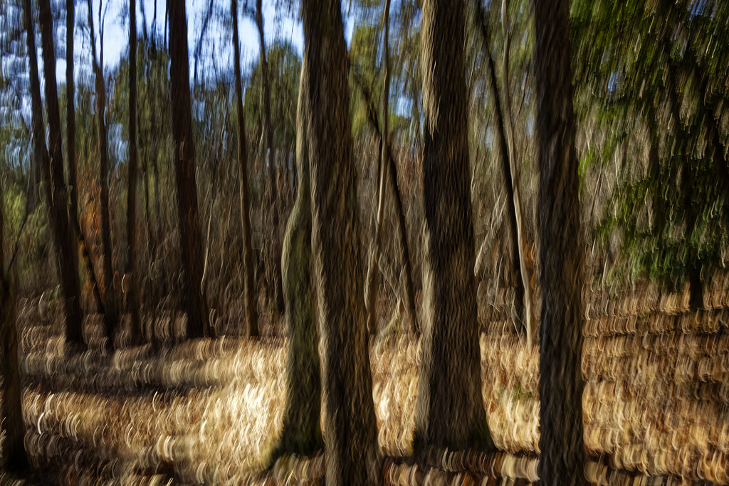
Uwharrie National Forest
- Feb–May, Sep–Dec
- best months
Caution at last check
Agency alerts are in effect for this area; weather is good · USFS, OpenWeather · checked 15 h ago
Is Uwharrie National Forest open right now?
Closure in the area
There's a closure order in National Forests in North Carolina. It doesn't name Uwharrie National Forest, so check the source for the area it covers (2 listed).
Maple Sally Road Closure
Agency closure covering National Forests in North Carolina · USFS · National Forests in North Carolina
Table Rock Road construction starts Nov. 2, 2026
Agency closure covering National Forests in North Carolina · USFS · National Forests in North Carolina
Pisgah National Forest Begins Removing Hazardous Fuel Left by Helene via Helicopters
Agency alert covering National Forests in North Carolina · USFS · National Forests in North Carolina
Temporary Closure - The Elk Falls Trail
Agency alert covering National Forests in North Carolina · USFS · National Forests in North Carolina
Rainbow Springs Road closed for reconstruction
Agency alert covering National Forests in North Carolina · USFS · National Forests in North Carolina
As of · Source: USFS · National Forests in North Carolina. Agencies don't list every closure — check before you go.
There are approximately 51,000 acres of National Forest System lands in Montgomery, Randolph and Davidson Counties. The Uwharrie National Forest includes the Uwharrie Ranger District Office, located at 789 NC Highway 24/27 East, Troy, NC 27371. At the district office you can obtain information about the area, get brouchures, camping information, trail passes, and permits. You can also obtain a Senior pass, Disabled Pass. We also have USGS Topo maps for sale.Primitive dispersed camping is allowed throughout the Forest, except in those areas that are posted "No Camping". These sites can be found along most of Forest Service roads and trails. Please remember when using these sites to be careful with camp fires and carry out your trash and debris. Please leave your campsite in good clean condition so that others who follow you may also enjoy the Forest. The Uwharrie National Forest is part of the 2 million acres of public lands managed by the North Carolina Wildlife Resources Commission for public hunting, trapping and fishing, and are designated as Game Lands. In addition to the appropriate basic annual hunting license, a Game Lands Privilege license must be obtained to hunt on the Uwharrie National Forest. Information concerning seasons, bag limits, and special Game Lands Restrictions are found in the annual N.C. Inlands Fishing, Hunting and Trapping Regulations Digest, available where licenses are sold.Camping and Day-use InformationEnjoy camping or a picnic at one of the many day-use areas. A list of camping and day-use areas in the Uwharrie National Forest can be found here.You may enjoy this story on a QR guided trail in the national forest.OHV Trail Vendors.Shooting Range Vendors.Recreation MapsUwharrie National Forest mapTrail Strategy Documents, Presentations and MapsBadin Lake Area mapMorris Mountain Area mapNorth Eastern Portion mapSouth Eastern Portion mapWood Run Area mapDocuments...Presentations... Be SafeThe national forests in North Carolina offer a wide variety of outdoor recreation opportunities. From the mountains to the sea, there are many exciting adventures awaiting your visit to these national forests. Please keep in mind that all outdoor recreational activities on the Croatan, Pisgah, Nantahala and Uwharrie national forests, including activities at recreation sites, have inherent risks due to the natural setting in which they occur. Always remember, your safety is your responsibility.Badin Lake OHV Trails close December 18th at 8:00 amOHV Trails will reopen April 1st in the morningOHV annual passes will be available from the Uwharrie Ranger District office or the Eldorado Outpost
 Deep RiverCanoeing · ~43 min drivePhoto: Burnie Batchelor, Photographer, Public domain (via Wikimedia Commons)
- Badin Lake Boat RampBoat launch · ~25 min drive
 Abbotts CreekCanoeing · ~1h 14m drivePhoto: Dennis Brown (Dennis Brown), Public domain (via Wikimedia Commons)
- Grassy Island Boat AccessBoat launch · ~36 min drive
- Densons CreekCanoeing · ~5 min drive
- Fly Rod Lake Boat RampBoat launch · ~47 min drive
- Rocky CreekCanoeing · ~9 min drive
- Spring Valley Lake Boat RampBoat launch · ~48 min drive
- Little RiverCanoeing · ~21 min drive
- Pine Lake Boat RampBoat launch · ~50 min drive
Best time to visit Uwharrie National Forest
Best months: February–May and September–December. Best months have typical highs of 55–85 °F, lows of 30 °F or warmer (32 °F where the station doesn't record snow), at most one snowy day and no more than 12 wet days.
Jan
52° / 33°
11 wet · 1 snow
Feb
55° / 35°
10 wet
Mar
63° / 41°
10 wet
Apr
73° / 50°
9 wet
May
80° / 59°
10 wet
Jun
87° / 66°
11 wet
Jul
90° / 70°
11 wet
Aug
88° / 69°
11 wet
Sep
83° / 63°
8 wet
Oct
73° / 52°
8 wet
Nov
63° / 42°
8 wet
Dec
55° / 36°
10 wet
Typical high / low (°F) and days with rain or snow, 1991–2020. Measured at Jackson Springs 5 Wnw, NC, 16.2 mi away at 730 ft. Source: NOAA NCEI U.S. Climate Normals 1991–2020.