A.T. Bald Mountain Shelter
Campground
Campground · 2.6 mi from the trail
Bald Mountain Creek is a 7.3-mile paddling stretch in western North Carolina, about 1.8 miles from the small community of Bee Log and near Burnsville. The creek flows year-round, with an average flow of about 34 cubic feet per second and a gradient of about 206 feet per mile, according to USGS models. These figures point to a steady, moderate current, which works well for canoeists looking for a straightforward stretch of moving water rather than a fast-moving run. The most comfortable paddling months fall in late spring and early fall. Typical averages from a nearby weather station show May highs around 73°F and September highs around 76°F, with the creek's higher elevation running cooler than those figures. The station sits roughly 950 feet lower than the creek, so temperatures on the creek itself run somewhat cooler. Several other paddling and hiking spots lie within a short drive. Spivey Creek, about 5 miles away, and South Indian Creek, about 7 miles away, offer more paddling, while the Big Bald Bypass Trail and Wolf Laurel Nature Trail, both within about 4 miles, are good options for pairing a paddle with a hike.
A.T. Bald Mountain Shelter
Campground
MW Studios
Gallery
Places © OpenStreetMap contributors, Places © Overture Maps Foundation
More in Spruce PineNot on Roamze yet. Their page has how to reach them.
 Wolf Laurel Nature TrailHikingPhoto: Will Thomas, CC BY-SA 3.0 (via Wikimedia Commons)3.7 mi
Source: Roamze catalog (indexable pages within 10 miles, PostGIS distance)
Also worth it near here
A.T. Bald Mountain ShelterCamping · ~4 min drivePhoto: Will Thomas, CC BY-SA 3.0 (via Wikimedia Commons)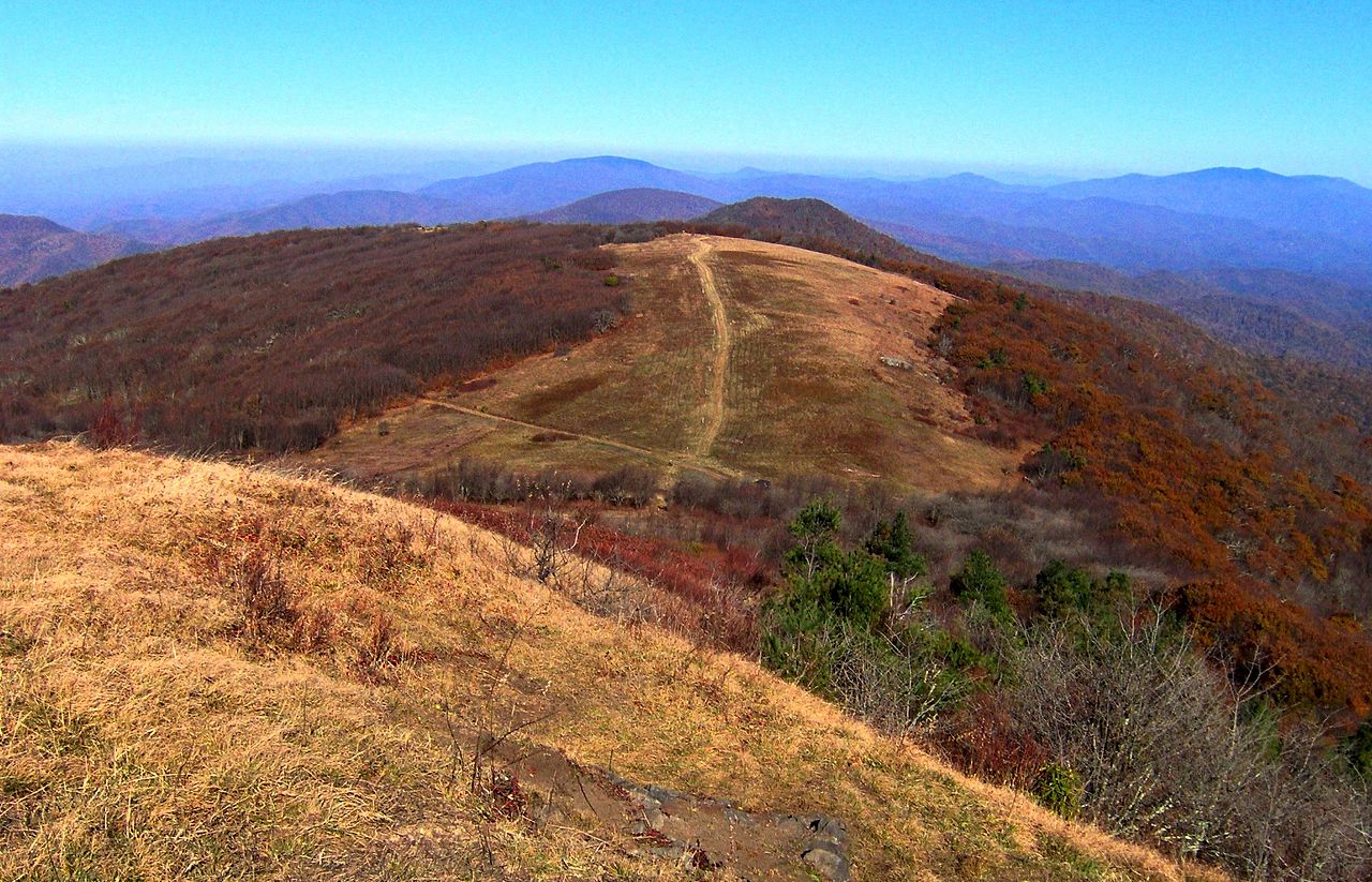 Big BaldSummit · ~5 min drivePhoto: Brian Stansberry, CC BY 3.0 (via Wikimedia Commons)Wolf Laurel Nature TrailHiking · ~6 min drivePhoto: Will Thomas, CC BY-SA 3.0 (via Wikimedia Commons)
Best months: March–November. Best months have typical highs of 55–85 °F, lows of 30 °F or warmer (32 °F where the station doesn't record snow), at most one snowy day and no more than 12 wet days.
Jan
45° / 26°
Feb
49° / 29°
Mar
56° / 34°
Apr
66° / 42°
May
73° / 49°
Jun
80° / 58°
Jul
83° / 61°
Aug
81° / 60°
Sep
76° / 54°
Oct
67° / 42°
Nov
57° / 34°
Dec
48° / 28°
Typical high / low (°F) and days with rain or snow, 1991–2020. Measured at Burnsville Ag, NC, 10.1 mi away at 2,825 ft. The station sits about 900 ft lower than this place, so expect it a little cooler here. This station doesn't record snowfall. Source: NOAA NCEI U.S. Climate Normals 1991–2020.
