Thompson Creek Camp Site
Campground
Campground · 0.2 mi from the trail
Closure in the area
There's a closure order in National Forests in North Carolina. It doesn't name Thompson Creek, so check the source for the area it covers (2 listed).
Maple Sally Road Closure
Agency closure covering National Forests in North Carolina · USFS · National Forests in North Carolina
Table Rock Road construction starts Nov. 2, 2026
Agency closure covering National Forests in North Carolina · USFS · National Forests in North Carolina
Temporary Closure - The Elk Falls Trail
Agency alert covering National Forests in North Carolina · USFS · National Forests in North Carolina
Rainbow Springs Road closed for reconstruction
Agency alert covering National Forests in North Carolina · USFS · National Forests in North Carolina
Siddie Fields Day Use Area closed for improvements
Agency alert covering National Forests in North Carolina · USFS · National Forests in North Carolina
As of · Source: USFS · National Forests in North Carolina. Agencies don't list every closure — check before you go.
Thompson Creek is a 4.43-mile out-and-back trail in the Pisgah Ranger District of the National Forests in North Carolina, managed by the Forest Service. The nearest town is Wolf Ford, about 2.8 miles away. The trail is rated moderate, with a total elevation gain of 1,964 feet, and it connects to the Pilot Rock trail system, which makes it easy to extend your day into a longer backcountry loop. The climb is steepest around mile 1.7, where the grade reaches 37%, and the route peaks at about 4,981 feet. The trail is natural-surface and allows bikes, so it works for hikers and riders alike. Pilot Rock lies just 0.8 miles away, and the Pink Beds Connector is about 1.2 miles off. Climbers can head to East Slate Rock, roughly 2 miles away, and paddlers will find the South Fork Mills River about 2.4 miles from the trail.
Thompson Creek Camp Site
Campground
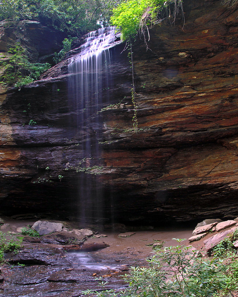
 If it rainsMx. Granger, CC0 · Wikimedia Commons
Places © OpenStreetMap contributors · Photos: Mx. Granger, CC0 (commons)
More in HendersonvilleNot on Roamze yet. Their page has how to reach them.
 Pilot RockHikingPhoto: Edu Fiasco, CC BY-SA 3.0 (via Wikimedia Commons)0.8 mi
Source: Roamze catalog (indexable pages within 10 miles, PostGIS distance)
Pilot RockHiking · ~1 min drivePhoto: Edu Fiasco, CC BY-SA 3.0 (via Wikimedia Commons)Pilot Rock TrailHiking · ~3 min drivePhoto: Edu Fiasco, CC BY-SA 3.0 (via Wikimedia Commons) Barnett BranchHiking · ~3 min drivePhoto: Payton Chung, CC BY 2.0 (via Flickr)
 Mount PisgahHiking · ~4 min drivePhoto: w_lemay, CC BY-SA 2.0 (via Flickr)
 Mount Pisgah TrailHiking · ~4 min drivePhoto: w_lemay, CC BY-SA 2.0 (via Flickr)
 Big East Fork TrailHiking · ~7 min drivePhoto: USDAgov, Public Domain Mark (via Flickr)
 Buckwheat KnobHiking · ~8 min drivePhoto: rharrison, CC BY-SA 2.0 (via Flickr)
 Clawhammer CoveHiking · ~8 min drivePhoto: zappowbang, CC BY-SA 2.0 (via Flickr)
 Buck SpringsHiking · ~4 min drivePhoto: Donald Lee Pardue, CC BY 2.0 (via Flickr)Squirrel GapHiking · ~5 min drivePhoto: zappowbang, CC BY-SA 2.0 (via Flickr)

