Buckhorn Gap Shelter and Campsite
Campground
Campground · 2.2 mi from the trail
 Photo: Donald Lee Pardue, CC BY 2.0 (via Flickr)
Caution at last check
Agency alerts are in effect for this area; weather is good · USFS, OpenWeather · checked 15 h ago
Closure in the area
There's a closure order in National Forests in North Carolina. It doesn't name Buck Springs, so check the source for the area it covers (2 listed).
Maple Sally Road Closure
Agency closure covering National Forests in North Carolina · USFS · National Forests in North Carolina
Table Rock Road construction starts Nov. 2, 2026
Agency closure covering National Forests in North Carolina · USFS · National Forests in North Carolina
Temporary Closure - The Elk Falls Trail
Agency alert covering National Forests in North Carolina · USFS · National Forests in North Carolina
Rainbow Springs Road closed for reconstruction
Agency alert covering National Forests in North Carolina · USFS · National Forests in North Carolina
Siddie Fields Day Use Area closed for improvements
Agency alert covering National Forests in North Carolina · USFS · National Forests in North Carolina
As of · Source: USFS · National Forests in North Carolina. Agencies don't list every closure — check before you go.
Buck Springs is a hard hike in the Pisgah Ranger District of the National Forests in North Carolina, managed by the Forest Service. The trail is an out-and-back that starts at the Buck Creek Spring Trailhead and climbs from about 3,770 feet to a high point of 4,954 feet, with a total elevation gain of 2,688 feet over the course of the trip. The steepest stretch comes at about 1.8 miles in, where the grade reaches 27 percent. The route is 12.3 miles long and is open year-round. Bikes are allowed, and the trail surface is natural. Plan on about 5.5 hours for the round trip. Barnett Branch lies about half a mile away, and the PINK BEDS LOOP is about a mile off. For paddling, the South Fork Mills River is about 3 miles away, and Blue Ridge Motorcycle Campgrounds is about 3.1 miles away.
Buckhorn Gap Shelter and Campsite
Campground
 If it rainsMx. Granger, CC0 · Wikimedia Commons
Places © OpenStreetMap contributors, Places © Overture Maps Foundation · Photos: Mx. Granger, CC0 (commons)
More in HendersonvilleNot on Roamze yet. Their page has how to reach them.
 Barnett BranchHikingPhoto: Payton Chung, CC BY 2.0 (via Flickr)0.5 mi
 Northside BouldersRock climbingPhoto: ninepennies, CC BY-SA 2.0 (via Flickr)4.4 mi
 Upper Cove Creek Roadside CampsitesCampingPhoto: Wncoutdoors, CC BY-SA 3.0 (via Wikimedia Commons)4.4 mi
Source: Roamze catalog (indexable pages within 10 miles, PostGIS distance)
Barnett BranchHiking · Next doorPhoto: Payton Chung, CC BY 2.0 (via Flickr) Pilot RockHiking · ~5 min drivePhoto: Edu Fiasco, CC BY-SA 3.0 (via Wikimedia Commons)SENIARD RIDGE CONNECTORHiking · ~5 min drivePhoto: Wncoutdoors, CC BY-SA 3.0 (via Wikimedia Commons)
 Big East Fork TrailHiking · ~4 min drivePhoto: USDAgov, Public Domain Mark (via Flickr)
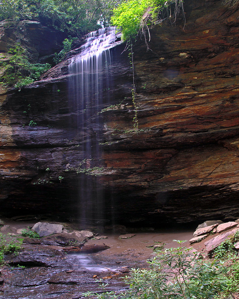 Buckwheat KnobHiking · ~6 min drivePhoto: rharrison, CC BY-SA 2.0 (via Flickr)Pilot Rock TrailHiking · ~6 min drivePhoto: Edu Fiasco, CC BY-SA 3.0 (via Wikimedia Commons)Case Camp RidgeHiking · ~5 min drivePhoto: Wncoutdoors, CC BY-SA 3.0 (via Wikimedia Commons)Perry CoveHiking · ~7 min drivePhoto: rharrison, CC BY-SA 2.0 (via Flickr)
 Mount Pisgah TrailHiking · ~7 min drivePhoto: w_lemay, CC BY-SA 2.0 (via Flickr)
 Greasy CoveHiking · ~6 min drivePhoto: daveynin, CC BY 2.0 (via Flickr)

