Mount Pisgah Campground - Milepost 408.6
Campground
Campground · 1.1 mi from the trail
 Photo: w_lemay, CC BY-SA 2.0 (via Flickr)
Closure in the area
There's a closure order in National Forests in North Carolina. It doesn't name Mount Pisgah Trail, so check the source for the area it covers (2 listed).
Maple Sally Road Closure
Agency closure covering National Forests in North Carolina · USFS · National Forests in North Carolina
Table Rock Road construction starts Nov. 2, 2026
Agency closure covering National Forests in North Carolina · USFS · National Forests in North Carolina
Temporary Closure - The Elk Falls Trail
Agency alert covering National Forests in North Carolina · USFS · National Forests in North Carolina
Rainbow Springs Road closed for reconstruction
Agency alert covering National Forests in North Carolina · USFS · National Forests in North Carolina
Siddie Fields Day Use Area closed for improvements
Agency alert covering National Forests in North Carolina · USFS · National Forests in North Carolina
As of · Source: USFS · National Forests in North Carolina. Agencies don't list every closure — check before you go.
Mount Pisgah Trail is a 2.06-mile out-and-back hike in North Carolina with 830 feet of elevation gain and loss. The trail reaches a maximum elevation of 5,057 feet.
Mount Pisgah Campground - Milepost 408.6
Campground
 If it rainsMx. Granger, CC0 · Wikimedia Commons
Places © OpenStreetMap contributors, Places © Overture Maps Foundation · Photos: Mx. Granger, CC0 (commons)
More in HendersonvilleNot on Roamze yet. Their page has how to reach them.
 Pilot Rock TrailHiking · ~2 min drivePhoto: Edu Fiasco, CC BY-SA 3.0 (via Wikimedia Commons)Pilot RockHiking · ~4 min drivePhoto: Edu Fiasco, CC BY-SA 3.0 (via Wikimedia Commons)
 Barnett BranchHiking · ~6 min drivePhoto: Payton Chung, CC BY 2.0 (via Flickr)
 cold knob boundary trailHiking · ~10 min drivePhoto: Clexow, CC BY-SA 2.0 (via Flickr)
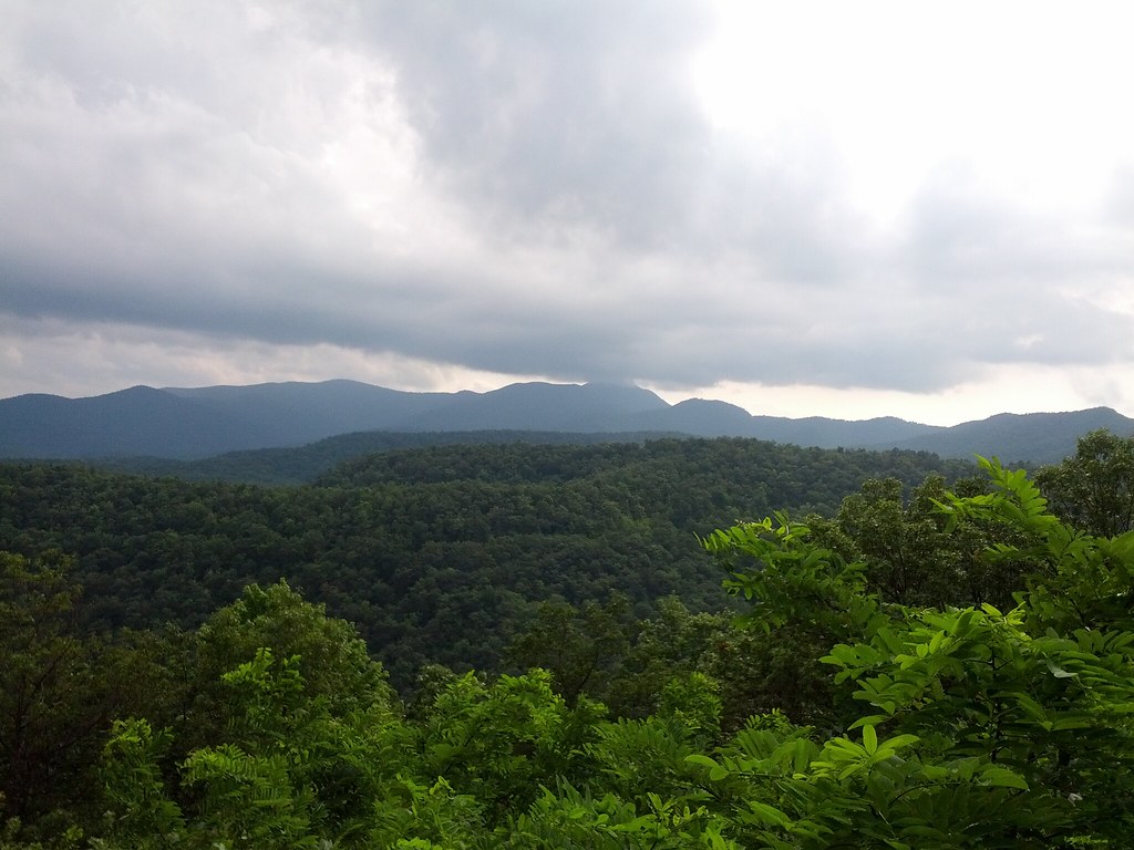 pine mountain trailHiking · ~10 min drivePhoto: Clexow, CC BY-SA 2.0 (via Flickr)
 Big East Fork TrailHiking · ~9 min drivePhoto: USDAgov, Public Domain Mark (via Flickr)Bent Creek TrailHiking · ~10 min drivePhoto: Clexow, CC BY-SA 2.0 (via Flickr)
 Buck SpringsHiking · ~7 min drivePhoto: Donald Lee Pardue, CC BY 2.0 (via Flickr)
Map and trail data © OpenStreetMap contributors
