Free — you'll pick up right here.
Watch this trail
Sign up to watch it — saving subscribes you to gate, closure and report changes.
North Carolina
Squirrel Gap
4.7 mi
Distance
1,191 ft
Gain
2h 3m
Time
No verdict for this trail
We won't guess. Here is exactly what we do and don't know.
What we do know
Inside National Forests in North Carolina
2 managing-area boundaries mapped — agency alerts for them feed this page automatically.
Boundary data
What's missing
No access route mapped
We don't yet know which road reaches this trailhead, so we can't tell you if it's gated.
Nobody's filed a report here yet — be the first.
Why you'll love it
Here's your day, mapped
Squirrel Gap
AI-suggested draft · review before you go
Meals
Gear for the day
Elevation & route
- Distance
- 4.7 mi
- Elevation gain
- 1,191 ft
- Elevation loss
- 1,191 ft
- Highest point
- 3,394 ft
- Lowest point
- 2,925 ft
Photos
Directions & GPX
Permits & access
- Managing agency
- Forest Service
- Bikes
- yes
About this trail
Squirrel Gap offers a moderate 4.67-mile out-and-back adventure in Tennessee, making it an ideal choice for hikers seeking a balanced challenge. This trail serves as a gateway to an extensive network of connected paths, including Bradley Creek Trail, Mullinax Gap, and several others, allowing adventurers to customize their experience based on skill level and time available. Whether you're looking for a focused hike or planning to explore the broader trail system, Squirrel Gap provides solid access to the region's outdoor recreation opportunities.
Add to a trip & share
Keep exploring — more trails worth the drive
 Photo: zappowbang, CC BY-SA 2.0 (via Flickr)
Clawhammer Cove
~4 min drive
A 2.17-mile out-and-back trail in Tennessee that connects to Avery Creek Trail and the Twin Falls-Clawhammer Cove Loop system.
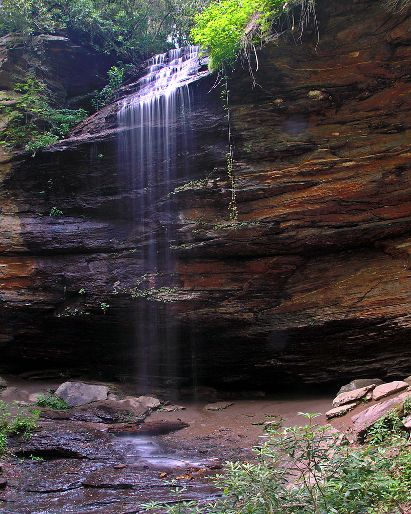 Photo: rharrison, CC BY-SA 2.0 (via Flickr)
Coontree Loop
~5 min drive
3.02-mile out-and-back trail in North Carolina with 1,045 ft elevation gain
 Photo: Payton Chung, CC BY 2.0 (via Flickr)
Barnett Branch
~6 min drive
A moderate 7.76-mile out-and-back trail in Tennessee connected to the Black Mountain and Pink Beds Loop trail system.
Squirrel Gap
~2 min drive
15.88-mile out-and-back trail in North Carolina with 1,220 ft gain.
 Photo: 5chw4r7z, CC BY-SA 2.0 (via Flickr)
Moore Cove
~6 min drive
An easy 1.30-mile out-and-back walk in Tennessee with wooden bridges, steps, and boardwalks.
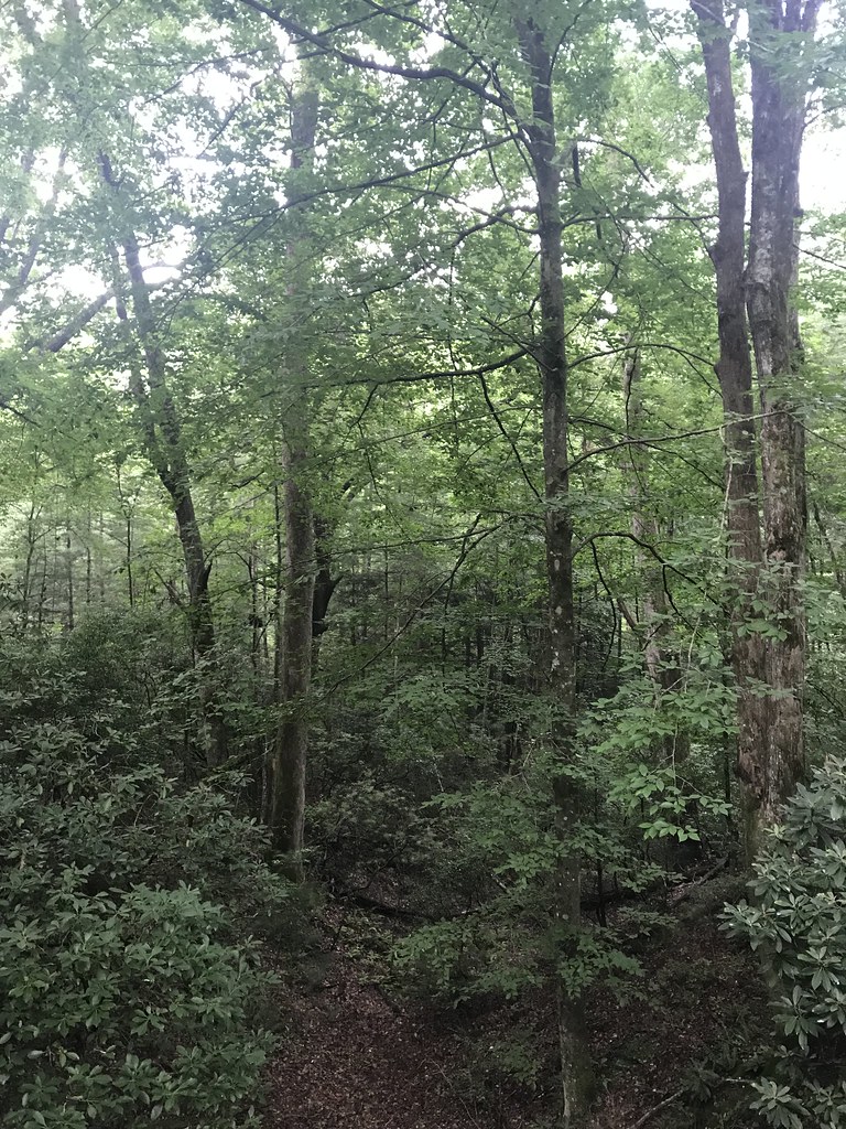 Photo: HopeHill, CC BY 2.0 (via Flickr)
Thrift Cove Trail
~7 min drive
4.84-mile out-and-back hike in North Carolina with 2,014 ft elevation gain and loss.
 Photo: Donald Lee Pardue, CC BY 2.0 (via Flickr)
Buck Springs
~6 min drive
A 12.29-mile moderate out-and-back trail in Tennessee with packed dirt and rocky surfaces, connecting to the Shut-in Trail system.
Horse Cove Gap
~3 min drive
4.4-mile out-and-back trail in North Carolina with 1,057 ft gain
Photo: HopeHill, CC BY 2.0 (via Flickr)Exercise Trail
~7 min drive
Easy 2.73-mile loop in North Carolina with 201 ft elevation gain.
 Photo: 5chw4r7z, CC BY-SA 2.0 (via Flickr)
COON TREE LOOP CONNECTOR
~7 min drive
3.34-mile out-and-back trail in North Carolina with 1,257 ft elevation gain.
Also worth it near here


