Mount Pisgah Campground - Milepost 408.6
Campground
Campground · 1.1 mi from the trail
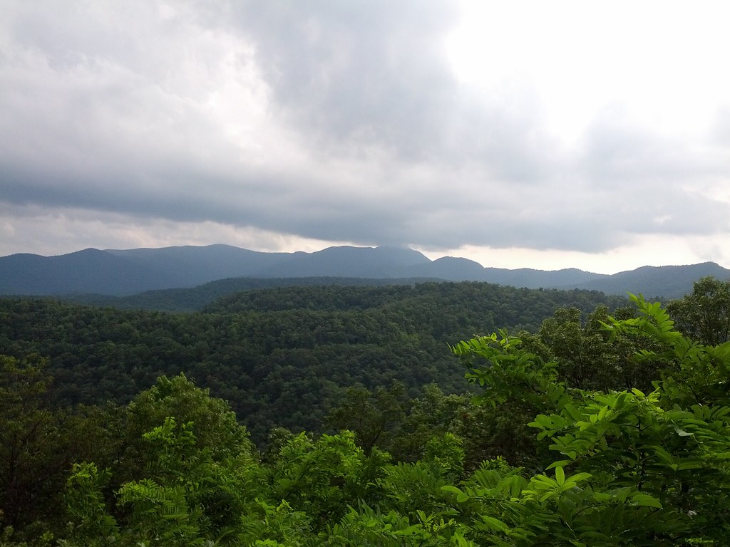
 Photo: w_lemay, CC BY-SA 2.0 (via Flickr)
Closure in the area
There's a closure order in National Forests in North Carolina. It doesn't name Mount Pisgah, so check the source for the area it covers (2 listed).
Maple Sally Road Closure
Agency closure covering National Forests in North Carolina · USFS · National Forests in North Carolina
Table Rock Road construction starts Nov. 2, 2026
Agency closure covering National Forests in North Carolina · USFS · National Forests in North Carolina
Temporary Closure - The Elk Falls Trail
Agency alert covering National Forests in North Carolina · USFS · National Forests in North Carolina
Rainbow Springs Road closed for reconstruction
Agency alert covering National Forests in North Carolina · USFS · National Forests in North Carolina
Siddie Fields Day Use Area closed for improvements
Agency alert covering National Forests in North Carolina · USFS · National Forests in North Carolina
As of · Source: USFS · National Forests in North Carolina. Agencies don't list every closure — check before you go.
Mount Pisgah is a 2.38-mile out-and-back hike in the Pisgah Ranger District of the National Forests in North Carolina, within the Blue Ridge Parkway area managed by the National Park Service. The trail is an out-and-back with a total climb of about 1,056 feet, and the steepest stretch comes at about 0.93 miles in, where the grade reaches 25%. The route starts at an elevation of about 4,994 feet and climbs to about 5,716 feet at the high point. The trail is rated easy, and it is open to bikes on its natural surface. There is no fee to hike it. Pilot Rock Trail lies about 0.9 miles away, and Little Bald Mountain Trail, a mountain biking route, is about 1.1 miles off. Climbers can find First Boulders and Superhero Boulder about 1.6 miles from the trail.
Mount Pisgah Campground - Milepost 408.6
Campground
 If it rainsMx. Granger, CC0 · Wikimedia Commons
Places © OpenStreetMap contributors, Places © Overture Maps Foundation · Photos: Mx. Granger, CC0 (commons)
More in HendersonvilleNot on Roamze yet. Their page has how to reach them.
Daily highs and lows, wind and the chance of precipitation at the summit and route start for the next 7 days, from the Open-Meteo model.
 Pilot Rock TrailHikingPhoto: Edu Fiasco, CC BY-SA 3.0 (via Wikimedia Commons)0.9 mi
Source: Roamze catalog (indexable pages within 10 miles, PostGIS distance)
Pilot Rock TrailHiking · ~2 min drivePhoto: Edu Fiasco, CC BY-SA 3.0 (via Wikimedia Commons)Pilot RockHiking · ~4 min drivePhoto: Edu Fiasco, CC BY-SA 3.0 (via Wikimedia Commons) Barnett BranchHiking · ~6 min drivePhoto: Payton Chung, CC BY 2.0 (via Flickr)
 cold knob boundary trailHiking · ~10 min drivePhoto: Clexow, CC BY-SA 2.0 (via Flickr)
 pine mountain trailHiking · ~10 min drivePhoto: Clexow, CC BY-SA 2.0 (via Flickr)
 Big East Fork TrailHiking · ~9 min drivePhoto: USDAgov, Public Domain Mark (via Flickr)
 Squirrel GapHiking · ~9 min drivePhoto: zappowbang, CC BY-SA 2.0 (via Flickr)
 Buck SpringsHiking · ~7 min drivePhoto: Donald Lee Pardue, CC BY 2.0 (via Flickr)
Season: Year-round.
About 2.4 mi round trip from Mt. Pisgah Parking Area MP 407.6 (about 4,994 ft).
About 1,056 ft of climbing round trip.
It is rated moderate.
Mt. Pisgah Parking Area MP 407.6 (about 4,994 ft).
About 1.5 hours round trip.
Year-round.
