Big Junction
- 5,374 ft
- summit
- 1
- way up
Is Big Junction open right now?
Closure in the area
There's a closure order in National Forests in North Carolina. It doesn't name Big Junction, so check the source for the area it covers (2 listed).
Maple Sally Road Closure
Agency closure covering National Forests in North Carolina · USFS · National Forests in North Carolina
Table Rock Road construction starts Nov. 2, 2026
Agency closure covering National Forests in North Carolina · USFS · National Forests in North Carolina
Temporary Closure - The Elk Falls Trail
Agency alert covering National Forests in North Carolina · USFS · National Forests in North Carolina
Rainbow Springs Road closed for reconstruction
Agency alert covering National Forests in North Carolina · USFS · National Forests in North Carolina
Siddie Fields Day Use Area closed for improvements
Agency alert covering National Forests in North Carolina · USFS · National Forests in North Carolina
As of · Source: USFS · National Forests in North Carolina. Agencies don't list every closure — check before you go.
Big Junction is a summit in the Cheoah Ranger District of the National Forests in North Carolina. The nearest town is Lake Santeetlah, about 10 miles away. These cover the whole forest, not this summit specifically. Snowbird Mountain is just 0.2 miles away, and Hooper Bald and Mitchell Lick are both within about a mile and a half. For an overnight base, Holder Cove Campground is about 4 miles off.
Conditions and forecast
Daily highs and lows, wind and the chance of precipitation at the summit and route start for the next 7 days, from the Open-Meteo model.
- Summit elevation
- 5,374 ft
Elevation from USGS 3D Elevation Program terrain data (about 10 m resolution).
Map © Mapbox © OpenStreetMap contributors Questions about Big Junction
How tall is Big Junction?
5,374 ft (1,638 m).
How many routes go to the summit of Big Junction?
One: Snowbird Mountain.
When is the best time to climb Big Junction?
Year-round.
- Laurel Top5,338 ft · North Carolina1 route0.3 mi away
- Huckleberry Knob5,558 ft · North Carolina1 route2.1 mi away
- Rattlesnake Rock4,143 ft · Tennessee2 routes3.7 mi away
- Bob Bald5,273 ft · North Carolina1 route4.9 mi away
- Stratton Bald5,343 ft · North Carolina1 route5.2 mi away
- Chestnut Knob4,302 ft · North Carolina1 route6.2 mi away
 Snowbird MountainHikingPhoto: pseabolt, CC BY 3.0 (via Wikimedia Commons)0.2 mi
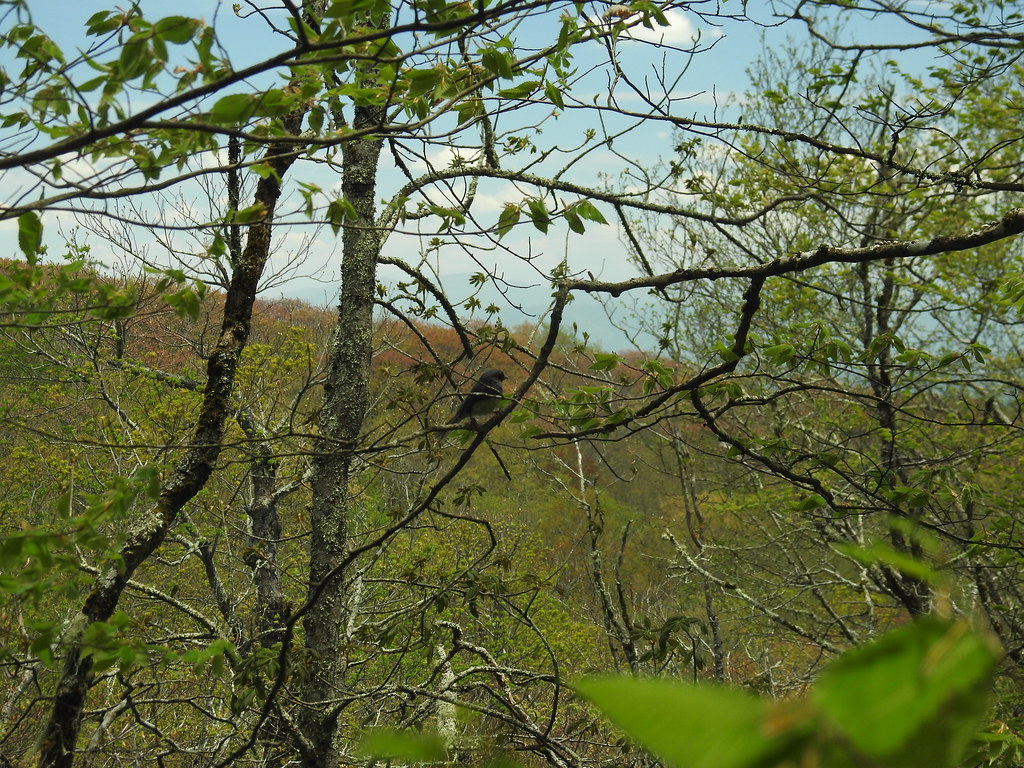 Hooper BaldHikingPhoto: MichaelGras, CC BY 2.0 (via Flickr)1.2 mi
- Mitchell LickHikingPhoto: pseabolt, CC BY 3.0 (via Wikimedia Commons)1.4 mi
 Holder Cove CampgroundCampingPhoto: Idawriter, CC BY-SA 3.0 (via Wikimedia Commons)4.3 mi
- Donley CabinCamping4.3 mi
- State Line CgCampingPhoto: Idawriter, CC BY-SA 3.0 (via Wikimedia Commons)4.3 mi
- Snowbird CreekCanoeing4.9 mi
- Tellico RiverRiver fishing7 mi
Source: Roamze catalog (indexable pages within 10 miles, PostGIS distance)
- Laurel TopSummit · Next door
- Mitchell LickSummit · ~2 min drive
- Huckleberry KnobSummit · ~4 min drive
- Rattlesnake RockSummit · ~6 min drive
- Bob BaldSummit · ~8 min drive
- Stratton BaldSummit · ~9 min drive
- Wildcat KnobSummit · ~10 min drive
- Chestnut KnobSummit · ~11 min drive
- Big FodderstackSummit · ~13 min drive
- Rock Creek KnobSummit · ~14 min drive
