Naked Ground
 Photo: Ken Thomas, Public domain (via Wikimedia Commons)
- 8.7 mi
- round trip
- 3,016 ft
- climb
- 4,875 ft
- high point
- Out and back
- route
Is Naked Ground open right now?
Closure in the area
There's a closure order in National Forests in North Carolina. It doesn't name Naked Ground, so check the source for the area it covers (2 listed).
Maple Sally Road Closure
Agency closure covering National Forests in North Carolina · USFS · National Forests in North Carolina
Table Rock Road construction starts Nov. 2, 2026
Agency closure covering National Forests in North Carolina · USFS · National Forests in North Carolina
Temporary Closure - The Elk Falls Trail
Agency alert covering National Forests in North Carolina · USFS · National Forests in North Carolina
Rainbow Springs Road closed for reconstruction
Agency alert covering National Forests in North Carolina · USFS · National Forests in North Carolina
Siddie Fields Day Use Area closed for improvements
Agency alert covering National Forests in North Carolina · USFS · National Forests in North Carolina
As of · Source: USFS · National Forests in North Carolina. Agencies don't list every closure — check before you go.
Naked Ground is a hard hike in the Joyce Kilmer-Slickrock Wilderness, part of the Cheoah Ranger District of the National Forests in North Carolina. The trail is an out-and-back that climbs from about 2,360 feet to a high point of 4,875 feet, with a total elevation gain of 3,016 feet over the course of the trip. The steepest stretch comes at about 3.3 miles in, where the grade reaches 40 percent. The route is 8.7 miles long and is on natural surface. Bikes are not allowed, and the trail is not accessible. The Forest Service manages the land, and the hike is open year-round. Plan for about 4.5 hours on the trail. Jenkins Meadow is a hike just 0.7 miles away, and Horse Cove Campground and Rattler Ford Campground are both about 0.9 miles off. For more time on foot, the Deep Creek Connector lies about 2.2 miles away.
Local outfitters
- GSM Outfitters30 mi away
- Hurshel's Outfitters37 mi away
Not on Roamze yet. Their page has how to reach them.
- Jenkins MeadowHikingPhoto: Ken Thomas, Public domain (via Wikimedia Commons)0.7 mi
- Horse Cove CampgroundCamping0.9 mi
- Rattler Ford CampgroundCamping0.9 mi
 Santeetlah Creek CampsitesCampingPhoto: Ken Thomas, Public domain (via Wikimedia Commons)1.3 mi
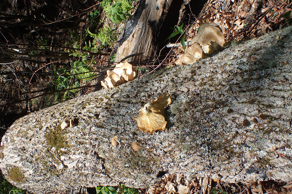 DEEP CREEK CONNECTORHikingPhoto: MichaelGras, CC BY 2.0 (via Flickr)2.2 mi
- Deep CreekHikingPhoto: MichaelGras, CC BY 2.0 (via Flickr)2.7 mi
- Snowbird CreekCanoeing6 mi
- Massey Branch AreaPier fishing6.2 mi
Source: Roamze catalog (indexable pages within 10 miles, PostGIS distance)
- DEEP CREEK CONNECTORHiking · ~4 min drivePhoto: MichaelGras, CC BY 2.0 (via Flickr)
 Deep CreekHiking · ~7 min drivePhoto: MichaelGras, CC BY 2.0 (via Flickr)
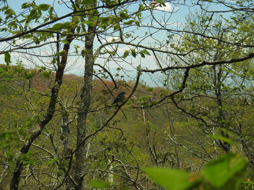 Hooper BaldHiking · ~9 min drivePhoto: MichaelGras, CC BY 2.0 (via Flickr)
 FODDERSTACK MOUNTAINHiking · ~10 min drivePhoto: MichaelGras, CC BY 2.0 (via Flickr)
- Deep CreekHiking · ~5 min drivePhoto: MichaelGras, CC BY 2.0 (via Flickr)
 Snowbird MountainHiking · ~11 min drivePhoto: pseabolt, CC BY 3.0 (via Wikimedia Commons)
 Wright's CreekHiking · ~5 min drivePhoto: MichaelGras, CC BY 2.0 (via Flickr)
- Mitchell LickHiking · ~9 min drivePhoto: pseabolt, CC BY 3.0 (via Wikimedia Commons)
- Jenkins MeadowHiking · ~1 min drivePhoto: Ken Thomas, Public domain (via Wikimedia Commons)
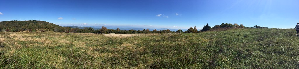 HuckleberryHiking · ~8 min drivePhoto: wordjunky, CC BY 2.0 (via Flickr)
